Prepare for an ‘extraordinary’ hurricane season on the East Coast, forecasters say
NOAA is predicting up to seven major Atlantic hurricanes this year. Officials say now is the time to prepare.
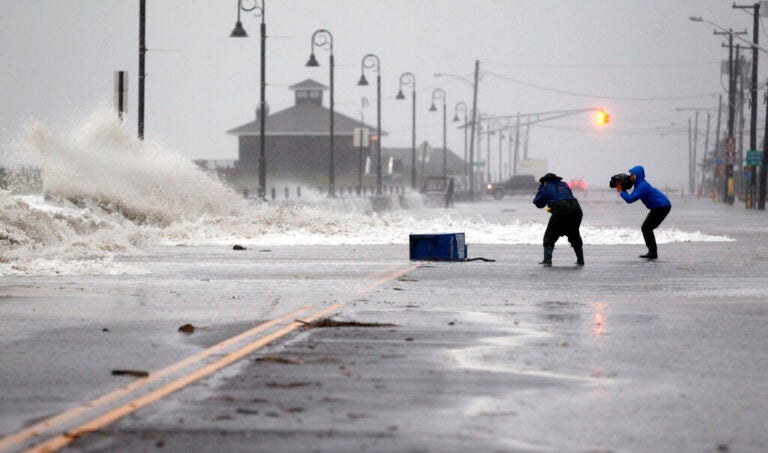
People photograph as rough surf of the Atlantic Ocean breaks over the beach and across Beach Ave., Monday morning, Oct. 29, 2012, in Cape May, N.J., as high tide and Hurricane Sandy begin to arrive. (AP Photo/Mel Evans)
This story is part of the WHYY News Climate Desk, bringing you news and solutions for our changing region.
From the Poconos to the Jersey Shore to the mouth of the Delaware Bay, what do you want to know about climate change? What would you like us to cover? Get in touch.
With the Atlantic hurricane season just a week away, government forecasters are urging people to start preparing now.
This summer and fall are expected to be unusually active for storms.
“[This] forecast for named storms, hurricanes and major hurricanes is the highest NOAA has ever issued for the May outlook,” NOAA Administrator Rick Spinrad told reporters Thursday.
The agency predicts 17 to 25 named storms will form in the Atlantic Ocean between June 1 and November 30. The forecast includes eight to 13 hurricanes — four to seven of which could be major. Forecasters can’t predict yet how many storms will make landfall and what areas they will impact.
But New Jersey officials use the Tropical Meteorology Project at Colorado State University as a guide, which this year puts the probability of a hurricane impacting the Garden State, or coming within 50 miles of its coastline at 11%. The project puts the probability of a major hurricane hitting the state at 1%.
“These percentages may seem low but it’s important to keep in mind it only takes one storm to create dramatic impacts,” Stevens Institute of Technology professor Jon Miller said during a press conference this week on the State of the Shore report.
Miller emphasized that in 2012, the year Hurricane Sandy made landfall in Atlantic City, those probabilities were lower. Those probabilities were also lower in 2020, when Hurricane Ida wrought havoc on the region.
The unusually active forecast is a result of several factors. Officials predict La Niña will likely develop in the coming months, depressing the wind shear that can disrupt storm formation. Meanwhile, extraordinarily warm ocean temperatures — caused in part by climate change — will provide more energy to fuel storms.
“We know warm sea surface temperatures are an important factor in rapid intensification of tropical cyclones to major hurricane status,” Spinrad said.
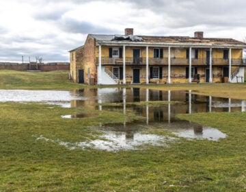
Not every storm that forms makes landfall. This time last year, the agency predicted 12 to 17 named storms, including five to nine hurricanes. No hurricanes made a direct hit to the Philadelphia region in 2023, but remnants of Tropical Storm Ophelia caused flooding, erosion and wind damage at the Jersey and Delaware beaches.
“It only takes one storm to devastate a community,” Spinrad noted. He said the past is “not necessarily prologue when it comes to the hurricanes of the future.”
Officials warn destruction and deaths frequently happen inland from the coasts — for example, when people in vehicles are caught up in flooding caused by heavy rain. Deaths from improper use of generators are also common.
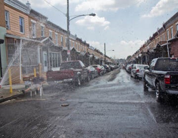
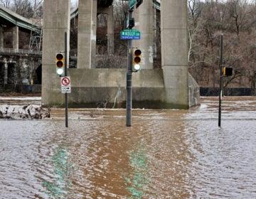
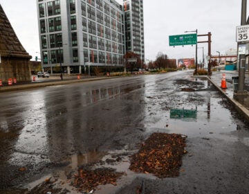
In 2021, the remnants of Hurricane Ida swept through the Philadelphia region after making landfall in Louisiana. In Pennsylvania, the storm affected thousands of homes and multi-family buildings, damaging more than 1,700 and completely destroying close to 70. The Vine Street Expressway in Center City was inundated with flood waters. Five people in Pennsylvania died.
The year before, Tropical Storm Isaias damaged around 500 single-family homes and 85 multi-family residential buildings in Philadelphia alone — requiring a recovery effort that took years.
The time to make a plan for how your family will respond to a storm is now, before one hits, officials say.
“Because once the storm is headed your way, it all happens so rapidly, you won’t have the time to plan and prepare at that point,” Spinrad said.
Rapidly intensifying storms make responding in the moment even harder.
“Then you’re competing to get water, you’re getting in the big long lines for evacuations, the traffic,” said Ken Graham, director of the National Weather Service. “So the earlier you can prepare, the absolute better.”
Philadelphians whose homes have flooded during past storms recommend considering flood insurance and elevating valuable items.
Make sure to take into account your household’s particular needs when making emergency plans, officials say. For example, consider any medical devices that require electricity, mobility challenges or medications you would need in the case of an evacuation.
FEMA Deputy Administrator Erik Hooks recommends communicating these needs to your local emergency managers ahead of time, so that first responders know your situation and where you live.
“They can help tailor evacuation plans for you, can help tailor what hospital needs you might have, identify shelters and places that may have backup generators that can support your medical devices and your particular unique medical needs, or your mobility and functional needs as well,” he said.

Get daily updates from WHYY News!
WHYY is your source for fact-based, in-depth journalism and information. As a nonprofit organization, we rely on financial support from readers like you. Please give today.


