N.J. sets record for heat in August, more warm temps expected this fall
New numbers from the National Oceanic and Atmospheric Administration show the Philly-area saw record or near record heat this summer.
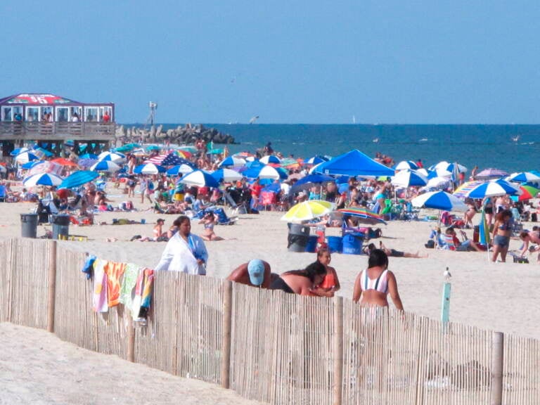
Beachgoers are seen on Point Pleasant Beach. (Wayne Parry/AP)
If you thought it was hot this summer, you were correct.
New numbers from the National Oceanic and Atmospheric Administration show the Philly-area saw record or near record heat in the past three months.
New Jersey had its hottest August on record with an average temperature of 77.6 degrees Fahrenheit. Delaware’s average temp of 78.3 was its third warmest August, while Pennsylvania’s 71.4 was its 18th warmest August average.
NOAA climatologist Ahira Sánchez-Lugo said those regional conditions were mirrored around the globe this summer.
“During the month of August, we saw warmer than average conditions across much of the world’s land and ocean surfaces,” she said. “As a whole, the June through August temperature for the globe tied with 2015 and 2017 as the fifth highest such period on record.”
The warm temps in our region this summer mirrors the heat seen across much of the country. According to the NOAA, the average temperature in the contiguous U.S. from January through August makes this the third warmest year on record.
Sánchez-Lugo says this year was just shy of the hottest summer for the entire country.
“The summer temperatures for this year’s U.S. was 73.9 degrees Fahrenheit, which is 2.5 degrees Fahrenheit above average,” she said.
The summer of 2021 tied for the warmest summer on record.
Even Alaska recorded its third warmest year to date, with an average temperature of 52.1°F through August. Globally, NOAA says the Northern Hemisphere’s August temperature tied with 2020 as the highest for August on record.
The warmer-than-usual temps come as the area has also been drier than normal. New Jersey saw its sixth driest period between June and August, with nearly five inches below the normal amount of precipitation. That’s the driest summer since 1966. Delaware had its driest summer since 2010, 2.5 inches below normal. Pennsylvania saw a bit more rain, with summer precipitation coming in at a little more than an inch below normal.
Looking ahead, NOAA’s predictions say it’s likely we’ll see warmer than usual temperatures in October and through the end of the year. Rainfall is expected to be about average for the Philadelphia area.
WHYY is your source for fact-based, in-depth journalism and information. As a nonprofit organization, we rely on financial support from readers like you. Please give today.
