Icy conditions remain after heavy, wet snow hits Philly region
A final band of snow is moving out of Philadelphia, the suburbs, Lehigh Valley and central New Jersey Thursday morning.
This story originally appeared on NBC10.
___
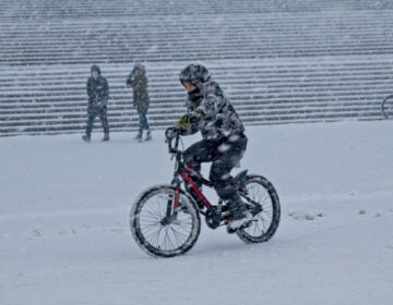
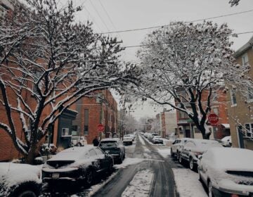
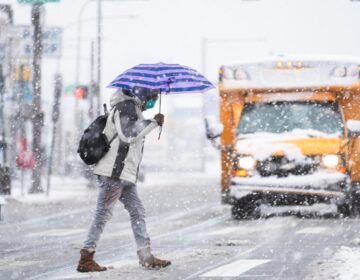
After a heavy burst of snow dropped multiple inches of snow from Philadelphia to the suburbs, the cleanup was underway Thursday morning.
Any untreated surface will be quite slushy and slippery. A final band of snow pivoted through Philadelphia, the suburbs, Lehigh Valley and central New Jersey during the overnight hours and into the early morning hours Thursday, potentially adding to snow totals. Snow continued to fall in some neighborhoods after 6 a.m.
Roads… they’re not great. But the storm is moving out and crews are out working their magic! Take it slow if you head out early, and wait to drive if you can. We’re on @NBCPhiladelphia! @SheilaWatko @BillHenleyUSA pic.twitter.com/9ddosa4BWh
— Krystal Klei (@KrystalKlei) December 17, 2020
Temperatures dropped into the upper 20s for the morning commute. This means that some of the back roads and neighborhood streets will be icy if left untreated. Driving conditions will be toughest from Philadelphia, northern Delaware, and points north and west into the suburbs and Lehigh Valley.
Final snow totals continue to look like 6 to 10 inches in the suburbs, 3 to 6 inches in the City and 2 to 5 inches across Delaware River neighborhoods in New Jersey.
The snow and ice will be extremely heavy to remove. The snow was a wet, pasty, almost cement-like snow with ice and rain added into it. If you’re not in good shape or health, please have someone else remove it for you. Otherwise, the risk of a heart attack is much higher than a light and fluffy snow.
In addition to the snow, ice, and rain overnight, strong wind gusts of 45 mph in and around Philadelphia will give the air a numbing feeling. Gusts up to 60 mph at the Jersey Shore could cause localized power outages. The threat for coastal flooding will continue at the Jersey and Delaware beaches overnight.
We’ll see a quick improvement with road conditions by mid to late morning thanks to sunshine and temperatures climbing above freezing along with salt applied to the roads.
If you are taking public transit or need to drive somewhere, check with SEPTA or our traffic map before you go.
Thursday afternoon will be brisk and blustery with temperatures in the middle 30s with just some gradual melting.
Keep up with the storm by downloading the NBC10 app now for the latest First Alert Weather forecasts.
WHYY is your source for fact-based, in-depth journalism and information. As a nonprofit organization, we rely on financial support from readers like you. Please give today.


