Expect winter storm to impact Tuesday morning commute
In the city, it could be sloppy with rain changing to wet snow during the height of the morning commute.
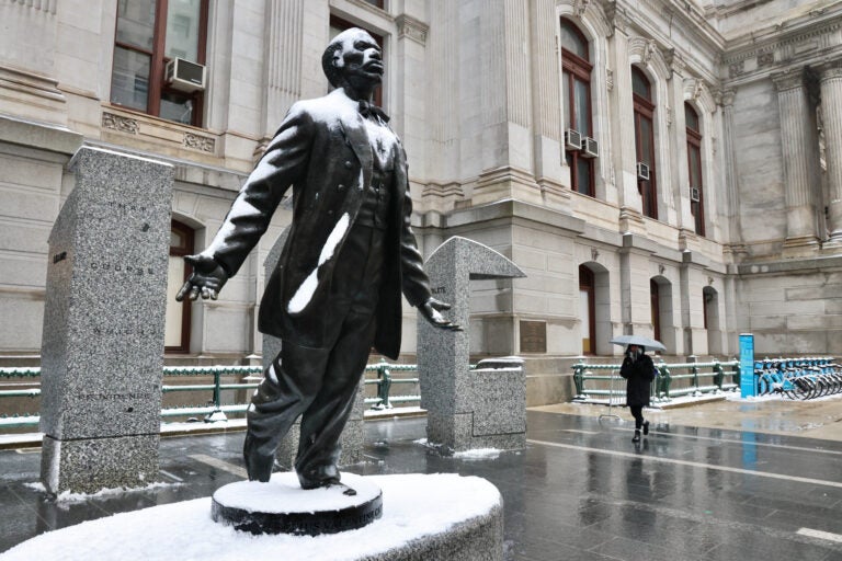
Octavius V. Catto was a civil rights leader in Philadelphia a century before the fight to end Jim Crow segregation laws. In 2017, a statue of Catto was unveiled on the south side of Philly City Hall, marking the city's first public monument of an African American. (Emma Lee/WHYY)
This story originally appeared on 6abc.
The first winter storm of the month will move in tonight and will likely have an impact on the Tuesday morning commute for a large part of the region.
MONDAY: Becoming cloudy. Rain developing by evening, moderate at times. High 50.
TUESDAY: An area of low pressure pulls out of the Gulf of Mexico with quite a bit of moisture. A coastal low develops and enhances the precipitation in the region while drawing in some colder air.
The Poconos and the Lehigh Valley will see the switch early tomorrow morning first. This trend will continue working its way to the southeast as the morning commute continues.
We expect a slow and difficult morning commute for the Lehigh Valley and far northwest suburbs where accumulating snow will reduce visibility and snow will accumulate on roadways. Allow for extra travel time early Tuesday.
In the city, it could be sloppy with rain changing to wet snow during the height of the morning commute. It will be coming down heavy enough at times to create slushy/wet roads.
In South Jersey and Delaware, rain will likely change to wet snow with less accumulation.
The biggest takeaway is that this system doesn’t linger for long. By midday, the system is exiting which means conditions will improve through the second half of the day.
Timing: When will the rain change to snow?
Lehigh Valley: Between 2 a.m. and 4 a.m. Expect snow-covered roads.
Delaware Valley: Between 6 a.m. and 8 a.m. Expect slushy and wet roads.
South Jersey and northern Del.: Between 8 a.m. and 9 a.m. Expect mostly wet roads.
Snow totals: How much to expect in Pa., N.J. and Del.
Poconos: 6″ to 10″
Lehigh Valley and far NW suburbs: 3″ to 6″
Philadelphia and suburbs: I-95 corridor: 1″ to 3″
Interior South Jersey and northern Del.: Coating to 1″
The precipitation ends around midday or early afternoon with some breaks in the clouds. High: 43
WEDNESDAY (VALENTINE’S DAY): Mostly sunny, blustery and chilly. High 40.
THURSDAY: Sun and clouds, seasonable. High 43.
FRIDAY: Mostly sunny and breezy. High 44.
SATURDAY: Cloudy skies with some morning snow showers possible, chilly. High 41.
SUNDAY: It’s bright and chilly. High 42.

Get daily updates from WHYY News!
WHYY is your source for fact-based, in-depth journalism and information. As a nonprofit organization, we rely on financial support from readers like you. Please give today.

