Severe storms generated ‘meteotsunami’ as they moved off N.J.
The service says the tsunami was registered by air pressure sensors and tidal gauge readings in and near the coastal waters.

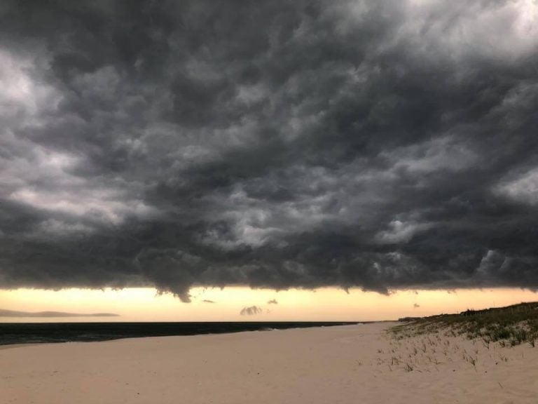
A file photo of clouds associated with a severe thunderstorm passing over the Atlantic Ocean as seen from Seaside Park. (Ben Currie)
A line of severe thunderstorms that barreled through the region early Tuesday evening triggered a weather-generated tsunami, or meteotsunami, as it moved over the ocean, forecasters said.
The National Weather Service office in Mount Holly, New Jersey said in a statement that this type of tsunami is generated by “abrupt changes of atmospheric pressure in the causative storm system, which is a line of thunderstorms that moved over the ocean in this case.”
“The combination of the air pressure effect on the ocean surface and the speed at which the pressure disturbance travels can generate tsunami like waves in certain situations,” the bulletin stated.
The National Tsunami Warning Center is monitoring this event.
The Weather Service said the tsunami was registered by air pressure sensors and tidal gauge readings in and near the coastal waters.
“Water level fluctuations of several inches to one foot above normal astronomical tide in localized areas can be expected along the oceanfront, inlets, and back bays for the next several hours as a series of surges make their way to the coast,” the bulletin states. “The duration of this event is uncertain, though similar events have lasted from several hours to one day.”
The service said not to return to the water until at least Wednesday morning.
In June 2013, a meteotsunami impacted the Barnegat Inlet, shocking an experienced fisherman and washing two people off the Barnegat Light jetty. Read the JSHN report here.
It also happened in 2015.
WHYY is your source for fact-based, in-depth journalism and information. As a nonprofit organization, we rely on financial support from readers like you. Please give today.


