Storm expected to bring snow starting Sunday for the Philadelphia region, but impact still unclear
The system could bring some snow to our area midday Sunday and last into Monday. Models are still in dispute about how much of an impact this storm could have.

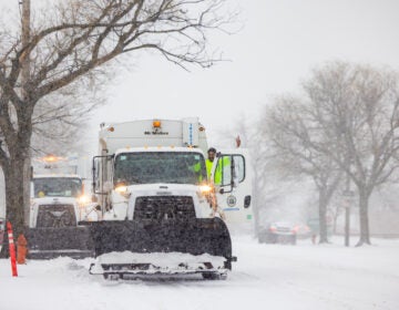
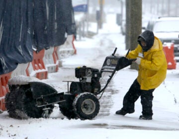
Philadelphia was dealing with snowfall on Sunday as a winter storm gradually exited the region on Dec. 14, 2025. (Cory Sharber/WHYY)
This story originally appeared on 6abc
A weekend storm threat is looming for parts of the Philadelphia region.
The system could bring some snow to our area midday Sunday and last into Monday.
Models are still in dispute about how much of an impact this storm could have.
Here’s what we know so far:
As temperatures drop, precipitation will changeover to snow for all areas by Sunday evening.
Light precipitation is expected to begin Sunday morning. Areas northwest of the city will likely begin as light snow showers. With ground temperatures above freezing and temperatures in the mid 30s, snow will likely initially melt as it hits the ground.
A mix of rain and snow is expected around Philadelphia with rain showers for areas south and east.
The high temperature Sunday is forecast to reach about 39 degrees, but temperatures are expected to fall late in the day. As temperatures drop later in the evening any rain or mixed precipitation will change to snow for all.
Drivers are urged to use caution and consider staying off the roads from Sunday evening through Monday morning as snow continues and snowfall rates pick up.
By Monday morning snow will begin tapering off west to east as the coastal storm continues to strengthen and move away from the coast.
This will be a heavy wet snow, so those with health conditions should use caution if trying to remove snow.
Forecast models continue to differ on the intensity and track of the storm.
Some models, including the Euro, suggest the storm system will be weaker and head more out to sea.
Under that scenario, we area would still pick up several inches of snow with the highest snow fall totals favored for Southern Delaware and South Jersey.
However another model, the GFS, tracks the storm very close to the coast suggesting a significantly heavier snowfall, potentially exceeding a foot in parts of the region.
This is a developing story. Please check back for updates.
WHYY is your source for fact-based, in-depth journalism and information. As a nonprofit organization, we rely on financial support from readers like you. Please give today.

