New parks, better housing and safer streets part of ideas to improve conditions along Delaware’s Route 9 corridor
Community members and planners envision a safer, greener Route 9 corridor with new parks, housing and connections to heal decades of neglect.
What are journalists missing from the state of Delaware? What would you most like WHYY News to cover? Let us know.
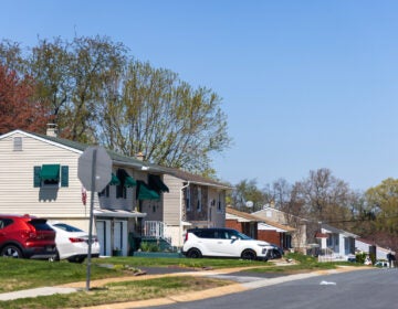
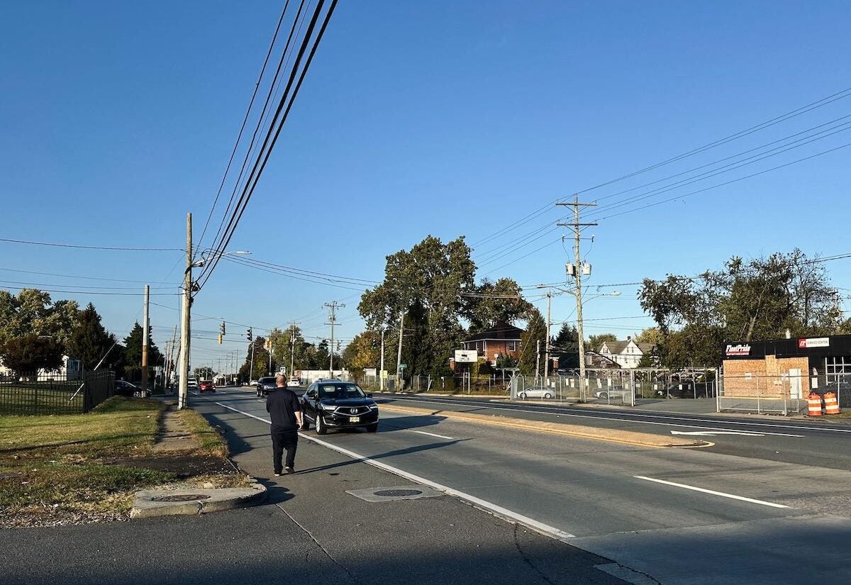
Stretching from Rogers Road to Memorial Drive, the Route 9 corridor near New Castle is home to roughly 16,500 residents spread across a dozen neighborhoods that line both the east and west sides of the highway. On any given day, a large number of tractor-trailers, many heading to or from the Port of Wilmington, rumble past modest homes, churches, corner stores and clusters of children waiting for school buses near the edge of the road.
The corridor has long been described as a place full of pride and history — a haven for Black families displaced from Wilmington in the 1960s who sought stability, first homes and opportunity. Yet, decades of industrial zoning, flooding and disinvestment have left visible scars.
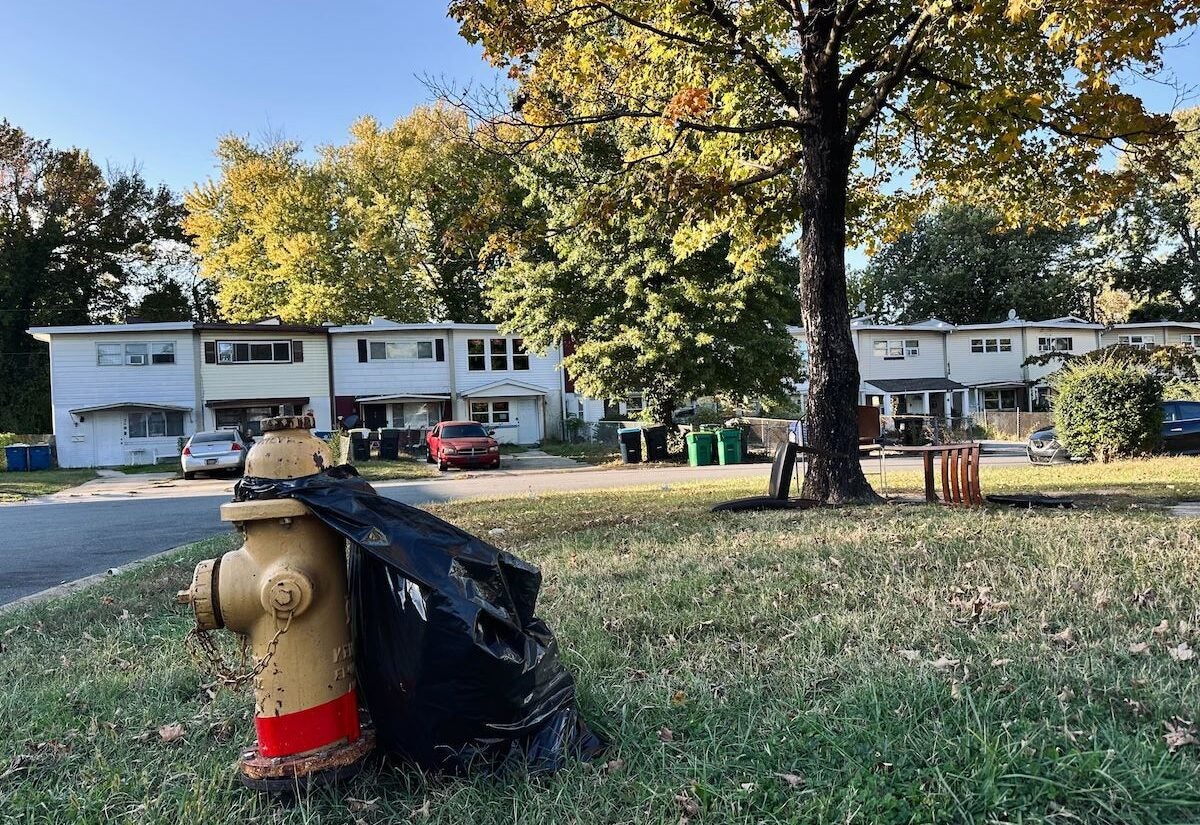
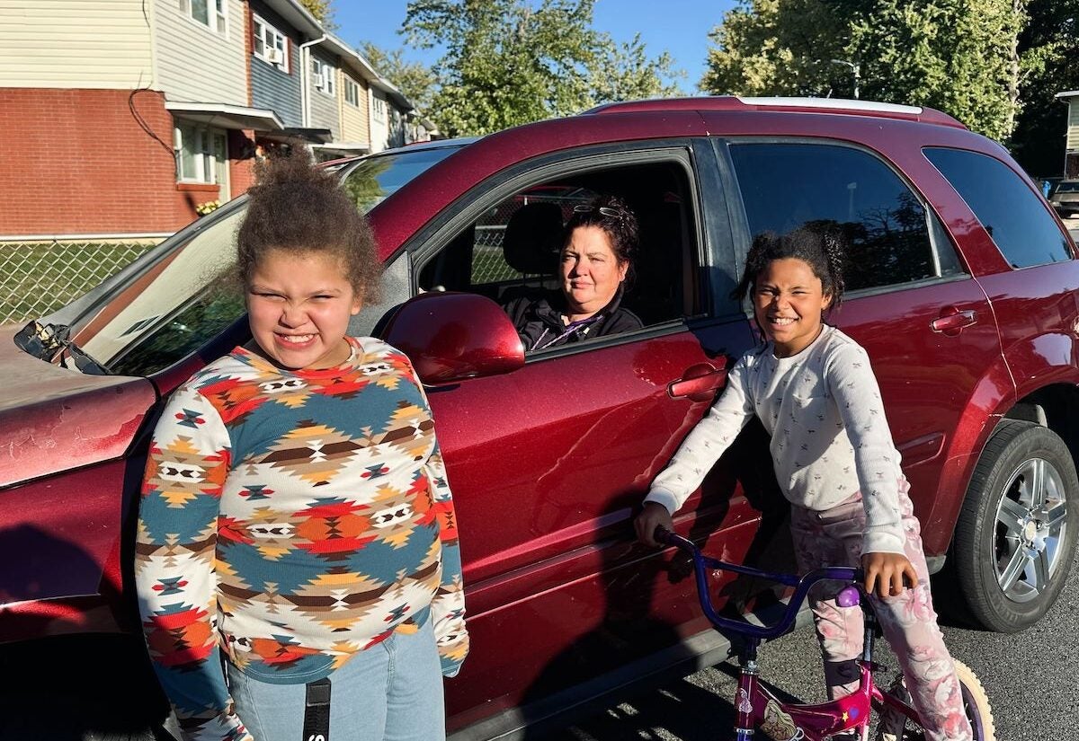
Annette Lyn has lived in the Rosegate community in the Route 9 corridor for about 10 years. She describes her neighborhood as youthful — filled with children riding bikes and playing ball outside. Yet, she says, the good moments don’t always outweigh the bad.
“The bad times weigh out more of the good times. I try to keep my grandkids, ‘cause they live with me, indoors, but you can’t always keep them indoors, which is part of the lacking,” she said. “They need a playground. They have one, but it’s in a bad spot and maybe they need to upgrade it.”
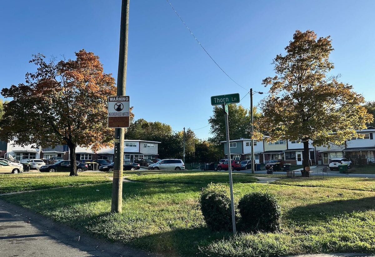
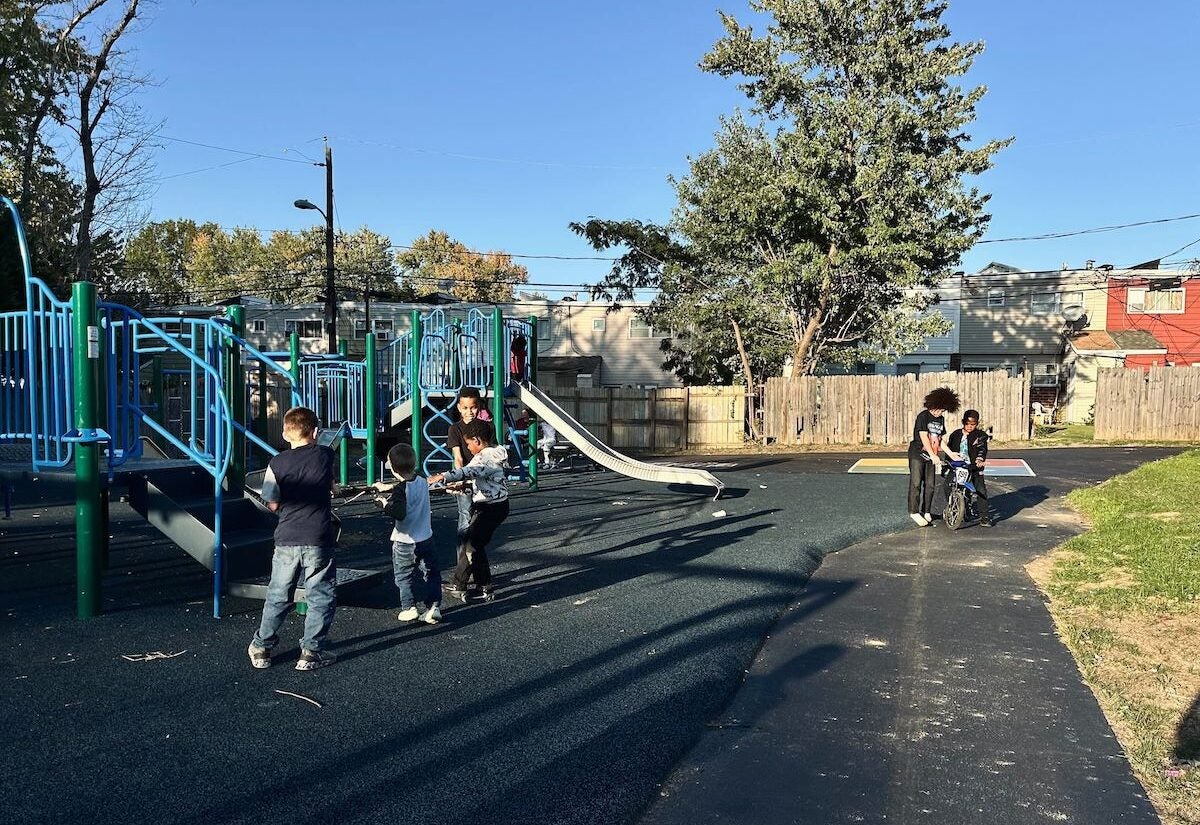
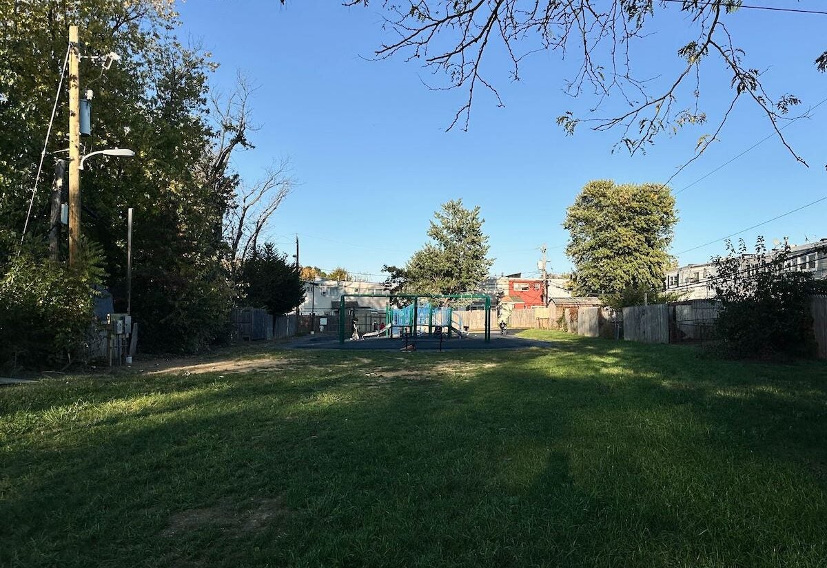
She points to Rosegate Park in her neighborhood — a space she says could be a haven for kids but instead feels neglected. Right across the street from her home, there’s another small park neighbors call “the circle,” where several children wait each morning for the bus. To her, it’s a symbol of what’s missing.
“They need benches for the kids like when they wait for buses or even just to sit out in the circle or even a picnic table,” she said. “It lacks trash cans. I’m not saying have a whole bunch, maybe one or two.”
Lyn says things have changed, but slowly.
“It’s gone from worse to bad. It’s not as bad, but it’s still bad,” Lyn said.
Her experiences reflect a broader pattern across the corridor — neighborhoods filled with pride, but strained by long-standing environmental and infrastructural inequities. For community leaders, residents like Lyn represent both the urgency and the reason for change.
A framework for the future of Route 9
For more than a decade, the Route 9 Community Development Corporation, once known as the New Castle Prevention Coalition, has been working to improve the quality of life across 12 neighborhoods along the corridor.
This year, the CDC sought to gather more detailed information about the corridor’s challenges and opportunities. Partnering with the University of Delaware’s Coastal Resilience Design Studio, they released a 147-slide report titled “Neighborhoods of Nice Green Connections Framework.”
The report identified several key areas for focus — including the Rosegate community, Tri-Parks, Simons Garden Park, the Rose Hill Community Center, the Route 9 Library parcel and Holloway Terrace Park — where environmental challenges, flooding and disconnection were most severe.
From that analysis, the UD team developed three major projects:
- Project A: Revitalizing Simons Garden Park and Rosegate Neighborhood Park
- Project B: Upgrading Tri-Parks and the Route 9 and Lambson Lane intersection with a proposed pedestrian bridge and expanding the Rose Hill Community Center
- Project C: Enhancing the Route 9 Library campus with walking trails, an amphitheater and affordable housing
The research explored the corridor through four key lenses — transportation, land cover and vegetation, flooding and storm water, and community character — highlighting how decades of underinvestment and industrial development have shaped life along Route 9.
The framework project stemmed from the organization’s desire to put data behind what residents had long been saying — that the corridor faces health, flooding and access challenges.
“There’s lots of green space that happens to be underutilized. Some of the bad things were surrounded by industrial players,” said Kasey Cosden, executive director of administration for the Route 9 CDC. “Things that were developed and or built with what seems like no forethought of community health and how that could be developed in the future to support the people that live there.”
The framework didn’t just outline problems, but it also proposed three project areas designed to improve connectivity, recreation and safety along the corridor.
“It’s a project that with the correct investment and also the correct partnership, it will improve the standards of living in the area,” Cosden said. “And then on top of that, in improving the standards of living, it will resolve some of the inequities that we face.”
Designing for the people
Zach Hammaker, director of the Coastal Resilience Design Studio, said one of the team’s goals was to recreate Route 9 as a pro-people corridor rather than one built solely for vehicles.
“Making the corridor more active for pedestrians and bike-friendly, sort of taking a little bit more of a pro-people approach instead of a pro-vehicular approach,” he said. “Starting to consider mixed-used, getting retail and food access for those communities rather than it always being that you have to drive out of the community.”
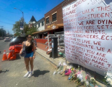
Through field visits and analysis, Hammaker’s team found that many fatal accidents involved pedestrians. One of their recommendations was to build a pedestrian bridge at the Route 9 and Lanson Lane intersection, a project that could connect both east and west neighborhoods and improve safety.
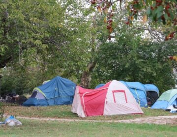
The team also identified Holloway Terrace Park and the area behind the Route 9 Library as key flooding zones. During one visit, the team observed stormwater pooling after a light rainstorm.
“The reason why that area floods … there’s broken infrastructure causing erosion and challenges related to stormwater flow,” Hammaker said. “We were recommending creating kind of a green corridor from the vacant parcel behind the new library down to Holloway Terrace Park.”
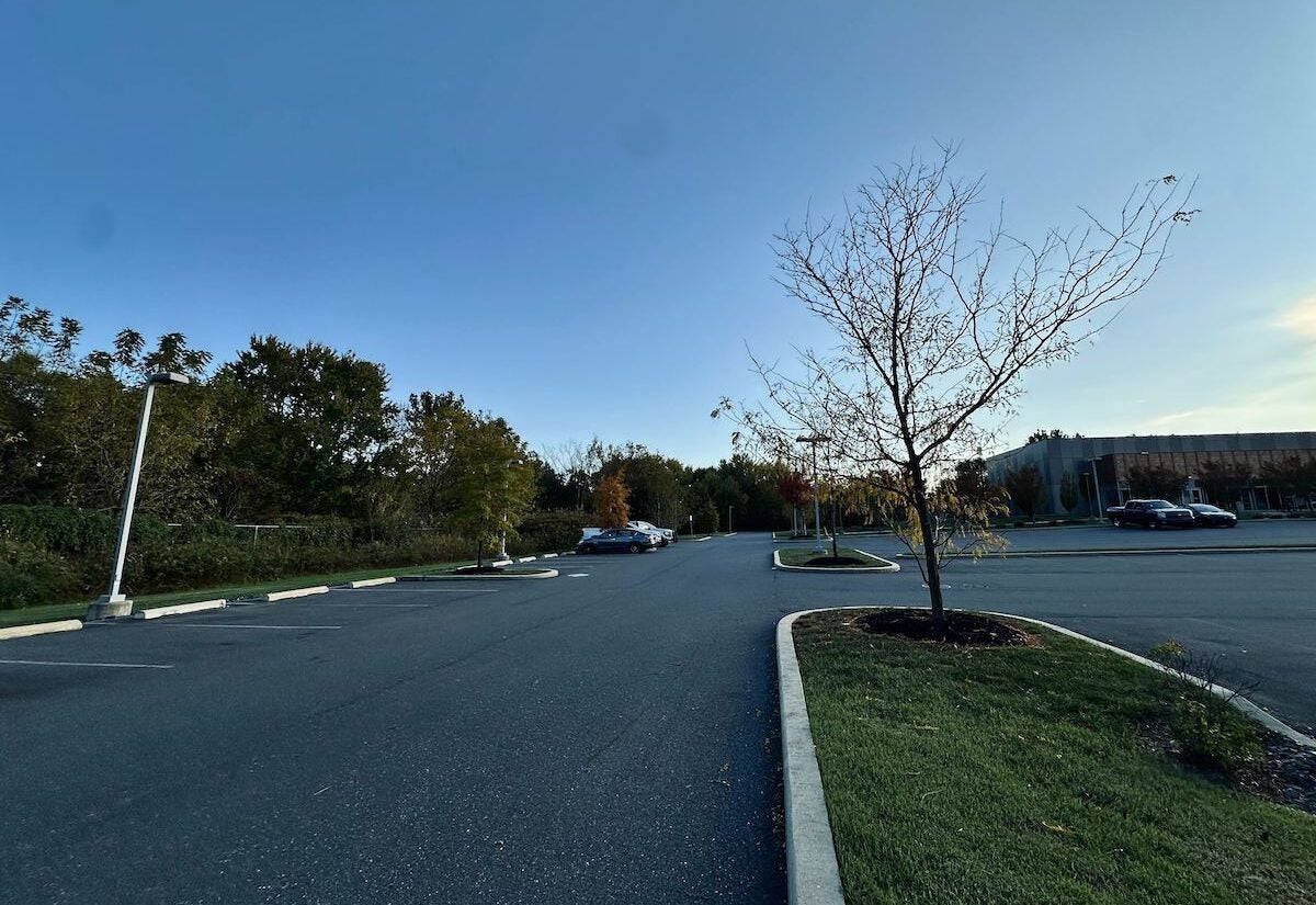
At that vacant parcel, Hammaker said there are invasive species, but with the right investment, the land could be transformed into a vibrant green space for residents.
“We were increasing a green corridor that would be used for both outdoor activities, programming, health and fitness,” he said. “As well as increased ecology and environmental like plantings and vegetation that would allow that stormwater to be kind of processed and filtered and absorb it during major storms.”
For Cosden, this part of the framework stood out as one of her favorites — turning a neglected space into a hub for recreation, housing and environmental restoration.
“It was in Project Area C, which is the design and development of the area back behind the library,” she said. “That design line incorporates key issues — addressing stormwater management, additional park space, mixed use and development of affordable housing, and overall just connecting parts of the corridor that hadn’t been connected before, especially for those who live in Holloway Terrace.”
Hammaker said nature-based solutions could play a transformative role in improving both environmental resilience and quality of life.
“Instead of just looking at a detention basin that’s maybe mown once a week, it’s adding increased vegetation,” he said. “They not only hold and direct water, but also filter and absorb runoff. Adding paths, seating areas or places that people can explore and see nature — those have really good positive benefits for communities.”
The team also focused on the Rosegate community, where residents like Lyn live, to help reimagine open spaces that currently go underused.
“So they were looking and working with Rosegate community members as well as the Route 9 CDC to kind of create small pocket parks for different amenities and things that the community might want and need,” Hammaker said.
A hopeful path forward
For the Route 9 CDC, the framework is more than just data — it’s a tool to advocate for change and validate what residents have been saying for years: safety, investment and better parks and greenery are long overdue.
“I would be hopeful if they actually put it in action,” Lyn said. “I pray too for the future of our children, and just because they’re living in lower-income areas, they shouldn’t have to look like they’re low-income.”
Next, the Route 9 CDC plans to present the framework to other leaders in the county, continuing conversations around how to turn these ideas into tangible progress.
Cosden said the goal is to build partnerships strong enough to move at least some of the study’s recommendations forward — whether through park revitalizations, housing developments or safer pedestrian connections.

Get daily updates from WHYY News!
WHYY is your source for fact-based, in-depth journalism and information. As a nonprofit organization, we rely on financial support from readers like you. Please give today.
