‘We are really concerned’: Salty water creeps toward Philly drinking water intake as dry conditions persist
The Delaware River Basin Commission has a plan for situations like this, and could step up its efforts to repel the salt front if conditions worsen.
Have a question about Philly’s neighborhoods or the systems that shape them? PlanPhilly reporters want to hear from you! Ask us a question or send us a story idea you think we should cover.
If the drought conditions gripping a record swath of the U.S. worsen, officials in the Philadelphia region may need to take steps to protect the city’s drinking water.
Dry conditions in the Philly region have caused the salt front — or the area of the Delaware River where water becomes too salty to drink — to creep north toward the intake where Philadelphia draws most of its drinking water.
“There’s not an issue yet, but that doesn’t mean that there won’t be an issue,” said Amy Shallcross, manager of Water Resource Operations at the Delaware River Basin Commission. “We are really concerned.”
The largest of Philly’s three drinking water intakes draws water from a tidal portion of the Delaware River in the far Northeast section of Philadelphia, where fresh water flowing down the river mixes with salty water from the Delaware Bay. At a certain point in this salinity gradient, the concentration of chloride could exceed an EPA guideline for how salty drinking water should be. This salt front moves based on factors including upstream rainfall, the tide cycle and, increasingly, sea level rise.
Dry conditions can cause the salt front to move northward because less fresh water is falling as rain and flowing into the river through creeks and streams. Officials with the Delaware River Basin Commission (DRBC), a regional body that manages the river system across state lines, can counteract this by requesting freshwater be released from upstream reservoirs to push the salt front back downstream. Even in non-drought times, reservoirs release water into the river as needed to meet targets for the amount of water flow at specific points.
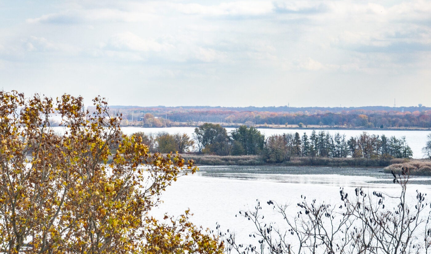
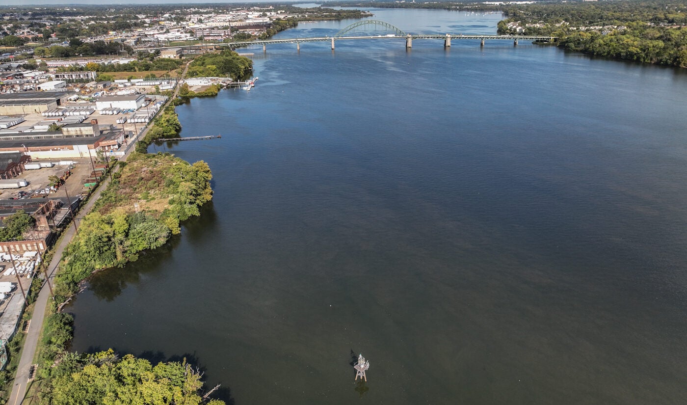
As of Friday, the salt front was around 17 miles north of where it usually sits at this time of year and just around 23 miles away from the Philadelphia Water Department’s Baxter intake in Torresdale — the closest it’s been in 8 years. Drinking water utilities in New Jersey and industrial facilities also draw water from the river.
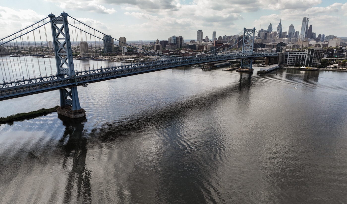
The salt front normally sits around the Delaware Memorial Bridge, which links New Castle County, Delaware, with Salem County, New Jersey. But that saltier water is now approaching the Philadelphia International Airport. The salt front has reached as far upstream as the airport just five times since the DRBC began tracking it in the 1960s, most recently in 2016. The salt front reached its highest point in 1964 during the river basin’s “drought of record,” when it crept north of the Ben Franklin Bridge, just 8 miles from the city’s Baxter drinking water intake.
Much of the Philadelphia region experienced a record-dry October. The Pennsylvania Department of Environmental Protection is encouraging residents to reduce their water use, as are officials in Delaware and New Jersey.
If dry conditions worsen, the Delaware River Basin Commission, which is made up of the governors of Delaware, New Jersey, New York and Pennsylvania, as well as a representative of the federal government, can step up its efforts to conserve water in the basin and prepare to repel the salt front from drinking water intakes. This could include issuing a water supply emergency. A virtual public hearing on this is scheduled for Nov. 19.
When reservoirs dip below certain levels or, in some cases, when the DRBC issues a water supply emergency, the commission enters drought operations. Depending on the severity of the drought, this can trigger conservation actions such as New York City and New Jersey diverting less water from the river, conservation orders being issued, or river flow targets being reduced, meaning upstream reservoirs release less water.
If conditions worsen further and the salt front approaches Philly’s drinking water intake, reservoirs could begin to release more water downstream. In certain situations the DRBC can get access to more upstream reservoirs for this purpose.
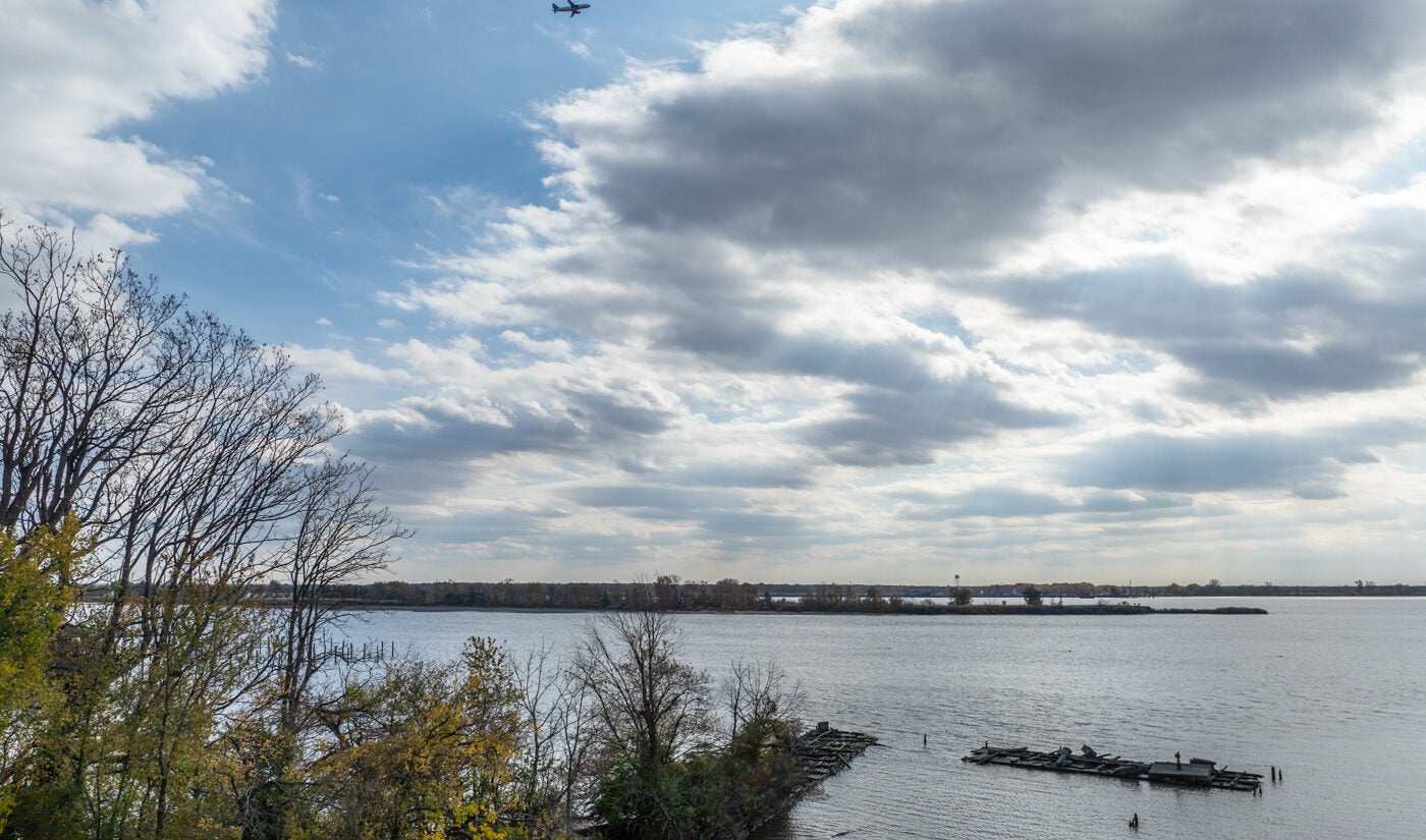
It’s a balancing act, because the same dry weather that allows the salt line to creep up the Delaware River can deplete the reservoirs upstream that are used to push it back down — and constrain other drinking water supplies.
“We want to balance preserving water for water supply and repelling salinity,” Shallcross said.
Last year, a chemical spill upstream of Philly’s Baxter intake revealed the vulnerabilities of the city’s drinking water system. The spill did not end up contaminating the Baxter treatment plant, which serves more than half of the Water Department’s two million customers, but an alert sent by the city caused residents to panic-buy bottled water. If the spill had reached the Baxter intake, the city would not have been able to replace the plant’s capacity with water from its two other water treatment plants, which draw water from the Schuylkill River, or with water from other nearby drinking water systems.
The Water Department does have a plan to build redundancy within its system, so it could rely solely on its Schuylkill River plants if the Delaware River intake were out of commission — for example, if the salt front reached it. But the improvement projects needed to achieve this level of resilience are years away.
Rain is possible this week, but experts expect it won’t be enough to reverse the deficit. November’s drought outlook from federal forecasters shows drought persisting in the Philadelphia region, but improving over a swath in the center of the country.
The last time the salt front approached the drinking water intakes was in 2016, when a prolonged dry spell depleted reservoir levels and prompted the Commission to declare a drought watch throughout the basin. The salt front reached river mile 90 — just a few miles upstream of its location Thursday — and just 20 miles shy of the drinking water intakes.
The good news is that this year, freshwater reserves available to counteract the salt front’s creep are fuller than they were in 2016, Shallcross said.
“We’re in better shape,” she said.
But Shallcross said it’s too soon to know how severe this year’s drought will get and how difficult it will be to keep the salt front away from drinking water intakes.
“It depends on things that we can’t predict,” she said.

Subscribe to PlanPhilly
WHYY is your source for fact-based, in-depth journalism and information. As a nonprofit organization, we rely on financial support from readers like you. Please give today.


