Tour explores history of hidden Northwest Philadelphia waterway
When you’re driving along a curving street in Northwest Philadelphia, what does that bend imply about what lies beneath your wheels? When a raindrop falls on East Mt. Airy Avenue and runs into a gutter, where does that drop end up? Why did elephants once march down Chelten Avenue to Magnolia Street at regular intervals during the late 19th century?
The answers to those questions and more were revealed to a group of ten residents who recently took a bus tour of the historic Wingohocking Watershed offered by Mt. Airy Learning Tree.
Drew Brown, an environmental engineer and manager of public education programs for the Philadelphia Water Department, and Adam Levine, historical consultant to the PWD, gave a below-the-ground look at how the waters that once flowed through East Mt. Airy and Germantown have shaped the history of our current man-made landscape.
An underground waterway
If you’re unfamiliar with the Wingohocking Creek it’s not surprising, said Brown. Unlike the Wissahickon Creek, the “Wingohocking Creek has ceased to exist, at least above ground.” Almost all of the stream is now encased in brick walls and become part of an intricate network of sewers that drain the area.
The project to enclose the creek was a big one. It began in 1879 and lasted almost 50 years, finishing in 1928.
The tour started at the Mt. Airy Learning Tree office at Greene and Hortter streets in West Mt. Airy, but spent almost no time on the west side of Germantown Avenue. Upon leaving, the bus immediately climbed Upsal Street towards the Avenue.
“We’re leaving the Monoshone watershed and entering the Wingohocking,” said Brown on Saturday as the bus reached its destination.
A watershed is the area drained by a stream or river; the high ground along Germantown Avenue separates the area drained by Monoshone and Wissahickon creeks from that drained by the Wingohocking.
The next stop was at Mt. Pleasant Avenue and Sprague Street, near the highest source of the West Branch of the Wingohocking. (The two branches of the creek are separated by the high ground along Stenton Avenue and eventually meet at what’s now the intersection of Belfield and Ogontz avenues).
Near the present Sedgwick Station on the Chestnut Hill East regional rail line, the water from several streams once came together to form the headwaters of the creek’s West Branch. As he pointed to the tracks, Brown said that the tour would have the railroad on one side or another as it went along.
“The area along streams was not suitable for houses because it would flood,” he said. In the 18th and 19th centuries, “streams and flood plains were the only open ground in many places.” Thus, when the rail line was built, it followed the stream bed because there were no built-up areas to be bypassed or demolished.
A watering hole for elephants
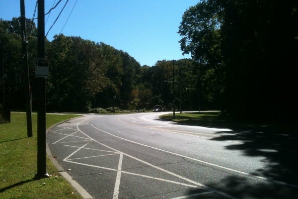
The city’s streets follow a gridiron pattern whenever possible, but, as Levine pointed out, “Nothing in nature is rectangular.” Thus, a curving road such as Sprague Street near Sedgwick Station is following the course of a stream. The Wingohocking Creek is still there, he said, but it’s now about 15 feet underground. Mansfield Avenue on the other side of Stenton Avenue does the same thing: “It follows the East Branch,” said Levine. “On a map you can see it’s a meandering street.”
After stops at Cliveden Park to examine a rain garden – part of the city’s Green City, Clean Waters initiative to reduce runoff – and Awbury Arboretum -where a spring feeds a one of the last above-ground tributaries of the Wingohocking -the tour paused at Chelten Avenue and Magnolia Street in Germantown.
The intersection was once home to the Scatchard’s Mill textile factory, once one of dozens of factories located along the creek. Factories, particularly the textile plants which once filled Germantown, are another way to follow the course of former streams because the building’s required lots of water for the cleaning, washing and dyeing of their products, as well as a way to dispose of waste water.
Magnolia Street is now dry land, but once was the site of a pond called Kelly’s Dam, said Brown, adding that “dam” was once a term used for both ponds and the dams that created them.
The water it held was once used by the factory, but for a time was used in another way that nobody would expect for the middle of Germantown.
A large circus was once headquartered in an area around Chew and Chelten avenues. “They had elephants,” said Brown. ” The elephants were paraded down Chelten Avenue to drink from the pond.”
Flooding and the “Logan Triangle”
As the tour went along Belfield Avenue to La Salle University, it continued to follow the course of the Wingohocking’s West Branch.
Passing the intersection of Ogontz and Belfield avenues where the creek’s two branches meet, the tour stopped for a look at the notorious “Logan Triangle” at 10th and Courtland streets. The intersection underscored just how important drainage issues have been in the growth of the city.
The low-lying area was prone to flooding for many years. Though a sewer later helped that problem, Brown and Levine noted in the guidebook handed out for the tour that ” before the area could be developed, the deep valley needed to be filled in. The landowner filled the valley with unstable coal ash, in some places more than 40 feet deep. Over the years, ash settled or washed away from many buildings. Nearly 1,000 buildings have been demolished in the so-called Logan Triangle.”
Finally, tourgoers got a look at the final destination of a drop of water that enters a storm sewer way back in Mt. Airy.
It’s in Juniata Park, where a huge tunnel measuring 24-feet across and 21-feet high disgorges the stormwater runoff of the Wingohocking as it meets the waters of the Tookany/Tacony Creek, which begins in Montgomery County. (It’s called Tookany Creek in Montgomery County and Tacony Creek in Philadelphia, but, said Brown, “It’s just two different interpretations of the same Native American name.”)
The two creeks join to form Frankford Creek, which flows into the Delaware River.
For more information about the history of the city’s waterways, visit Levine’s website, www.phillyh2o.org.
WHYY is your source for fact-based, in-depth journalism and information. As a nonprofit organization, we rely on financial support from readers like you. Please give today.


