Strong to severe thunderstorms possible at the Jersey Shore tonight
-

-

-

-

-
-

-

-

-
-

-

-

-

-

-
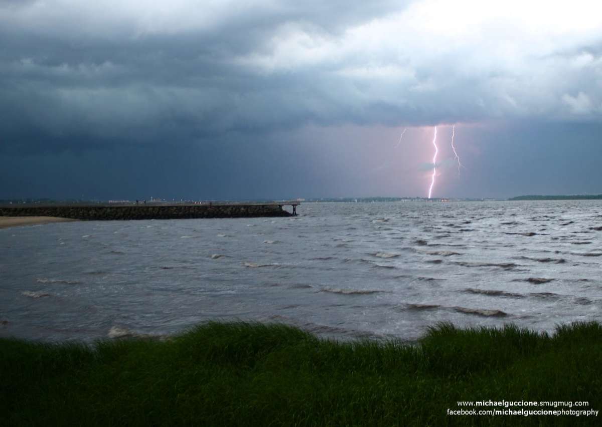
A thunderstorm over Laurence Harbor in early July 2014 by Michael Guccione Photography.
-
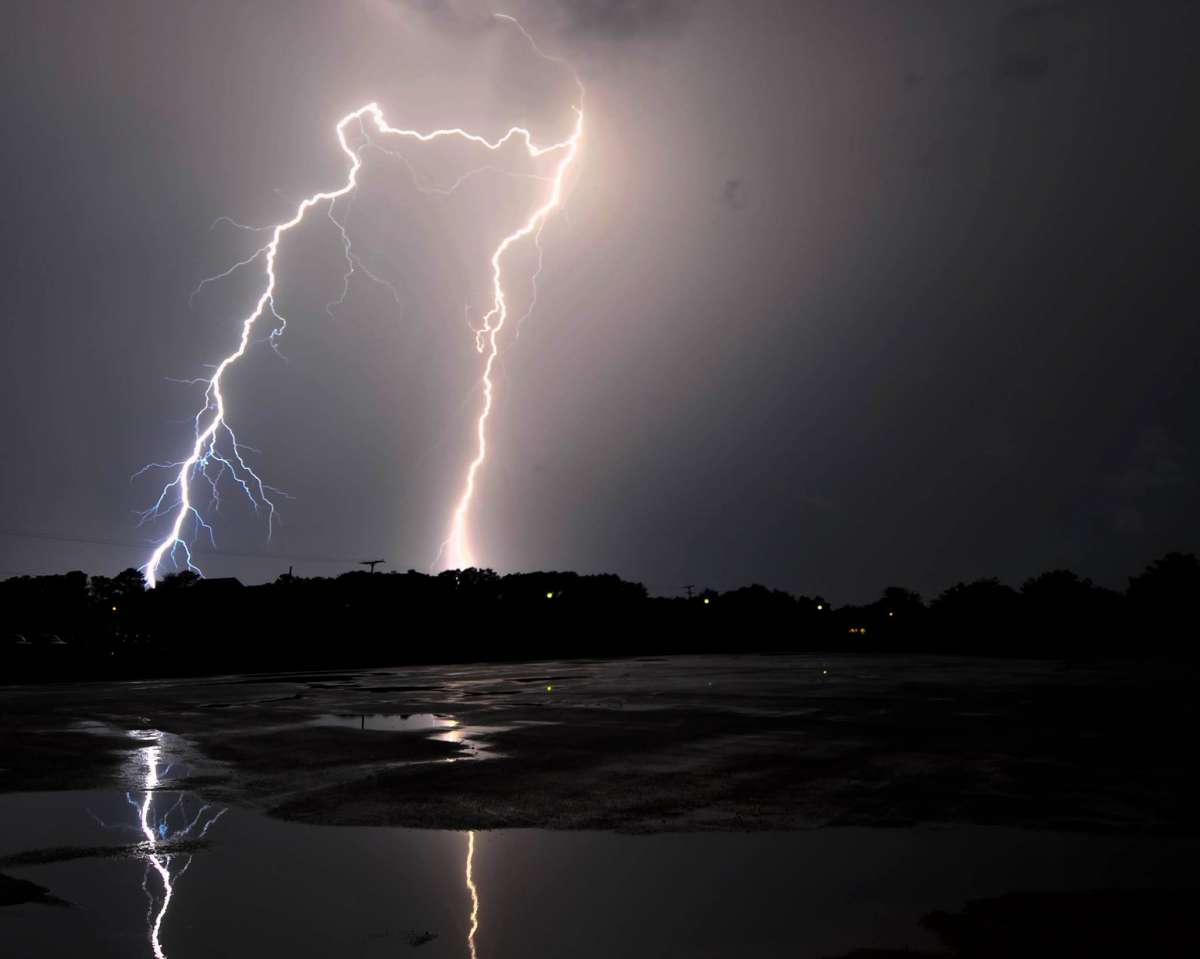
(Photo: Shelter Cove
-
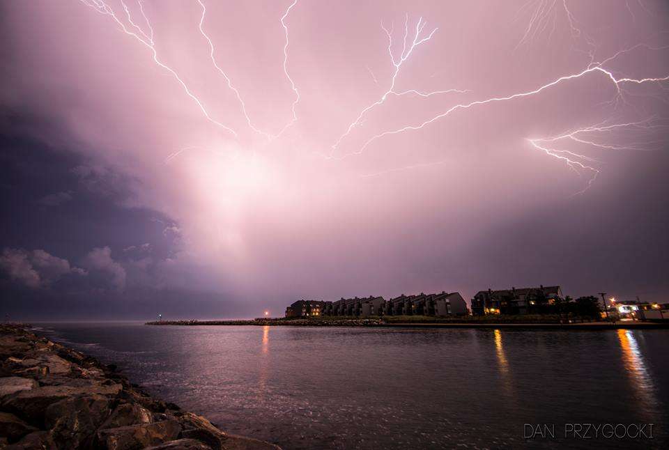
Manasquan Inlet on July 2 by Dan Przygocki Photography.
-
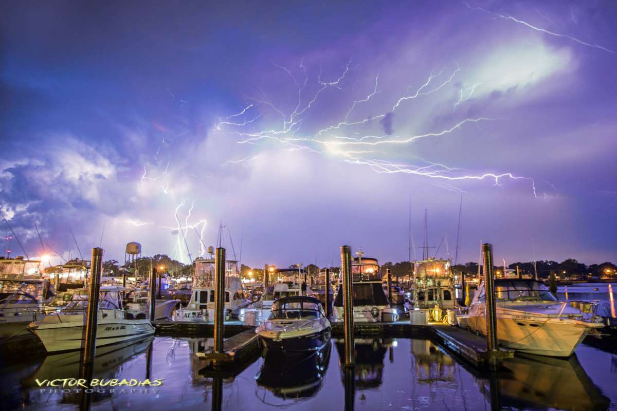
Lightning over the Belmar Marina in early July 2014. (Photo: Victor Bubadias Photography)
The combination of a cold front and a low pressure system moving through New Jersey might spark strong to severe thunderstorms Tuesday night into early Wednesday morning, forecasters say.
Atmospheric conditions are ripe for thunderstorm activity, says John Homenuk, lead forecaster at New York Metro Weather.
Southerly winds ahead of a frontal boundary will “lead to moisture return and developing instability,” he says, adding that favorable winds and bulk shear will “juxtapose with the developing instability to support the potential for severe weather.”
The primary hazard is gusty winds, according to the National Weather Service.
But there are a few factors that could mitigate the risk of thunderstorm development, including the timing of the frontal passage, the potential for weakened instability ahead of the main front, and the narrow corridor of potential, meaning that the severe event — if it occurs — could be localized, according to Homenuk.
“At this time, the most likely outcome features scattered thunderstorms producing some isolated strong wind gusts. However, if instability forecasts are correct and pre-frontal convection does not develop, the potential for more organized severe thunderstorms capable of producing isolated tornadoes (2% chance) will exist,” the forecaster said.
WHYY is your source for fact-based, in-depth journalism and information. As a nonprofit organization, we rely on financial support from readers like you. Please give today.

