Philadelphia region braces for second round of storms bringing rain, flooding and strong winds
The region is expected to face another round of strong wind and rain, as well as tidal flooding.

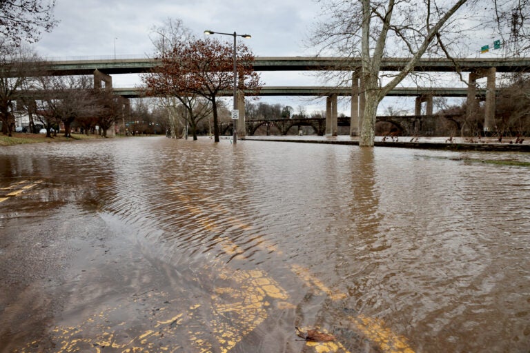
The Schuylkill River flooded Kelly Drive on Jan. 10, 2024, following a strong storm the night before. (Emma Lee/WHYY)
From Philly and the Pa. suburbs to South Jersey and Delaware, what would you like WHYY News to cover? Let us know!
The Philadelphia region is preparing for a second round of storms — bringing more flooding and strong winds beginning Friday night through Saturday morning.
The forecast comes as the Delaware Valley recovers from a powerful storm Tuesday night, which dumped several inches of rain throughout the region, combined with high winds.
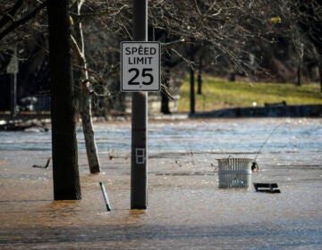
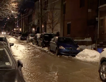
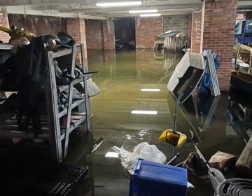
Tuesday’s storm resulted in major power outages, as well as flooded rivers that caused several road closures. Emergency responders rescued more than two dozen residents from rising waters.
On Friday night, the Philadelphia region could get up to an inch of rain, which is expected to clear by daybreak Saturday. The highest amount of rain is forecasted for northern New Jersey, which could get hit with 1.5 inches.
National Weather Service meteorologist Eric Hoeflich expects less rain than Tuesday night’s storm, but says it will come down faster, and in more targeted areas.
A flood watch is in effect for the Philadelphia metro area, northern Delaware, and much of New Jersey.
A major concern is tidal river flooding, particularly along the Delaware River from Mercer County in New Jersey, to Delaware County in Pennsylvania, said Hoeflich. A coastal flood warning is in effect from Friday evening through Saturday evening for these tidal areas.
Flooding is expected to persist through the Saturday afternoon high tide because of additional freshwater runoff and southwest winds. Hoeflich said the impacts could be compounded by the most recent storm.
“Our ground is so saturated [from Tuesday’s storm] that everything’s just going to run off into our creeks and streams,” he said.
There could also be minor flooding along the coast, in areas such as Cape May, New Jersey, and Lewes, Delaware.
The storm also will carry heavy winds between 40 and 50 miles per hour, he said.
“With such saturated ground, it’s not going to take much to blow some trees over, Hoeflich said. “We could see downed trees, widespread power outages.”
Philadelphia’s Office of Emergency Management is urging drivers to slow down and keep a distance from other cars on the road. The agency also advises residents to secure loose outdoor items or bring them inside.

Get daily updates from WHYY News!
WHYY is your source for fact-based, in-depth journalism and information. As a nonprofit organization, we rely on financial support from readers like you. Please give today.


