The surprising tie between global warming and heavy snow in the Philly region
Winter is still the fastest-warming season on the East Coast. “You're always going to see variable weather patterns,” one expert said.
Listen 0:52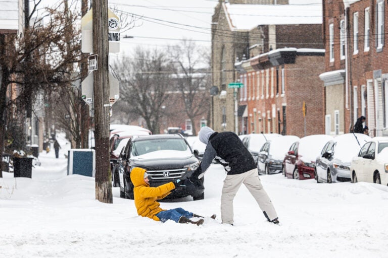
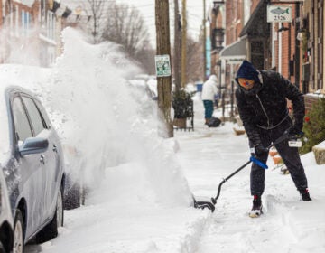
A resident gets a hand out of the snow in Philadelphia’s Fishtown neighborhood on Jan. 25, 2026. (Kimberly Paynter/WHYY)
This story is part of the WHYY News Climate Desk, bringing you news and solutions for our changing region.
From the Poconos to the Jersey Shore to the mouth of the Delaware Bay, what do you want to know about climate change? What would you like us to cover? Get in touch.
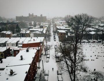
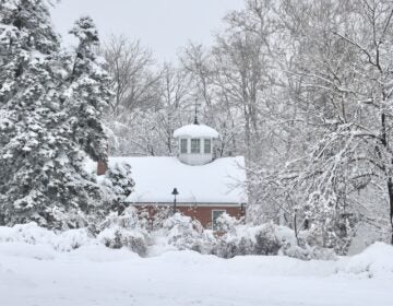
The winter storm dumped over 9 inches of snow on Philadelphia this weekend — the most measured during a single storm in 10 years — and temperatures are expected to dip to the single digits Monday night.
This frigid weather makes it easy to forget that winter is the fastest-warming season on the East Coast.
“Global warming has not stopped,” said Mark Serreze, director of the National Snow and Ice Data Center at the University of Colorado Boulder. “You’re always going to see variable weather patterns, and that’s what we’ve got right now.”
Climate change is causing cold snaps to become more rare, said Matt Barlow, a professor of climate science at the University of Massachusetts Lowell.
“But that doesn’t mean there are none of them,” Barlow said. “Just because we’re getting fewer of them doesn’t mean that we’re done with winter completely.”
In fact, it may seem like a paradox, but Barlow said that scientists think the biggest winter storms — like the one that hit a large swath of the U.S. this past weekend — are becoming more intense due to climate change.
A warmer atmosphere can hold more water, so that increases precipitation overall, Barlow said.
When conditions are right, snow is still possible. And in some cases, climate change can even drive heavier snowfall.
“There’s more water coming down,” he said. “If we also manage to get some old-fashioned cold, then you have the potential for more snow.”
“The upper limit on snow is higher, because you’ve increased the water side of it,” he added. “But you’re decreasing the temperature side, so getting that upper limit is harder.”
Barlow said scientists are trying to figure out whether climate change could also turbocharge the biggest winter storms indirectly by disrupting the circulation in the stratosphere.
“Sort of helping them stay cold — colder than they would otherwise be in a warming environment,” he said.
The combination of rare but intense winter weather events could mean communities are less prepared, Barlow said.
“In terms of … how familiar people are with these events and how much cities have reasonably budgeted for snowplows and snow removal and ice and all that, it hits differently,” he said. “If you’re unfamiliar with them, they hit harder.”
Serreze said in general, snowfall is becoming more rare because warmer winters mean more precipitation falls as rain.
“Overall, what you’re seeing is less snow, more rain,” he said.
So while this weekend’s storm may seem like the winters of decades past, the long-term trends still point to warming winters in this region.

Get daily updates from WHYY News!
WHYY is your source for fact-based, in-depth journalism and information. As a nonprofit organization, we rely on financial support from readers like you. Please give today.

