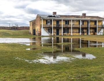
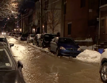
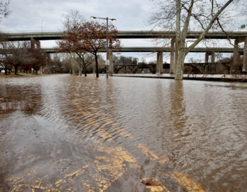
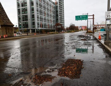
Winter storm to bring rain, sleet and snow to Philadelphia region
Rain and sleet are expected to create slushy conditions for early commuters before snow moves in by mid-morning.
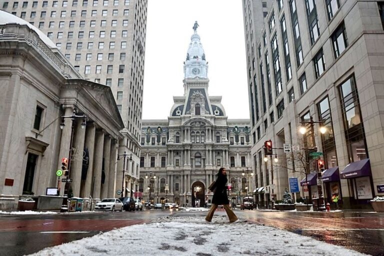
File: A mix of ice and snow makes travel treacherous in the Philadelphia area in January 2024. (Emma Lee/WHYY)
Tuesday morning’s commute could include many brake lights and a few headaches, as freezing rain and snow are forecast for the Philadelphia metro area.
The winter storm system will bring mostly rain to the southeast corridor of I-95, according to the National Weather Service. Philly will mostly see rain and sleet in the morning until snow enters the equation, with 1-2 inches expected.
“This is coming in during the morning commute, so there definitely could be slowdowns regardless if there’s rain or snow,” NWS Meteorologist Eric Hoeflich said. “But I think it’s going to be a mainly rain event. People should take extra time to commute … take some extra time because it’s going to be a little bit slow out there with some heavy rain and gusty winds.”
⚠️❄️🌧️ We have sent the final scheduled briefing update for the winter storm impacting the area tonight through Tues. Rain changing to snow from north to south early Tues morning will impact the morning commute near and NW of I-95. https://t.co/mMnIx09PUq #PAwx #NJwx #DEwx #MDwx pic.twitter.com/MEr79LNH68
— NWS Mount Holly (@NWS_MountHolly) February 12, 2024
School delays, closures
In Philadelphia, all school programs and activities are on a two-hour delay Tuesday. Other school districts in Pennsylvania, New Jersey, and Delaware have announced closures.
Up to a foot of snow possible in parts of New Jersey
Meanwhile, Gov. Phil Murphy said parts of Central and North Jersey could get as much as 12 inches of snow. Murphy said South Jersey would be “spared of any heavy snowfall.”
“We’re expecting the most intense range stretch of snowfall to start in the middle of the night and then run into the morning commute, maybe as late as 10 a.m.,” he said during a Monday news conference on storm preparedness. “So please, if you can, we suggest staying off the roads tomorrow morning, and if you can work from home, tomorrow is a good day to do just that.”
❄️ Snow is on the way! Rain will begin overnight across the state and switch to snow early tomorrow morning. Snow accumulation can be up to 13” in some northern areas. Be prepared if you must travel, especially during the morning commute when the snow will be at its heaviest. pic.twitter.com/9J5V01d5kt
— NJDOT (@NewJerseyDOT) February 12, 2024
Shore advisories
Minor to moderate coastal flooding is expected for both Delaware and New Jersey due to Tuesday’s high tide. Wind advisories and gale warnings are also in effect along both coasts, with peak high wind speeds near 50 miles per hour expected for Atlantic City and Cape May.
Code Blue in Philly
Philadelphia’s temperatures will range from a high of 41 degrees Fahrenheit to a low of around 28. Throughout the day, wind speeds are predicted to be between 5 and 25 miles per hour.
In response, Philadelphia’s Office of Homeless Services has declared a Code Blue opening additional shelter beds. If you see someone experiencing homelessness outside, call 215-232-1984.

Get daily updates from WHYY News!
WHYY is your source for fact-based, in-depth journalism and information. As a nonprofit organization, we rely on financial support from readers like you. Please give today.


