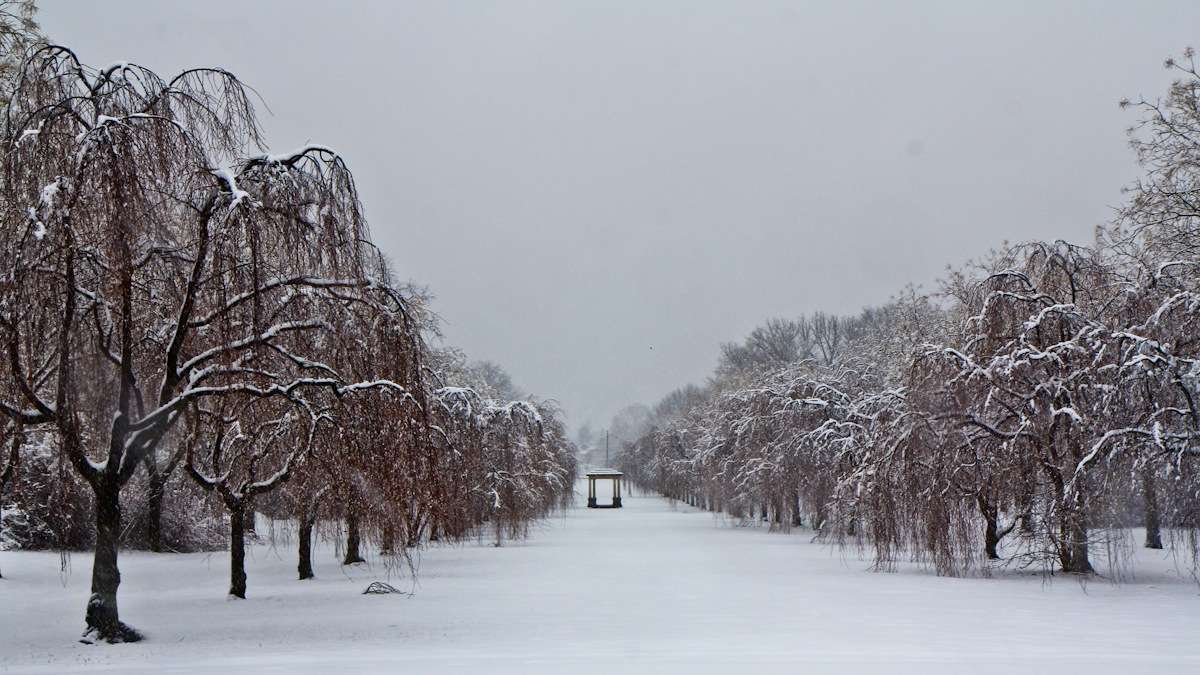
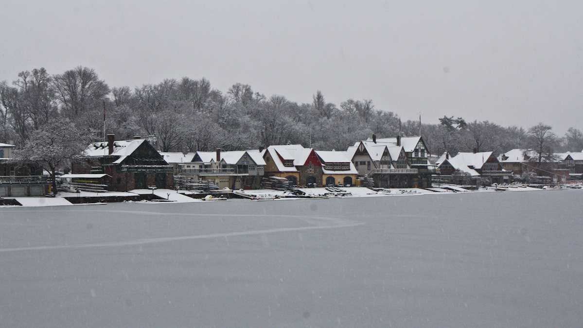
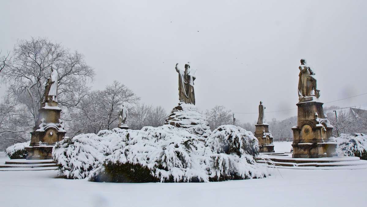
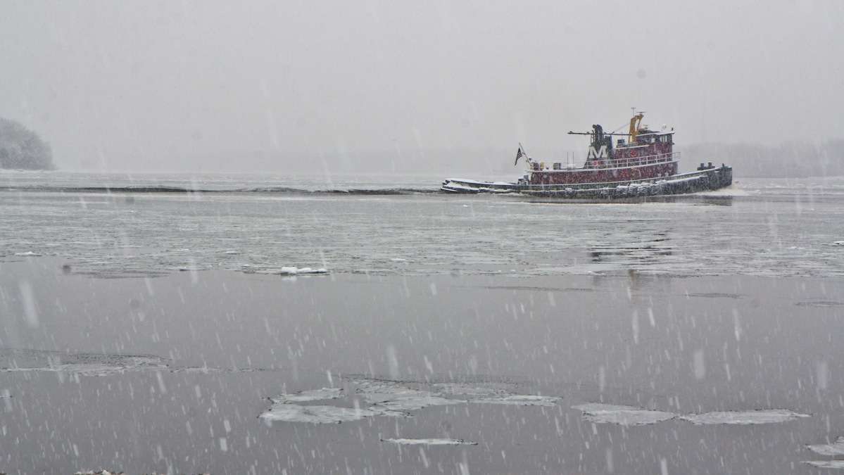
Heavy snow causing closures, delays — Philly asks businesses to remain open
UPDATE — About 16,000 PECO customers are without power after today’s winter weather took down power lines. Greg Smore from PECO, which has 1.6 million customers in the Philadelphia area, said the outages are mostly concentrated in Montgomery County.
A Winter Storm Warning is in effect for Philadelphia and the I-95 Corridor until 5 p.m. Monday. Snowfall was expected to increase through 2 p.m. and taper off until around 6 p.m.
Philly pleads with businesses not to close early
The city of Philadelphia says it’s “business as normal” during this storm and is urging local employers to follow suit.
Philadelphia Streets Commissioner David Perri says more than 200 pieces of snow-fighting equipment have been deployed throughout the city.
“The city is open for business, we are not having an early dismissal today, and we do not recommends that businesses close early,” Perri said. “When there is a mass early closure, we tend to get traffic jams, which also cause the snowplows to get caught up in the traffic.”
Public Safety Director Michael Resnick says the conditions are not bad enough to declare an emergency.
“Right now we are monitoring the weather. We are expecting four to six inches of snow. We are not activating our [Emergency Operations Center]. We are not declaring a snow emergency. Therefore there will not be any towing off of snow routes and there will be no discount parking,” Resnick said.
Perry adds that trash collections are going on as scheduled except for rear driveway trash collections. Those will not happen until the city is sure the driveways are clear of snow and ice.
The city is also reminding residents they have to shovel a three-foot-wide path within six hours of when the flakes stop falling
Not business as usual for commuters
The wintry weather closed Philadelphia public schools and many other districts before even the first flake fell in the city. Hundreds of flights were canceled or delayed at Philly International Airport — in total one-quarter of the airport’s flights (364) were canceled Monday.
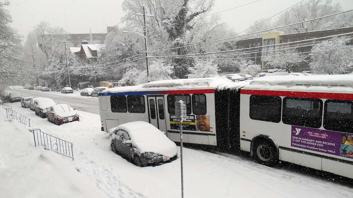
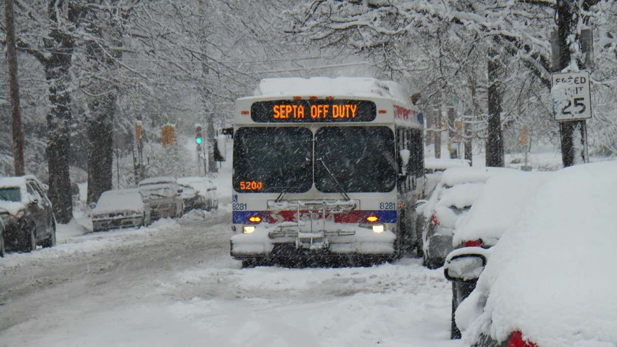
SEPTA reports regional rails are running close to schedule, but some bus routes are running into delays and cancellations. Service on bus routes 18, 33, 35, 94, 120, L, H & XH remains suspended. Bus Route 26 has resumed service between Frankford Transportation Center and Olney Transportation Center only. In addition, 45 bus routes are operating with detours. Passengers on all bus routes may experience delays of up to one hour due to weather conditions.
For updates, customers can go to the System Status section of www.septa.org. Customer service representatives are also available at (215) 580-7800.
The storm also caused a slew of accidents including a three tractor-trailer wreck that closed the westbound Pennsylvania Turnpike west of the Carlisle Interchange (Exit 226). There were also accidents on the Blue Route and I-95 southbound before Exit 3.
And, driving along area side streets spinning tires were the norm.
In hilly Conshohocken, frustration over cars and trucks stuck in the snow boiled over to the point where motorists began screaming aloud as police tried to clear the scene.
Power outages from Montgomery County to Camden
Downed trees caused traffic and power problems around the area. Over in Camden, the city campus of Camden Community College closed due to a power outage that knocked out power to more than 1,300 customers.
About 16,000 PECO customers are without power after today’s winter weather took down power lines. Greg Smore from PECO, which has 1.6 million customers in the Philadelphia area, said the outages are mostly concentrated in Montgomery County.
“We still have this very heavy wet snow that was accumulating on tree branches and limbs and bringing down these limbts onto wires, and that’s been contributing to a little bit of the issues that we’ve had on our system,” Smore said.
The utility has more than 1000 crew member working to restore power into tonight.
In New Jersey, there are fewer than five outages for parts of South Jersey and the Southern Jersey Shore serviced by Atlantic City Electric, officials said.
Delmarva Power, servicing customers in Delaware and Maryland, reported just a handful of outages, as well.
Estimated snow totals
Pennsylvania
Berks CountyBlandon 7.5Lower Heidelberg Township 9.0Mohnton 6.8
Bucks CountyFurlong 6.2Langhorne 4.0Warminster 6.3Yardley 4.3
Chester CountyEast Coventry Township 7.0Glenmoore 8.0Exton 6.0Malvern 8.3West Caln Township 7.3West Chester 8.0
Delaware CountyNorwood 4.0
Lehigh CountyAllentown Airport 8.1Center Valley 4.5New Tripoli 8.0South Whitehall Township 5.5
Montgomery CountyAmbler 6.5Graterford 7.6Lansdale 7.5North Wales 7.0Royersford 8.0Skippack 7.3
Northampton CountyBethlehem 7.0Bushkill Township 6.5Easton 6.5
Philadelphia CountyBustleton 5.5Philly International Airport 3.2West Mount Airy 4.5
New Jersey
Burlington CountyBurlington Township 5.0Florence 4.6Mount Holly 3.8Riverside 2.1Wrightstown about 5
Camden CountyCherry Hill 1.8Pennsauken 4.0
Mercer CountyEwing 5.5Hamilton Township 5.8Pennington 4.5Princeton Junction 7.0Trenton 4.5
Monmouth CountyLincroft 4.6Freehold 5.1
Ocean CountyLakehurst 1.5Toms River 1.8
Somerset CountyBelle Mead 5.0
Delaware
New Castle CountyClaymont 1.1Hockessin 1.0Talleyville 2.3
The start of a wintry week
The wintry weather is a stark contrast to Sunday’s mild conditions and temperatures around 50. So far this season, Philly has had 11 winter storms. Nine brought snow; two delivered ice.
Several towns tried to get ahead of the storm. Cheltenham Township, Abington Township and others declared a snow emergency Monday. All parked vehicles will be removed from snow emergency routes and only vehicles with snow/all-weather tires will be allowed to travel on them.
Monday’s snow will be just the beginning of a stormy week. From Tuesday night through Wednesday there could be a wintry mix that will then change to rain. The period of freezing rain could create slippery roads.
“This one will have more moisture than No. 1 and have a much greater contrast across the area,” Schwartz said. “South Jersey, Delaware and Philadelphia should get just about all rain, but it could be more than an inch of it. That, plus temps getting into the 40s will melt a lot of snow and potentially cause flooding problems. This could also lead to some river flooding, due to ice jams at some point.”
Areas in the north and west suburbs will have different problems Tuesday night. Snow will move in after 7 p.m. Tuesday and then change to freezing rain sometime after midnight. It may change to all rain after 10 a.m. on Wednesday.
Right now it’s not clear how much snow will fall compared to freezing rain during the second storm.
“The worst case would be a majority of the precipitation falling as freezing rain, which would lead to ice accumulating on trees and power lines on top of the snow already there from storm No. 1,” Glenn said.
The snow will add weight to the trees and power lines leading to the potential for power outages. If there are areas that don’t eventually change to rain, the travel problems will continue since temperatures will drop into the 20s Tuesday night.
Finally, a third system will move into the area Friday night into Saturday morning. Glenn says the track of that storm will be determined by what the second storm does.
WHYY is your source for fact-based, in-depth journalism and information. As a nonprofit organization, we rely on financial support from readers like you. Please give today.
