Cape May County launches near real-time flood risk mapping system
A New Jersey coastal county has unveiled a tool that will aid residents, business owners, and government decision-makers in preparing for tidal flooding.

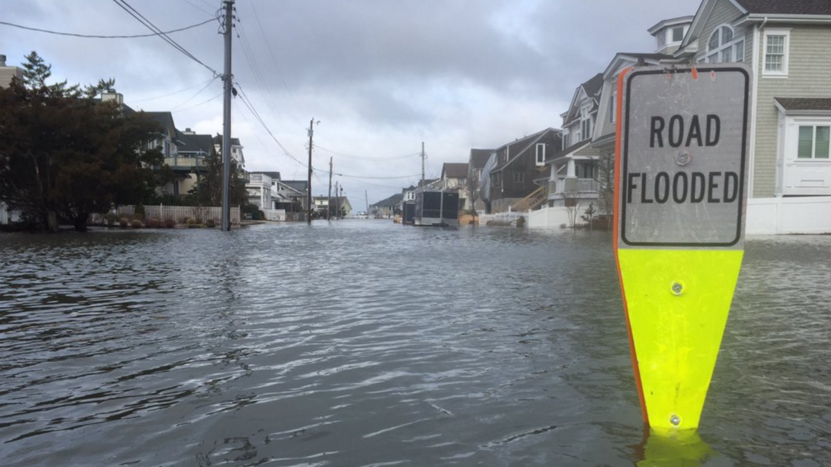
Tidal flooding in Stone Harbor in Feb. 2016 as photographed by Zeke Orzech (@Zeke_O via Twitter).
A New Jersey coastal county has unveiled a tool that will aid residents, business owners, and government decision-makers in preparing for tidal flooding.
The Cape May County Office of Emergency Management’s flood risk mapping system shows the flood risk on streets and neighborhoods in near real-time as storm events loom.
The system, which officials say is the first GIS-based flood modeling program offered by any New Jersey county emergency management office, allows anyone to track water level gauges and identify areas that are likely to flood.
It indicates when a flood will potentially arrive and the impact over the next four days.
The tool will be available to the public during the first quarter of 2019.
“Interpreting storm forecasts that, at times, contains confusing language and estimates are now translated into the exact information that the public requests: How may it affect my property and neighborhood”, said Cape May County Emergency Management Director Martin Pagliughi.
WHYY is your source for fact-based, in-depth journalism and information. As a nonprofit organization, we rely on financial support from readers like you. Please give today.


