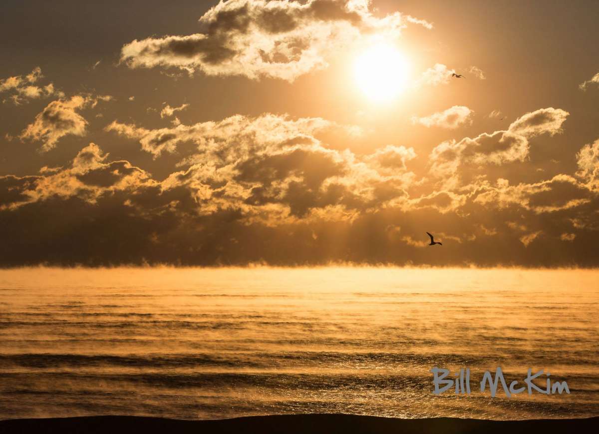
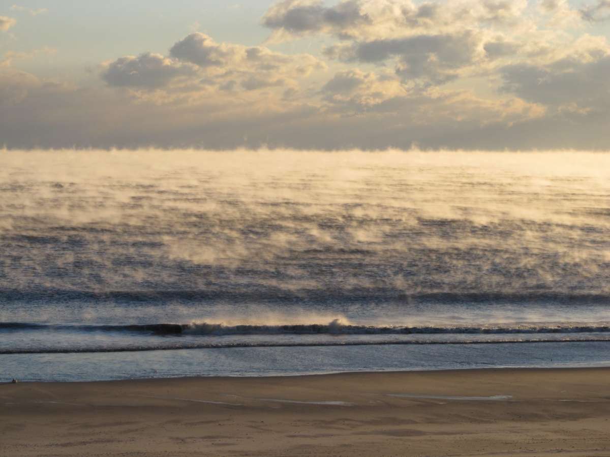
As warmer air arrives, sea smoke departs
The large high pressure system responsible for the recent bitter cold is moving offshore today, beginning a more mild period, according to the National Weather Service.
So as the warmer air arrives, the sea smoke departs. While rare here, the recent sharp temperature difference between the relatively warm ocean (middle to upper 30s) and the arctic cold generated eerie scenes along the shoreline.
Delaware Sea Grant explains: “These smoky-looking plumes rising from the ocean surface can be seen when still cold air overruns the warm moist air at the sea surface. Because the surface air is so much warmer than the cold air above it, the moisture in the rising warm air quickly condenses into small water droplets (like seeing your breath on a cold day). This phenomenon is often observed in colder climates – for example in the Arctic, Antarctic, and along the coast of Maine. Autumn is the season when sea smoke is most typically observed, as cold blasts of polar air masses blow over warm Atlantic waters.”
(Jersey Shore Hurricane News contributors captured the images in the gallery above.)
WHYY is your source for fact-based, in-depth journalism and information. As a nonprofit organization, we rely on financial support from readers like you. Please give today.


