How the South plan came together

Live news from South segment: (Team leader Walter Hood)
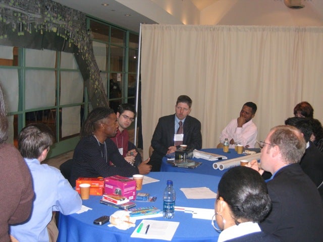
9:13 a.m. update: The working port is the elephant in the room. Some members of the group are reluctant to focus on the port because of the tensions surrounding its place along the waterfront as a commercial use area. When the south waterfront team split into smaller groups, discussions had centered on how to create relationships between a diverse range of uses in a small area, between the big box stores, the waterfront, and the proposed casino. For now, the group is staying away from hard plans for the working port. Walter Hood has directed the smaller groups to focus on specific sites for now, rather than the larger picture.
11:15: In each of the working groups there’s tension between what designers are imagining and what the “cold shower guys” say is possible. The group assigned to the Foxwoods Casino area is grappling with the issue of how to create access to the waterfront without having to go through the casino, which of course is designed to keep people in the building. Walter Hood has been working in this group to see if there’s a way to direct bike and foot traffic to the riparian lands in front of the casino and off Columbus Blvd. A PennDOT representative in the group is continually emphasizing the limits of alterations to the casino design.
The group studying the finger piers is imagining a natural cultural hub including Jefferson Square, the Mummers Museum and an historic Indian trail leading into Washington Avenue and down to the Coast Guard buildings on the river. But in the middle of discussions about parks and greenbelts along Washington Avenue, Tom Lavash of ERA (one of the “cold shower guys”) pointed out the city’s problems funding and maintaining current parks and green spaces. In order to have viable parks along this corridor, he said, there would have to be a high density of neighbors with a vested interest in maintaining them. In addition to funding and maintenance issues, there is the issue of zoning along Washington Avenue. As one planning and zoning official pointed out, Washington is one of a few East-West arterial routes through the city apart from I-676 and in the event of an emergency that would shut down the freeways; it would be one of the only corridors available to get across the city. Downsizing Washington Avenue to create canals or greenbelts along it is therefore not very feasible.
The group looking at Wal-Mart and the box store parking lots has sketched out a vision for the area that includes green corridors extending from underneath I-95 all the way to the waterfront, which is essentially a riverside park.
1 p.m. update: At the lunchtime presentations Walter Hood summarized the South group’s conceptual progress and explained their overall approach in terms of working with existing structures such as I-95 and the box retail stores to create “sedimentary development” that would bring the community back to the river in small increments. Hood talked about the city and the river in terms of tides and floodplains and areas of overlap where developments such as greenbelts and canals would start in the neighborhoods and gradually expand, leading residents to the river. The residential communities along the south waterfront, he said, are essentially cut off from the water by big box stores, the Interstate, port facilities and the planned Foxwoods Casino. In the face of these realities, the group’s approach is to work around obstacles and find creative ways to utilize existing architecture. For as much of an obstacle I-95 appears to be, it is also quite porous and has potential for more developments around and under it, like Rizzo’s Ice Skating Rink.
Along these same lines was the idea of filling in between the finger piers to create a true park on the east side of the box stores. The canals and greenbelts that start modestly in the neighborhoods would expand as they approached the waterfront and connect to this larger waterfront park.
The other elephant in the room, besides the working port facilities, is the actual site of Foxwoods Casino. One designer asked the group bluntly: “Is this the best place for a casino?” Many in the group seemed perturbed that they were being asked to create a design around the predetermined casino site and suggested the best waterfront design wouldn’t include a huge casino site on the river at all.
In the coming afternoon sessions, the group will continue fleshing out the concept of sedimentary development and further explore ways to connect the neighborhoods to the river by bringing waterfront development into the city.
3 p.m.: Ed Zimny, a representative of various pier tenants, and International Longshoreman Vice President Jim Paylor, arrived after lunch and spoke to the south group about the industrial status of the southern waterfront.
“Finger piers are obsolete for a couple reasons. The ships are too large to pull in, and the entire shipping process has changed so that cargo is moving out much more quickly than it used to,” Zimny said. “The piers are also labor intensive and generate the most jobs. The problem is that when the casinos come online the traffic volume will decrease the commercial viability of the piers.”
Zimny conceded that given the inevitability of casinos on the waterfront, eventually the finger piers would most likely be torn down. “But we won’t give them up until we have to.”
Zimny said other developmental problems in the area are also not being addressed, including a $25 million warehouse for paper product storage the Philadelphia Regional Port Authority has slated for construction between Super Fresh and PRPA Wood Products. Like finger piers 84, 82 and 80, this new warehouse will be made obsolete by the advent of waterfront casinos, according to Zimny.
5 p.m. update: As the day wears on, the designers are beginning to imagine increasingly radical scenarios. In one corner, they have expanded the river inland by tracing the 100-year flood plain in a thick blue line, cutting across existing box stores, parking lots, streets and residential areas. The piers, assumed to be eventually obsolete, are underwater.
At an adjacent table, a small team including Fran Hanney of PennDOT has sketched out an alternative vision for the 33 acres of the Foxwoods Casino, including twin residential towers sloping down toward the river and some kind of townhome village in the center of the site with wide green spaces near the water’s edge.
A third team has drawn out an elaborate diagram of greenbelts and canals reaching into nearby neighborhoods, a fuller vision of Walter Hood’s “sedimentary development” idea from the morning session. These new greenbelts are bolder than before, with lagoons and arched bridges and meandering urban trails.
The key to these green interstices is their frequency. As urban designer Ian Lockwood said earlier in the afternoon, the block structure is most crucial. “Without the right-sized blocks you don’t create an urban dynamic, you create these huge walls,” he said. “I can’t of a great city that doesn’t have the right block structure.”
“The question is, once you get past the pretty drawings does the design deliver and hold to the core principles? Everything we enjoy about the city is possible to create on the waterfront.”
8 p.m. update: An inconvenient truth?
The South group’s working plan for the waterfront is based on the idea of “reclaiming the water’s edge rather than rebuilding” along the 100-year flood plain. The central idea takes as a given that river levels will rise dramatically in the coming century, inundating the finger piers north of Oregon Avenue and creating a “useable wetland area” between the water’s edge and the current retail box stores (Ikea, Wal-Mart, Home Depot).
The plan also calls for an expanded coastline south of Oregon Avenue and, at a right angle, along what used to be Pier 98 in order to increase shipping capacity, assuming the finger piers will be either inundated or commercially obsolete because of casino traffic.
Group leader Walter Hood defended the seemingly radical plan as a way to “start thinking differently about urban areas.” Designers and planners are increasingly taking account of environmental concerns including rising water levels in an era of apparent global warming, he said.
Other aspects of the plan call for a canal that begins at the current Sheet Metal Workers Union site and extends along Washington Avenue toward Jefferson Square Park. A green belt of tree islands and a foot/bike path will continue along Washington Avenue all the way to Jefferson Square Park, which will be connected to a redeveloped Sacks Recreation Field. A foot/bike path along Moyamensing Avenue from Dickinson Square to Jefferson Square Park will tie recreational and historic aspects of the area together and lead neighborhood residents down Washington Avenue to the waterfront. The idea, said designer Kirk Brown, is to “give them a reason to use Washington Avenue again.”
A new off-ramp on I-95 will help mitigate traffic near the rail yards. A network of new roads will bisect larger blocks and draw traffic off Columbus Blvd.
The site plan for Foxwoods Casino also underwent revision, including a dramatic redrawing of its footprint that builds up instead of out. The casino would feature two towers, both of which would take up the western half of the 33-acre site; the eastern half would be greenspace and a waterfront park. The site will also have a road bisecting it parallel with the river and road access on either side.
WHYY is your source for fact-based, in-depth journalism and information. As a nonprofit organization, we rely on financial support from readers like you. Please give today.


