The science of forecasting wintry weather
Listen
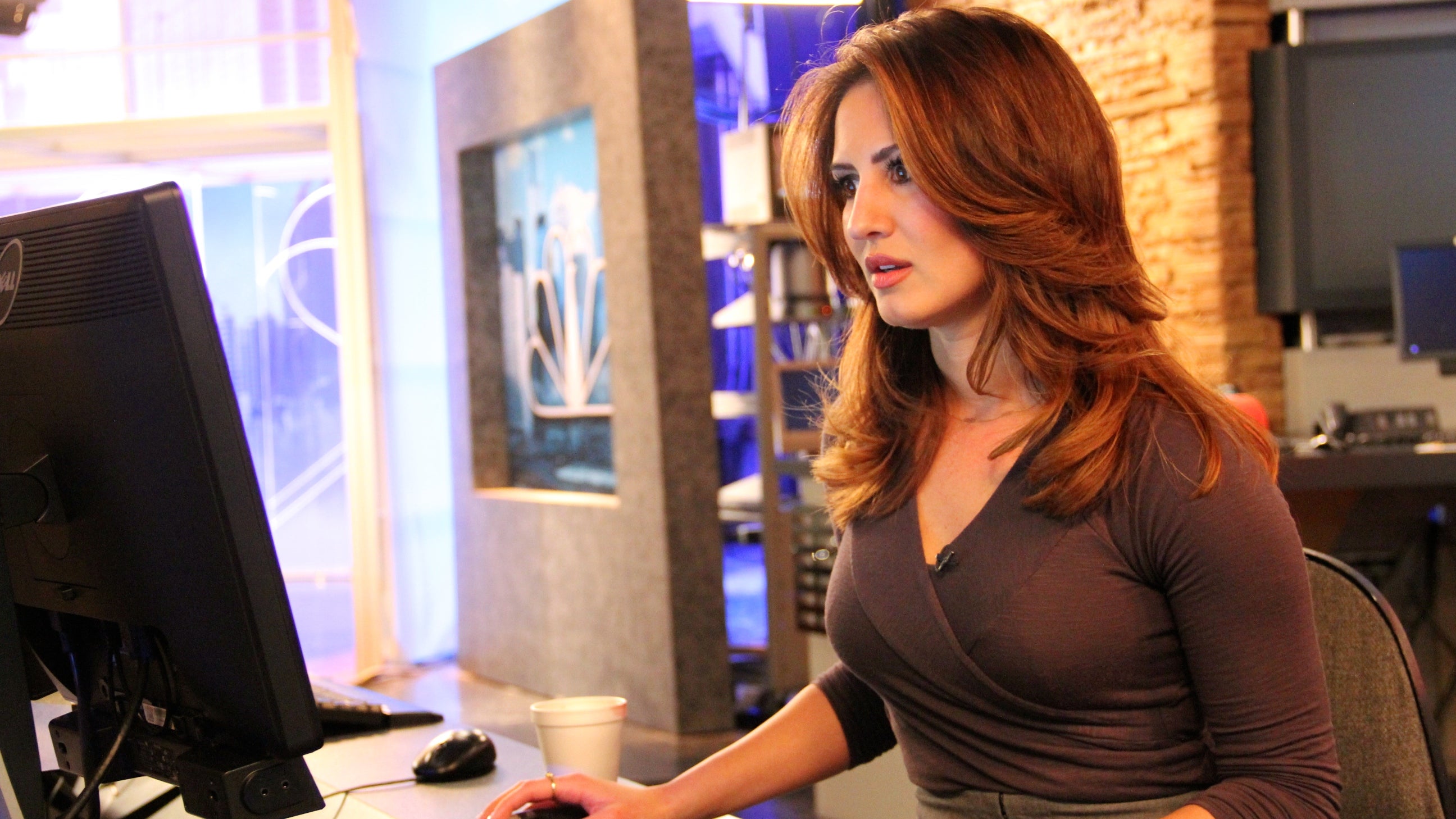
NBC 10 meteorologist Sheena Parveen preparing winter storm updates
Everybody loves talking about the weather. But how do we know what numbers to fret about in the first place?
Remember last Sunday, when Philadelphians thought they were going to get slammed with another foot of snow to start off the workweek?
“No, don’t say the storm’s weakening,” NBC10 meteorologist Sheena Parveen says calmly into the phone. It’s the Web desk. “The storm is still going to dump quite a bit on South Jersey and Delaware. It depends where you are.”
It’s Sunday night and Parveen is prepping for the 11 o’clock newscast. We’re sitting in the “NBC10 First Alert Weather Center,” looking at a colorful radar map looping across a computer screen.
“I don’t think that people understand how much goes into forecasting,” Parveen said.
I think she’s right.
What do meteorologists do?
First off, “meteorologist” isn’t some made-up title — Parveen (listed under her given last name of Samanipour) is one of some 500 broadcasters nationwide with a special certification. She earned it after going to school for meteorology in her native Florida. “And it’s not just how to point at things in front of the wall,” she quips.
It’s atmospheric science and physics and even a little math. Best I can tell, weather forecasting is like being hit with a fire hose of information and parsing out what it all means. Sometimes it just doesn’t come across that way.
“Where do [viewers] think these graphics come from?” Parveen said. “How do they think that we forecast the weather? How do they think we make the 7-day forecast? Do they think we Google it and put it in, because we don’t,” she adds, with a laugh.
Each TV channel makes its own forecast, though they look at roughly the same set of data. And in a market where a botched winter storm prediction basically drove one TV weatherman out of town, getting it right matters.
Each forecasting model has its own biases, Parveen says. And the human element to predicting the weather is about spotting patterns across different readings.
“Sometimes it’s a matter of opinion, when you have [forecasting] models that are disagreeing largely,” she said. “Last winter we had a lot of that. We had models throwing 12 inches on us and some throwing one inch.”
This winter has been a different story. It’s currently the third-snowiest on record for Philadelphia, with a 62.9-inch seasonal total. Around 20 inches is normal for the area.
It’s also the first “real” winter for Parveen as a meteorologist, who has been in Philadelphia for just over two years.
“Personally, it’s very interesting to see this type of weather happening,” she says. “[But] I know, just as a resident, you don’t really want this. I mean, one day might be fine, but you get sick of it after a while.”
From outer space to your TV screen
But back to predicting the weather.
Much of the data from which TV forecasts are made come from the National Weather Service.
“We put things up there to make sure that we don’t miss the forest for the trees,” said Sarah Johnson, a meteorologist at the National Weather Service (NWS) field office in Mount Holly, N.J. Johnson is talking about three big flat-screens with maps and Web cams from across portions of New Jersey, Pennsylvania and Maryland, as well as all of Delaware. That’s the swath of territory this outpost keeps watchful eye over.
So what’s it been like this winter working to stay on top of the weather?
“It’s been pretty exhausting,” Johnson said. “It’s been one storm after another.”
The Weather Service keeps tabs on expensive satellites that take pictures of Earth’s weather systems. “And then infrared, which gives us an idea of the temperature of the tops of the clouds, which can be helpful especially for snow forecasting,” Johnson said.
Snow is the trickiest part of forecasting, especially in the mid-Atlantic.
A weather-forecasting arms race
The Weather Service, which sits under the National Oceanic and Atmospheric Administration (NOAA), has 122 field offices across the U.S. and its territories. The federal agency’s advances in technology have steadily increased accuracy.
“Error in our 7-day forecast is now the same error that was in the 3-day forecast just 20 years ago,” Johnson said. “It’s rapidly improving.”
However, there still exists plenty of room for improvement.
Superstorm Sandy revealed flaws in the Weather Service’s Global Forecast System. Another network of supercomputers based in Britain, known as the European model, proved even more accurate.
Now, with about $25 million from Congress, the Weather Service is slowly upgrading its computing power. NWS supercomputers can now zip through 213 trillion calculations per second. When the plan was announced last spring, it was hailed as a game-changer.
The long-term outlook is more accurate forecasting models, better predictions and an even higher bar your local weatherperson will have to hit.
WHYY is your source for fact-based, in-depth journalism and information. As a nonprofit organization, we rely on financial support from readers like you. Please give today.


