Snow for late Sunday into Monday? Don’t get excited just yet
-

-

-

-

-

-

-

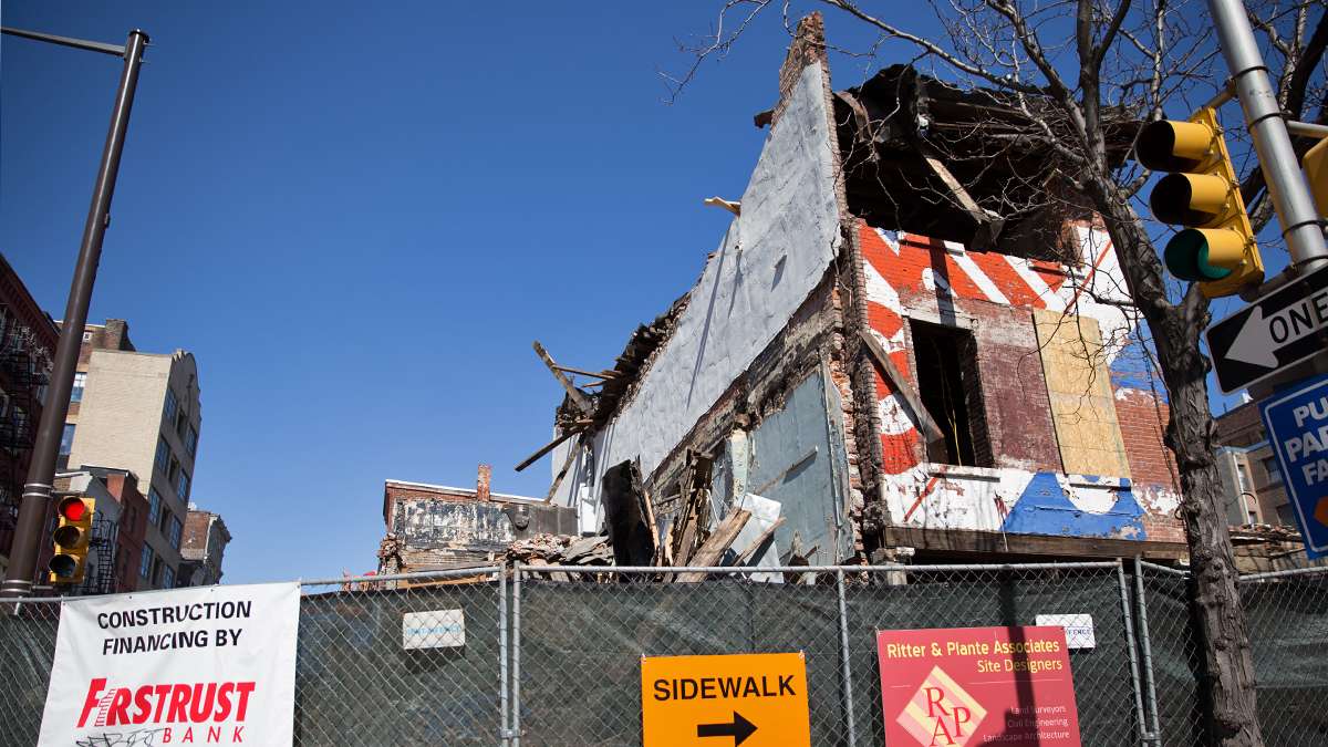
Brick and debris landed in the street after a side wall collapsed during the demolition of the Shirt Corner on 3rd and Market Streets Thursday afternoon (Lindsay Lazarski/WHYY)
-

Will winter go out with a bang?
There’s the potential for wintry weather late Sunday into Monday, but tread lightly: it’s still very early in the game.
“With a lobe of the Polar Vortex hanging around to our north providing cold air, any energetic or moisture filled disturbance would bring the potential for snow. The disturbance late this weekend could do exactly that,” said John Homenuk, lead forecaster at New York Metro Weather.
But Homenuk cautions that all pieces have to align perfectly for a snowy outcome.
“Much of the forecast, however, hinges on the exact positioning and strength of the disturbance as it ejects northeastward from the Southwest US towards the Mid Atlantic,” he said, adding that forecast models are “up in arms” with how it will play out.
In simple terms, it means that if the energy is combined in one piece, a snow storm develops. The Canadian, DGEX extension, and SREF/NAM models all show this happening, Homenuk said.
However, the powerhouse forecast models (GFS and ECMWF) “are not at all enthused about this idea,” the forecaster said. Those models show energy separating and heading eastward as a weak disturbance that shifts harmlessly offshore.
So what’s the bottom line?
“We won’t sugar coat it: This is a difficult forecast,” Homenuk said. “To make things worse, forecast models are not helping with their wildly differing opinions on how the pattern will shake down. That being said, our current forecast calls for a more progressive (weak disturbance) solution.”
Still, he said that the forecast confidence is currently “quite low,” so stay tuned.
WHYY is your source for fact-based, in-depth journalism and information. As a nonprofit organization, we rely on financial support from readers like you. Please give today.

