Prepare for blizzard conditions, scattered power outages, three high tide cycles of flooding

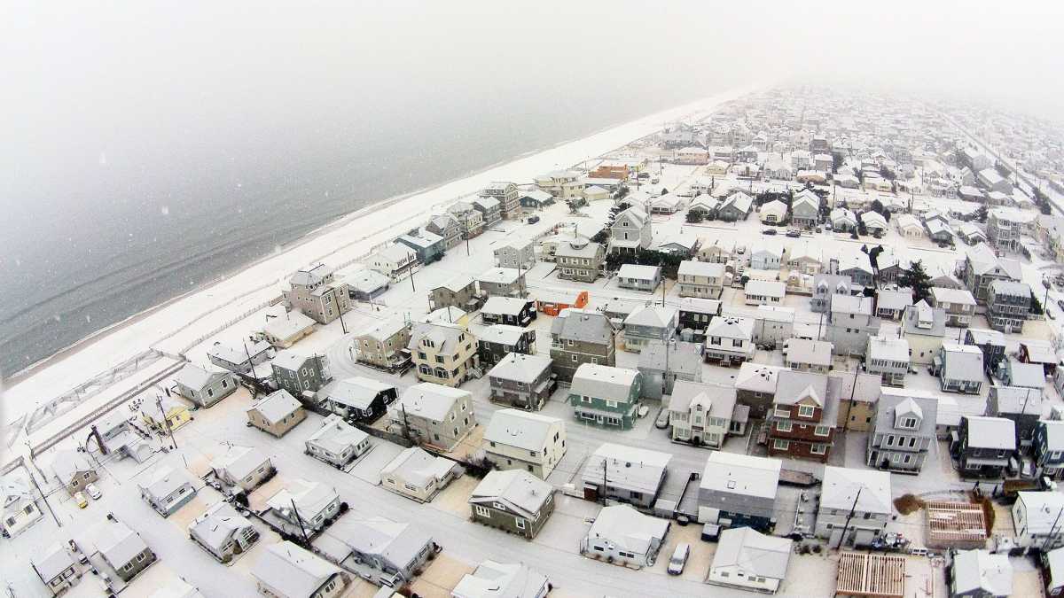
Ocean Beach 2 in January 2015. (Photo: JSHN contributor Shane Skwarek)
Heavy snow is just one component of the coastal storm that will arrive at the Jersey Shore this evening.
Forecasters say to plan for the possibility of scattered power outages due to strong winds and heavy, wet snow along with coastal flooding for three high tide cycles.
The National Weather Service is calling for a general 8 to 12 inches of snow along the coast through central Ocean County, decreasing to 6 to 8 inches from Long Beach Island to southern Atlantic County, and 4 to 6 inches in Cape May County. The progressively lower totals south are due to more mixing with sleet and rain. Interior sections of Monmouth and Ocean counties are likely to see 12 to 18 inches.
Snow will begin falling in far southern shore areas early this evening, moving north and overtaking the entire area by around midnight.
At the coast, northeast winds will be gusting up to 60 miles per hour tonight through tomorrow, progressively decreasing inland. By tomorrow night, the wind direction will turn to the north and will begin to lessen by Sunday.
Accordingly, forecasters expect blizzard conditions on Saturday in central and northern shore areas due to blowing snow and poor visibility. Roads might also become impassable due to heavy snowfall rates. Travel will be dangerous.
NOAA defines blizzard conditions as the following for at least three hours: “Sustained wind or frequent gusts to 35 miles an hour or greater and considerable falling and/or blowing snow (i.e., reducing visibility frequently to less than ¼ mile).”
Scattered power outages are possible due to the strong winds and the heavier, wetter snow that will accumulate on power lines and weigh down tree branches.
Forecasters expect widespread moderate coastal flooding and localized areas of major coastal flooding in Ocean County to the south for three consecutive high tide cycles due to the strong onshore flow pushing water against the coast and into the back bays and estuaries. But flooding will not reach record levels.
In Monmouth County, guidance suggests widespread minor coastal flooding during the day tomorrow, increasing to moderate levels from the night through Sunday morning.
Many roadways will flood, and minor to moderate property damage is possible.
High tide occurs along the oceanfront between 6:30 a.m. and 7:30 a.m. Saturday morning, 7:00 p.m. and 8:00 p.m. Saturday night, and 7:00 a.m. and 8:00 a.m. Sunday. High tide on the back bays occurs later than the oceanfront.
WHYY is your source for fact-based, in-depth journalism and information. As a nonprofit organization, we rely on financial support from readers like you. Please give today.

