PennDOT announces vehicle restrictions due to winter storm
The snow will transition into freezing rain and sleet before changing into a steady rain.
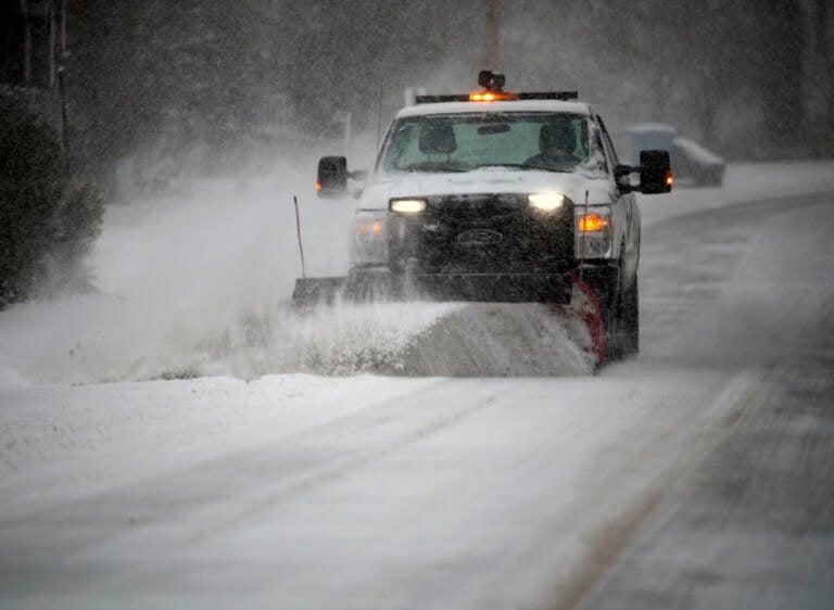
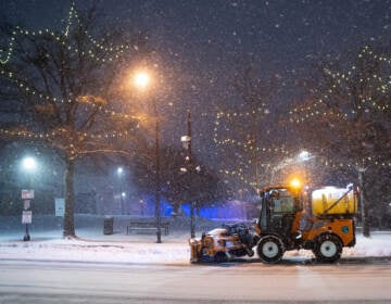
A snowplow clears a main road during a winter storm in Southwest Roanoke City on Sunday, Jan. 16, 2022, in Roanoke, Va. (AP Photo/Don Petersen)
This story originally appeared on 6abc.
PennDOT crews moved swiftly Sunday afternoon ahead of a winter storm that is expected to bring a mix of snow, sleet and rain across the Delaware Valley.
“This is a complex storm that will make travel difficult, if not downright treacherous, at times during the overnight hours and into Monday morning,” said Pennsylvania Emergency Management Agency Executive Deputy Director Jeff Thomas. “PEMA will be in close contact with our county emergency management and state agency partners to stay aware of conditions and provide help when needed.”
Among the largest concerns for officials: drivers on roadways during and after the storm.
“We urge Pennsylvanians and visitors to stay in and stay warm during this storm and only travel if absolutely necessary,” officials said.
PennDOT said roadways have already been pre-treated ahead of the storm.
PennDOT, PA Turnpike issued these vehicle restrictions ahead of the storm:
Effective at 5:00 PM Sunday, January 16, vehicle restrictions are planned for the following roadways at Tier 2 of the commonwealth’s weather event vehicle restriction plan:
- All interstates north of I-80.
- I-80 from I-99 to the New Jersey border.
Effective at 5:00 PM Sunday, January 16, vehicle restrictions are planned for the following roadways at Tier 3 of the commonwealth’s weather event vehicle restriction plan:
- I-70 east of I-79.
- I-79 north of I-80.
- I-80 from the Ohio border to I-99.
- The entire length of I-86.
- The entire length of I-90.
- I-99.
Effective at 7:00 PM Sunday, January 16, vehicle restrictions are planned for the following roadways at Tier 2 of the commonwealth’s weather event vehicle restriction plan:
- PA Turnpike Northeast Extension (I-476) from I-80 to Clarks Summit.
Effective at 11:00 PM Sunday, January 16, vehicle restrictions are planned for the following roadways at Tier 3 of the commonwealth’s weather event vehicle restriction plan:
- I-81 north of I-84.
- I-84.
- I-380.
Under Tier 2 restrictions, the following vehicles are not permitted on affected roadways:
- Tractors without trailers.
- Tractors towing unloaded or lightly loaded enclosed trailers, open trailers or tank trailers.
- Tractors towing loaded tandem trailers unless there are chains or another approved Alternate Traction Device on board.
- Enclosed cargo delivery trucks that meet the definition of a CMV.
- Passenger vehicles (cars, SUV’s, pickup trucks, etc.) towing trailers.
- Recreational vehicles/motorhomes.
- School buses, commercial buses, and motor coaches and motorcycles.
After 4 p.m. Sunday, precipitation will begin to spread south to north. Along northwest of the I-95 corridor there will be a small window of opportunity for accumulating snow.
After a few hours, snow will transition into freezing rain and sleet before changing into a steady rain.
In areas closer to the coast, this will be an all rain event.
Along with the steady rain, it will become very windy with winds gusting 40-50 mph with some locally higher gusts possible.

Get daily updates from WHYY News!
WHYY is your source for fact-based, in-depth journalism and information. As a nonprofit organization, we rely on financial support from readers like you. Please give today.
