NWS: ‘Low end’ major tidal flooding possible tomorrow morning

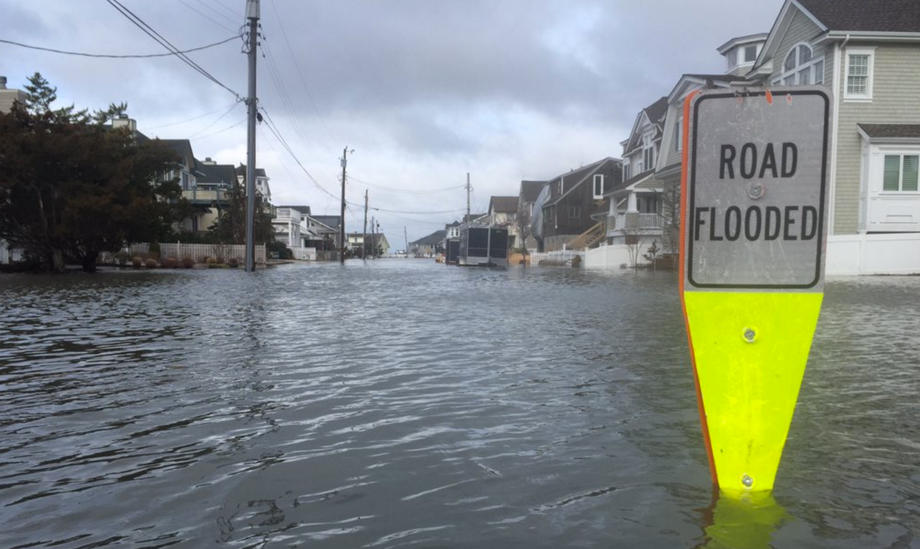
Tidal flooding in Stone Harbor this morning as photographed by Zeke Orzech (@Zeke_O via Twitter).
After widespread moderate tidal flooding this morning, the Jersey Shore is facing two additional rounds, with tomorrow morning’s high tide likely the most impactful of the three, forecasters say.
A Coastal Flooding Warning remains in effect until noon tomorrow, according to the National Weather Service.
According to the bulletin, widespread moderate tidal flooding is likely during the high tide cycle tonight and tomorrow morning, when the tide could reach “low end” major levels.
“Widespread roadway flooding is possible with the high tide this evening,” the bulletin warns. “Widespread road flooding and some damage to vulnerable structures is possible with the high tide Tuesday morning. Wave action could result in significant beach erosion.”
The flooding is due to a strong onshore flow and astronomical tides due to the new moon.
High tide along the oceanfront is between 7:00 p.m. and 8:00 p.m. today and 7:30 a.m. and 8:30 a.m. tomorrow. High tide in the back bays is a few hours later.
The Jersey Shore experienced moderate tidal flooding this morning, with streets underwater in Union Beach and Stone Harbor and waves overtaking beaches Mantoloking, Normandy Beach, and Ortley Beach. Portions of Route 35 in Monmouth County were closed due to flooding.
In the Manasquan River, a fishing vessel broke free from its anchor and drifted into the NJ Transit railroad bridge.
WHYY is your source for fact-based, in-depth journalism and information. As a nonprofit organization, we rely on financial support from readers like you. Please give today.

