Nor’easter arrives in New Jersey
-
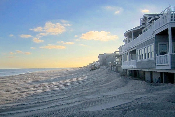
<p>Crews push sand up against the homes in Beach Haven, N.J. on Monday. (Photo courtesy of Denis Devine)</p>
-
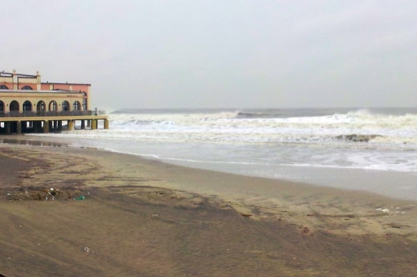
<p>Ninth Street and the Boardwalk in Ocean City, N.J. at 12 p.m. (Tom Mac Donald/WHYY)</p>
-
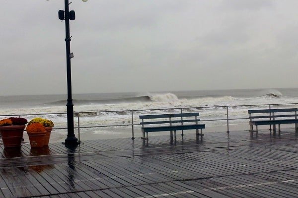
<p>Ocean City before high tide. (Tom Mac Donald/WHYY)</p>
-
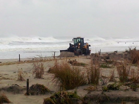
<p>Crews in Ocean City are rushing to build up the dunes before high tide. (Tom Mac Donald/WHYY)</p>
-
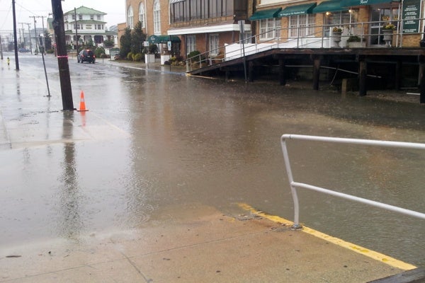
<p>Low-level flooding begins on 11th Street in Ocean City. Photo 1:10 p.m. (Tom Mac Donald/WHYY)</p>
-
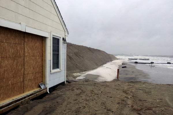
<p>Ocean City's Northend at 1:26 p.m. on Wednesday. (Tom Mac Donald/WHYY)</p>
-
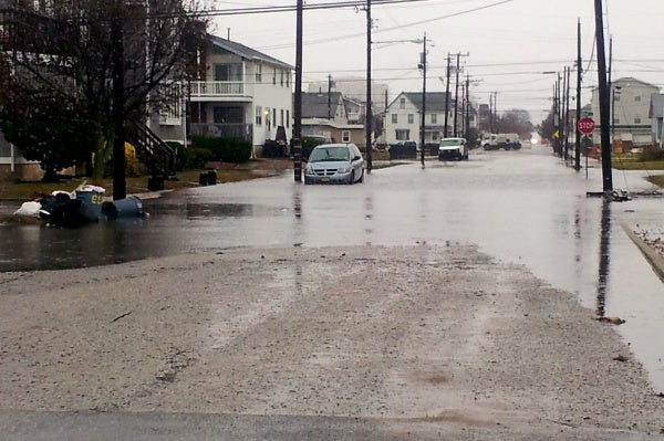
<p>This is just after 3 p.m. on the backside of Ocean City at 4th Street and Bay Avenue. (Tom Mac Donald/WHYY)</p>
-
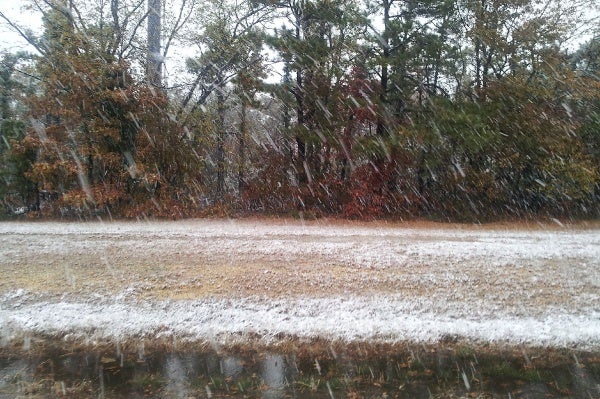
<p>Snow falling on the Atlanic City Expressway on Wednesday 4:15 p.m. 11/7/12. This is the state's first snowfall of the 2012-13 winter season. (Tom Mac Donald/WHYY)</p>
-
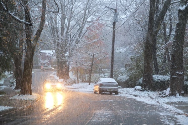
<p>Hibben Road near the Princeton Theological Seminary 4:30 p.m. Wednesday. (Photo courtesy of Evelyn Tu)</p>
-

<p>A deer grazes in a snowy field in Millstone Township, N.J., as a nor'easter moves in. (Emma Lee/for NewsWorks)</p>
-
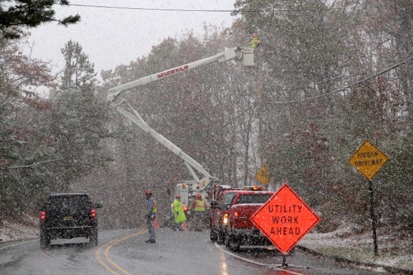
<p>Utility workers in Millstone, N.J. work to restore power lost because of Hurricane Sandy even as a nor'easter strikes. (Emma Lee/for NewsWorks)</p>
-
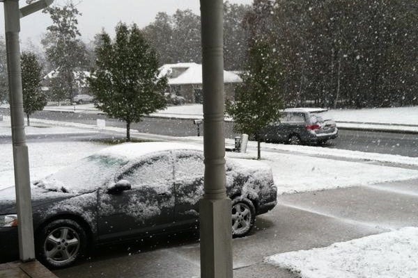
<h2 class="fullname" style="margin: -2px 0px 0px; color: #333333; font-size: 24px; line-height: 28px; white-space: nowrap; font-family: 'Helvetica Neue', Arial, sans-serif;">Jennifer Malme sent us this photo from Vineland. She blogs at downhomesouthjersey.com</h2>
-
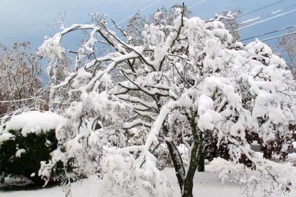
<p>Brick, N.J. after the season's first snowfall. (Phil Gregory/for NewsWorks)</p>
Thursday, 11/8/12
5:52 p.m.
I found it! Snow totals. This map shows a color shaded map of where the snow fell. This one is from the National Weather Service.http://1.usa.gov/YTpRce
10:31 a.m.
The National Weather Service forecast for much of South Jersey calls for party cloudy skies by this afternoon with highs in the 40’s. It will also remain breeze with occaissional gusts up to 30 mph possible in some areas.
10:25 a.m.
The Delaware River basis Coastal Flood Advisory has been cancelled. The high tide cycle has passed and all locations are below flood stage.
_______________________________________________________
11:16 p.m.
Snow continues to fall over much of New Jersey at this hour. NBC10 radar shows the only parts of the Garden State not recieving snow at this moment is near Millville in Cumberland County and in the extreme Northwest near Newton, N.J. in Sussex County.
NewJerseyWeather.com reports 8 inches of snow has already fallen in Freehold, N.J. in Central Jersey. It also writes that the snow should be over by Thursday 2 a.m.
6:06 p.m.
Egg Harbor Township is experiencing some new power outages due to today’s storm.
6:05 p.m.
Hey this storm just got named. The Associated Press just ran this:
Winter Storm Athena, formerly known as the nor’easter lifting along the East Coast, became the first named winter storm of the season this morning. Increasing north to northeast winds gusting to about 60 mph and a storm surge of 2 to 3.5 feet were expected along the coastal areas that were significantly affected by Sandy last week.
5:24 p.m.
New Jersey braces for setback from nor’easter
To compound the troubles after Superstorm Sandy, a nor’easter is rumbling through New Jersey’s Shore towns.
Just as the cleanup efforts were making a dent in the destruction, the new storm threatens to erode progress with a scouring blast of high winds, rain, and even snow.
But Gov. Chris Christie says state government is prepared for the latest assault from Mother Nature.
Touring Long Beach Island Wednesday, the governor said efforts to restore power may suffer a setback because the storm could bring down more trees and electric lines, and winds might make it unsafe for utility crews to continue working. (more)
5:21 p.m.
On the heels of Sandy, nor’easter likely to cause more trouble than usual
Still recovering from Superstorm Sandy, Jersey shore communities are now feeling the effects of a nor’easter. Gusts in the 50-mile an hour range, rain, snow, tidal surges and flooding in coastal areas are possible this evening and Thursday morning.
Atlantic County spokeswoman Linda Gilmore said shore residents are used to nor’easters, but in the wake of Sandy, this one may do more damage than usual. Many retaining walls and natural dunes on the beach were washed away by the super storm. (more)
4:27 p.m.
Camden County issued a “Code Blue” severe weather alert to take effect at 6 p.m. This is a county order to all of its municipalities to “warming shelters.”
2:31 p.m.
Noreaster brings first snowfall
For inland South Jersey many areas closer to the Shore will be under the High Wind Warning, for many other areas including the suburban areas near Philadelphia should expect a mix or rain and snow.
These these area a Winter Storm Warning is in effect until Thursday 6 a.m. Expect anywhere from 2-5 inches by tomorrow morning.
Camden County just issued a press release telling us crews are now putting down liquid brining on the roads. It also gives the following contact information for storm related problems.
Any calls about power outages should be directed to the utilities:
· PSE&G: 1-800-436-PSEG (7734)
· PSEG website: http://pseg.com/home/customer_service/outage_info/index.jsp
· Atlantic City Electric: 1-800-833-7476
· Atlantic City Electric website: http://www.atlanticcityelectric.com/home/
· South Jersey Gas: 1-800-582-7060
· South Jersey Gas website: http://southjerseygas.com/
2:21 p.m.
The Jersey Shore alert
A Coastal Flood Warning is in effect until Thursday 8 a.m. for Shore towns in Cape May, Atlantic and Ocean Counties.
2:15 p.m.
Here comes the wind
A High Wind Warning is in effect through Thursday 6 a.m.
for much of South Jersey. The warning includes: Ocean, Atlantic, Cape May, and Southeastern Burlington counties.
Residents in these areas should expect 25-35 mph winds with peak gusts up to 60 mph.
2:00 p.m.
Delaware River region weather alert
A Coastal Flood Advisory remains in effect
from Wednesday 4 p.m. through Thursday 10 a.m.
Minor Flooding is expected around high tide cycles.
* Timing: High tide will move up the Lower Delaware River Wednesday between 4- p.m. and return Thursday between 5-10 a.m.
1:30 p.m.
Evacuation orders are in effect for Toms River communities on the barrier island, Brick Township’s low-lying areas and Middletown Township in Monmouth County has issued a mandatory 3 p.m. evacuation from Keansburg to Atlantic Highlands from Route 36 to the bay. (This should not be confused with Middle Township in Cape May County)
12:45 p.m.
WHYY/NewsWorks’ Tom Mac Donald reports from Ocean City that high tide is expected in 15 minutes. High tide is when we’ll see the extent of coastal flooding along the Jersey Shore. Mac Donald said the waves are lapping up against Ocean City’s Music Pier and water is getting close to the boardwalk. He said public work crews are using large bulldozers to create sand dunes on the southern section of Ocean City.
SEPTA is advising Regional Rail customers to expect delays of approximately 15 minutes due to slippery rail conditions.
12:23 p.m.
Public works crews in New Jersey are building up dunes along the Jersey Shore to help protected the battered shoreline as a nor’easter bears down on the state.
Gov. Chris Christie warned Wednesday that New Jersey may suffer a setback in its Superstorm Sandy recovery efforts as a result of the new storm.
Toms River has issued a mandatory evacuation of the Barrier Island at noon. There are voluntary evacuations of low-lying areas on the mainland.
Middletown Township in Monmouth County has issued a mandatory 3 p.m. evacuation from Keansburg to Atlantic Highlands from Route 36 to the bay.
Storm surges of up to 3 feet and high winds have been predicted.
Christie says he realizes everyone is tried from Superstorm Sandy but that no one should let their guard down.
The number of customers without power in New Jersey has dropped to under 400,000. But Christie says new outages could occur inland because of the heavy wet snow forecast with the nor’easter.
With winds picking up at the Shore, Atlantic County has activated its emergency operations center and has told residents to restock their emergency supplies. Officials will be watching for signs of flooding at the 1 p.m. high tide. They’re also concerned about possible power outages.
Travel
Major airlines are scrapping flights in and out of theNew York area ahead of the second significant storm in little more than a week. United is suspending most area service at noon due to the forecast. American Airlines is shutting down at 3 p.m. and stopping Philadelphia flights at noon.
WHYY is your source for fact-based, in-depth journalism and information. As a nonprofit organization, we rely on financial support from readers like you. Please give today.


