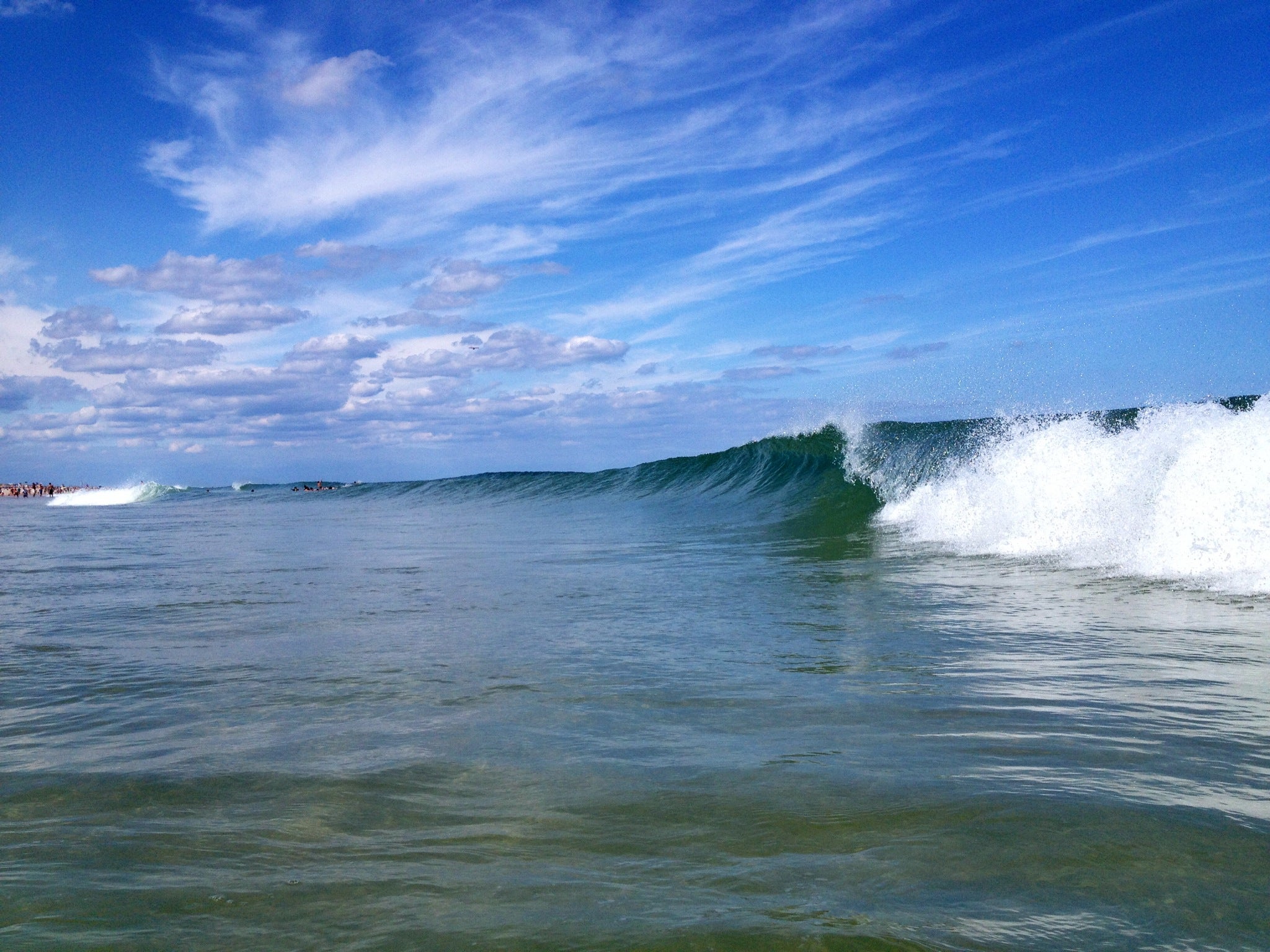
Moderate rip current risk today; long period swells from Cristobal on the way

(Photo courtesy of Courtenay Harris Bond)
There is a moderate risk of rip currents Tuesday, but the threat could rise once swells from Hurricane Cristobal, which will remain well offshore, arrive Wednesday, forecasters say.
The threat level was dropped from high on Monday as wind and waves are now slowly decreasing due to building high pressure and a diminishing easterly flow, according to the National Weather Service.
But long period swells may build to four to six feet for Wednesday and Thursday.
“The waves and the long period swells may create hazardous conditions for small craft, especially around the inlets along the coasts of Delaware and New Jersey,” a Forecast Discussion from the National Weather Service office in Mount Holly, NJ advises.
In addition, National Weather Service forecasters may increase the rip current risk to high during the same period.
A moderate risk means that swimmers should expect stronger or more frequent rip currents and should always have a flotation device and swim only in life guarded areas.
Rip currents are powerful channels of water flowing quickly away from the shore, often occurring in low spots or breaks in the sandbar and in the vicinity of structures such as groins, jetties, and piers.
Cristobal, which will make its closest approach at about 500 miles to the southeast, will have no adverse impact on the weather in New Jersey.
WHYY is your source for fact-based, in-depth journalism and information. As a nonprofit organization, we rely on financial support from readers like you. Please give today.

