Ivy Ridge Trail project’s public input phase wraps up, work expected to begin in 2014

Plans for a multi-use trail from Manayunk to Ivy Ridge are one step closer to fruition.
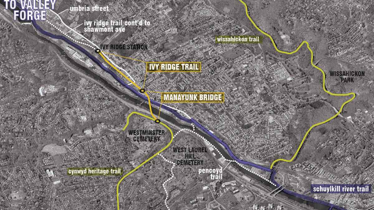
On Wednesday night, project leaders and residents of both Philadelphia and its surrounding suburbs gathered in Manayunk for the last of three public meetings regarding the proposed Ivy Ridge Trail. Utilizing an inactive rail bed, the shared-use recreation trail will begin at the end of the Manayunk Bridge at Dupont and High streets and will continue for six-tenths of a mile to SEPTA’s Ivy Ridge regional rail station.
In addition to connecting with the Manayunk Bridge project, the Ivy Ridge Trail will serve as a paved pathway for walkers and bike riders looking to connect with the section of the Schuylkill River Trail that ultimately leads to Conshohocken and beyond.
The estimated cost for the trail is approximately $3 million.
Access points
For project leaders, the trail’s design is broken down into four areas, each with unique characteristics. Common to each is a combined 16-foot wide bicycle and pedestrian pathway, with landscaping at the sides and two-foot wide soft-surface buffers in between for use by joggers. Concrete and asphalt will be used for the shared-use path on the trail, as maintenance vehicles will still need to access the overhead catenary wires, which are still in use by PECO and Amtrak.
WHYY is your source for fact-based, in-depth journalism and information. As a nonprofit organization, we rely on financial support from readers like you. Please give today.


