High risk of rip currents Wednesday

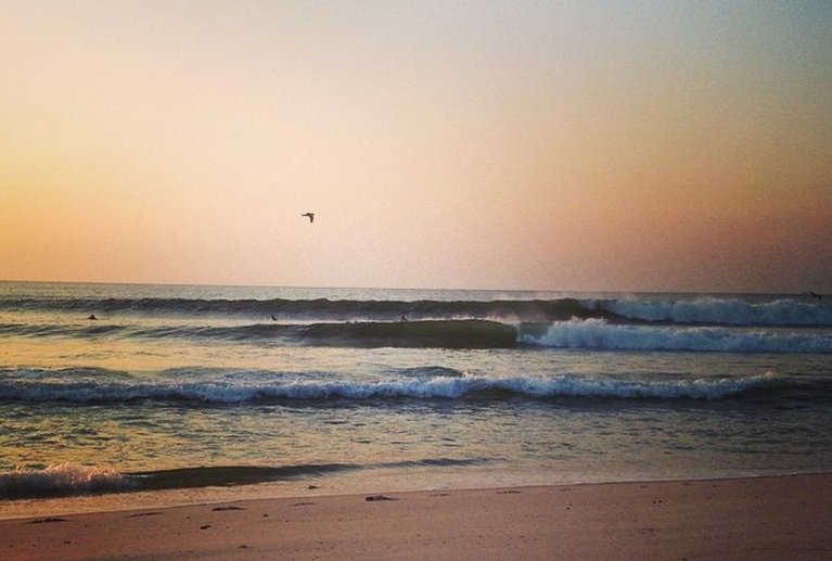
Wednesday morning in South Seaside Park. (Photo: JSHN contributor Kristin Asay)
Long period swells from departing Tropical Storm Bertha continue to impact the Jersey Shore.
A high rip current risk is in effect through Wednesday evening, according to a National Weather Service bulletin.
“Conditions should improve gradually late today as Tropical Storm Bertha continues to move to the northeast and father away from our region,” a National Weather Service forecast discussion advises.
Breakers are in the three to five foot range, with occasionally higher waves.
“A high risk of rip currents implies that wind and/or wave conditions will support the development of very strong rip currents. These rip currents will be life threatening to anyone who enters the surf,” the bulletin advises. “Rip currents are powerful channels of water flowing quickly away from shore, which occur most often at low spots or breaks in the sandbar and in the vicinity of structures such as groins, jetties and piers.”
“Heed the advice of lifeguards and the beach patrol. Pay attention to flags and posted signs.”
WHYY is your source for fact-based, in-depth journalism and information. As a nonprofit organization, we rely on financial support from readers like you. Please give today.

