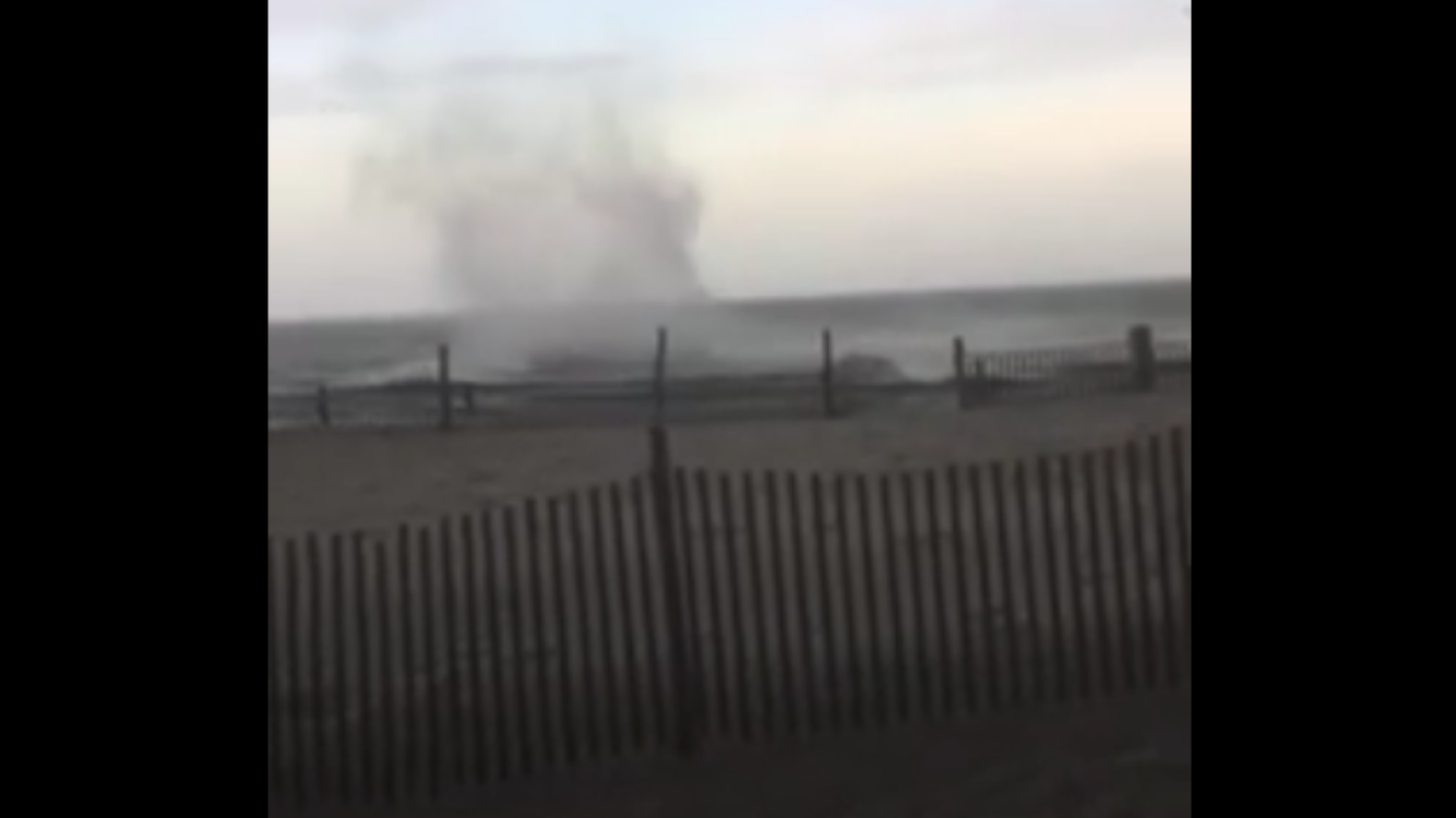
NWS: ‘Gustnado’ likely over ocean in Long Beach Island

(Image: Screenshot from JSHN contributor's Lisa Schlags Lardner video)
A severe thunderstorm with destructive winds ripped though southern Ocean County late yesterday afternoon, damaging power lines, trees, and personal property.
Gary Szatkowski, meteorologist-in-charge at the National Weather Service office in Mount Holly, pinned the damage on straight-line winds in excess of 70 miles per hour.
At the Shore, scattered property damage in Brant Beach, Long Beach Island was reported to the National Weather Service, including the front winds of Island Surf and Sail blown out.
Scattered debris included patio furniture, a surfboard, a small boat, and a jet-ski dock, according to the storm report. Wind damage was also reported on the western side of Barnegat Bay in the Little Egg Harbor area.
Along the Barnegat Bay in Long Beach Island, a video captured what some have referred to as a waterspout or tornado approaching land, although Szatkowski said the footage appears to show something different.
“With the water moving from left to right, it’s more likely a downburst,” he said.
According to wikipedia.org, a downburst is “a strong ground-level wind system that emanates from a single source, blowing in a straight line in all directions from that source.”
Radar imagery supplied by WeatherWorks, a New Jersey-based private forecasting firm, did not indicate any rotation.
During that same thunderstorm line, JSHN contributor Lisa Schlags Lardner captured video of what appeared to be cloud circulation over the Atlantic Ocean.
After viewing the footage, Szatkowski identified the activity as a “gustnado.”
“Air really does want to swirl sometimes on very strong gust fronts,” he said. “It doesn’t qualify as a tornado or waterspout. Too brief.”
According to accuweather.com, a gustnado is “a short-lived, ground-based swirling wind that can form on the leading edge of a severe thunderstorm. Although the name comes from ‘gust front of a tornado,’ and a gustnado almost looks like a tornado, it is not considered to be one.”
WHYY is your source for fact-based, in-depth journalism and information. As a nonprofit organization, we rely on financial support from readers like you. Please give today.

