Expert: La Niña winters tend to be somewhat milder, less snowy in N.J.
Federal forecasters say a La Niña climate pattern is underway and likely to continue through the winter, but how will it impact New Jersey?

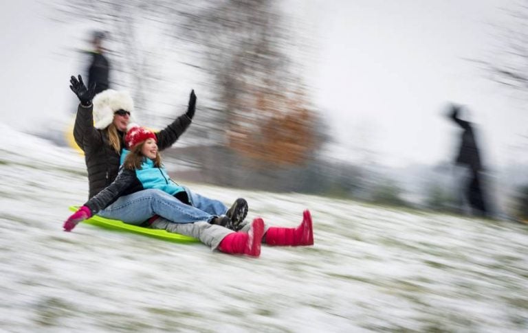
AP photo.
Federal forecasters say a La Niña climate pattern is underway and likely to continue through the winter, but how will it impact New Jersey?
It will be the second winter in a row with La Niña (Spanish for “little girl”), and NOAA’s Climate Prediction Center expects another weak pattern.
According to NOAA, La Niña is “a natural ocean-atmospheric phenomenon marked by cooler-than-average sea surface temperatures in the central Pacific Ocean near the equator, the opposite of El Niño (“little boy”).”
The typical La Niña pattern involves above-average precipitation and colder-than-average temperatures along the northern tier of the U.S. and below-normal precipitation and drier conditions across the southern tier.
New Jersey State climatologist Dr. Dave Robinson tells WHYY that while both the La Niña and El Niño impacts “tend not to be strong” across New Jersey, “there is a tendency for La Niña winters to be somewhat milder with less snow than on average.”
He explains that the storm track tends to be more through the Great Lakes and less off the Atlantic coast, which “reduces threats along the Jersey Shore.”
But Robinson cautions that forecasters deal with probabilities, not certainties.
“For instance, the La Niña winter of 2010-2011 had above average snowfall, and it only takes one powerful storm to harm coastal areas,” he said.
WHYY is your source for fact-based, in-depth journalism and information. As a nonprofit organization, we rely on financial support from readers like you. Please give today.


