Blizzard Watch up for Shore areas away from the immediate coast

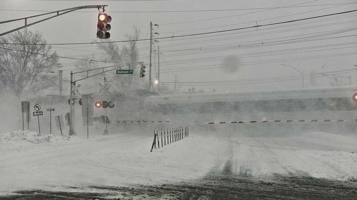
Red Bank in February 2010. (Photo: Jazz Guy via Flickr | flickr.com/photos/flickr4jazz)
The National Weather Service has issued a Blizzard Watch for most of the Jersey Shore.
The Blizzard Watch does not include areas along the immediate coast and Cape May County, where a Winter Storm Watch continues.
The purpose of the watch is to alert the public to the potential for blizzard conditions between Friday night and Sunday morning. NOAA defines a blizzard as the following conditions for three hours or more:
Sustained wind or frequent gusts to 35 miles an hour or greater and considerable falling and/or blowing snow (i.e., reducing visibility frequently to less than ¼ mile).
Accordingly, a blizzard does not mean extremely heavy snowfall, although the National Weather Service is currently forecasting the potential between 6 and 14 inches of snow for Shore areas away from the immediate coastline.
The forecasters expect sleet to mix with rain at the coast, cutting down on snow accumulations, and northeast winds gusting up to 55 miles per hour (the highest at the coast).
The snowfall will overspread the area from south to north primarily after the Friday evening commute, continuing to be heavy at times into Sunday morning, according to the National Weather Service.
Forecasters expect the highest potential for blizzard conditions on Saturday.
Coastal flooding remains a threat. Read more here.
WHYY is your source for fact-based, in-depth journalism and information. As a nonprofit organization, we rely on financial support from readers like you. Please give today.

