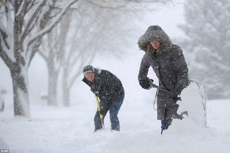
7 years ago today, a blizzard began cranking at the Jersey Shore

AP photo.
The first of multiple blizzards during the winter of 2009-2010 started impacting the Jersey Shore seven years ago today.
The low pressure system formed in the Gulf of Mexico on Dec. 16, tracked up the Eastern seaboard as an intensifying nor’easter, and struck New Jersey for two days beginning Dec. 19.
Bands of snow began moving onshore at the Jersey Shore on Saturday morning, becoming heavier during the late afternoon and evening hours as the system strengthened, according to a National Weather Service storm history report.
The system began departing the area the following day but not before up to two feet of snow fell.
Snowfall totals ranging from 20 to 25 inches were recorded in central Ocean County and 10 to 20 inches in Atlantic County, dropping to 10 to 15 inches in Monmouth County, according to the National Weather Service report.
With temperatures in the 20s for most of blizzard, the snow was light and fluffy. Winds up to 25 miles per hour reduced visibilities as snow was blowing and drifting.
Isolated power outages were reported. There were no fatalities.
WHYY is your source for fact-based, in-depth journalism and information. As a nonprofit organization, we rely on financial support from readers like you. Please give today.

