Why forecasting weather for the Philadelphia area is so hard to do
Listen
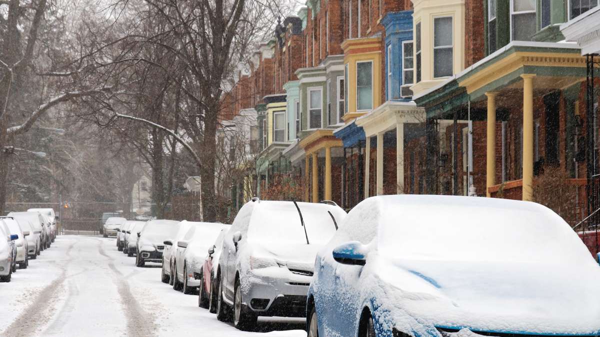
(Bas Slabbers/for WHYY)
Many are calling this week’s hyped up weather forecast a blizzard bust for the Philadelphia region. So what happened?
Tom Thunstrom, editor and co-publisher of phillywx.com, joined us this week to talk about what goes into forecasting and why, sometimes, it can all go so wrong.
For starters, he says, this was a difficult forecast to begin with.
“You were dealing with an Alberta clipper, which is a low pressure center that originates in Alberta and moves relatively quickly,” he says. “When it hits the coast, sometimes these lows intensify, sometimes rather rapidly. This was one of those scenarios where it was supposed to intensify quite rapidly, but because of the track of the low, it didn’t quite intensify fast enough to put snow into our region.”
In addition, forecasters in the Philadelphia area always have the increased difficulty of trying to predict weather for this specific region.
“Being less than 50 miles from the ocean in Philadelphia is another factor you have to look at because if a low pressure center tracks relatively close to Philly, you get the influence of the Atlantic Ocean, milder air gets drawn into a storm and what may be snow ends up as rain or freezing rain,” Thunstrom says. “It makes it more difficult than some other places where it doesn’t snow as heavily, but it snows consistently.”
There are about 5 major computer models providing storm information for forecasters.
“Think of it as playing Sims, only you’re using actual surface data and upper atmospheric data,” he says. ” It gets crunched into a super computer and spits out a simulation of what’s going to happen over a period of hours, days or weeks. “
Some computer models tend to perform better than others. One computer model, the European model, was predicting 24 inches of snow on Saturday afternoon, 15 inches of snow by Sunday afternoon and by Monday morning, it was down to nine inches.
“So there was a clear trend that the snowfall totals were not going in a favorable direction,” Thunstrom says.
As for what we can expect for the rest of the winter in the Philadelphia region, Thunstrom says we have a “pretty decent window of opportunity” when it comes to snow in February.
“It’s going to be colder next week and it matches up statistically with when we get our most snow,” he says. “Between now and the last week of February is historically our most snowy period on average.”
WHYY is your source for fact-based, in-depth journalism and information. As a nonprofit organization, we rely on financial support from readers like you. Please give today.


