Calculating sea level rise predictions and measuring the impact close to home
Listen
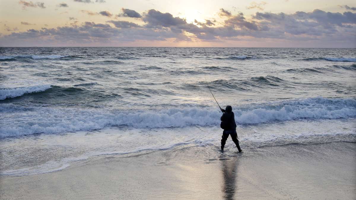
As the sun rises
New Jersey must take sea level rise predictions into account when rebuilding after Superstorm Sandy – but how are those predictions created?
New Jersey must take sea level rise predictions into account when rebuilding infrastructure projects after Superstorm Sandy. That’s one of the terms set by the federal government to release the second wave of recovery funds — $1.4 billion for the state. But that begs the question — which sea level rise predictions should be used? And how are these predictions created anyway?
There are three main approaches to create sea level rise predictions, says Ben Strauss, the director of the Sea Level Rise program at the nonprofit Climate Central.
The most simple approach is to measure past increases in sea levels and project them into the future keeping the rate of increase consistent. But the vast majority of scientists agree that these increases won’t follow a linear progression because the more the climate warms, the faster seas will rise.
The second approach, then, is to study the historic relationship between global temperatures and the rate of sea level rise.
“It turns out, there’s a pretty nice relationship,” says Strauss. “So, that approach says let’s just project that relationship forward. The warmer it gets, the faster sea level rises.”
The third approach yields the most accurate results, but it’s also the most complicated.
“We take up these projections of warming and we add up the key components,” explains Strauss.
Components include the fact that warming oceans expand, as well as melting ocean glaciers and ice sheets in Greenland and Antarctica. The third approach studies all these different changes and figures out how each piece will impact sea level.
Local impact
Then, scientists seek to localize predictions, to figure out where the water will rise, when, and how it will impact people and communities.
“You know, when you think about sea level, you cannot think of it as like a bathtub,” explains Ben Horton, a professor at the Institute of Marine and Coastal Science at Rutgers University. “You don’t just turn on the tap and the water rises the same everywhere. It’s very, very spatially variable.”
To understand how sea level rise might impact a particular location, scientists will research whether local land masses are rising or falling. For instance, land in the mid-Altantic region, including New Jersey and Delaware is sinking, which will heighten the effects of rising seas.
Ocean circulation and gravitional pull will also effect the amount of sea-level rise in a given area.
For example, warm salty water moves up the Atlantic Coast in the Gulf Stream.
“It’s a well-known physical theory that if you melt Greenland, which is exactly what we’re doing, you’ll get a large amount of icebergs that come out of Greenland,” explains Horton. “As they flow into the north Atlantic, they hit this salty current and they freshen it up. And if they freshen it up, that would slow down the Gulf Stream, causing water to pile up along the Northeastern seaboard.”
That would mean more sea level rise for New Jersey than for, say, the Carolinas or Florida.
In addition, large masses, like Antarctica and Greenland, have a large gravitational pull.
“So the Greenland icesheet attracts water towards it,” says Horton. “If you lose mass, if you melt Greenland, that gravitational attraction is reduced and the effects from sea level rise from Greenland are felt most at the greatest distances on the planet furthest away from Greenland.”
For the Atlantic coastline, that means more sea level rise in the south than in the north, as it’s further away from Greenland.
As a result of all three of these factors, Horton and his colleagues estimate that by 2050, the Jersey Shore will see 45 cm of sea level rise, above its levels in 2000 — about 20 cm more than the expected global average.
Adding storm surges to the mix
But it’s not just sea level rise that shore residents should be worried about – it’s sea level rise combined with storm surges. The more the sea rises, the higher and more devastating storm surges will be.
“I think we’ve long made the mistake of saying, ‘Oh, ok, I project three feet of sea level rise by 2100 and here’s a map of everything below three feet,” Strauss says. “And nothing could be further from the truth.”
“Storm surges, they have a baseline and that baseline is sea level,” agrees Horton. “And sea level has been rising in the 20th Century.”
While it’s still very early in terms of the number of people actually using these predictions, Strauss and Horton hope that it will eventually become the norm for people or local municipalities to consider sea level rise estimates whenever they look to build by the coast.
How much will the water rise in your favorite coastal areas and which homes and businesses are in danger from increased flooding? Here are some tools to help you investigate:
WHYY is your source for fact-based, in-depth journalism and information. As a nonprofit organization, we rely on financial support from readers like you. Please give today.


