Strong to severe storms possible Tuesday afternoon, evening

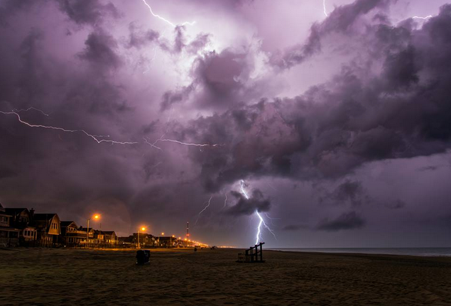
A thunderstorm over Manasquan last Friday evening by Tom Lozinski Photography.
A cold front will drop southwestward from New England and deliver unsettled weather later in the day, forecasters say.
Partly cloudy skies and a hot, humid air mass dominate early Tuesday, serving to trigger storms later in the afternoon into the evening hours.
“Some of these storms are likely to be strong to severe and could feature hail, strong winds, and dangerous lightning,” says John Homenuk, lead forecaster at New York Metro Weather. “Keep an eye to the sky and stay tuned for updates throughout the day.”
Once the front passes, temperatures on Wednesday will be much cooler, dropping back to the 60s, according to the National Weather Service. A mainly cloudy day with an onshore flow, there will be a chance of showers.
WHYY is your source for fact-based, in-depth journalism and information. As a nonprofit organization, we rely on financial support from readers like you. Please give today.

