Snow, icing expected Tuesday night into Wednesday; power outages possible

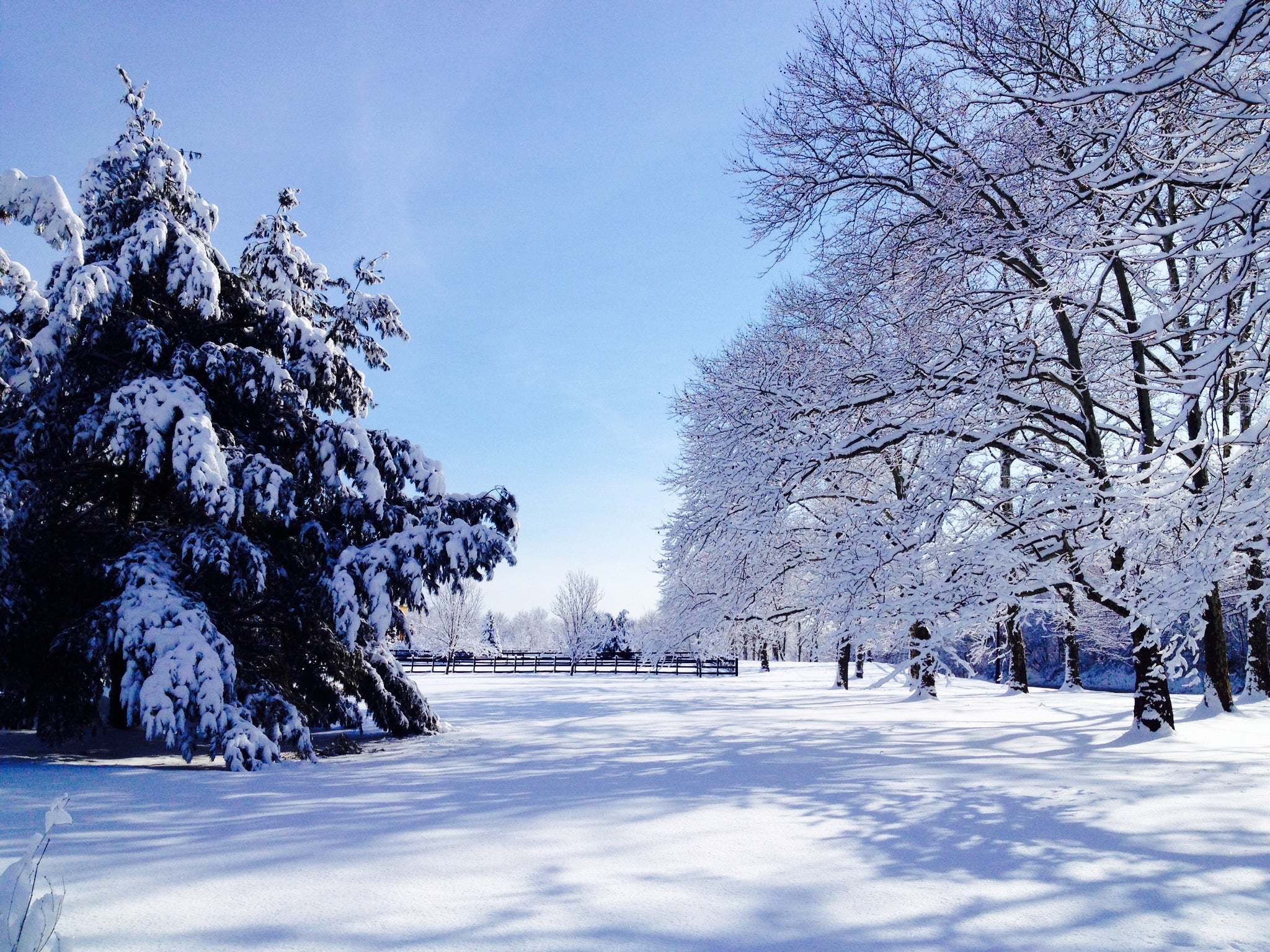
Tuesday morning outside New Brunswick, NJ. (Justin Auciello/for NewsWorks)
More wintry weather is on the way for Tuesday night into Wednesday, but this system presents different threats, forecasters say.
The primarily impact area is away from the Atlantic coast, with up to 10″ of snow in northwest New Jersey and 0.50″ of ice in portions of Hunterdon, Mercer, and Somerset counties. (Accumulation maps are available here and here.)
What’s different than the previous storm is the icing potential. Gary Szatkowski, head meteorologist at the National Weather Service office in Mount Holly, NJ, explains that many of the storms this season have overperformed, which concerns him in light of the icing threat.
In a series of tweets, he noted that the “reasonable worst case scenario” — not the official forecast — is over 0.75″ of ice.
“And how bad is icing greater than 0.75″? Some would call that catastrophic,” Szatkowski tweeted. “One ‘icing index’ describes impact as follows: ‘Numerous utility interruptions. Tree limb damage is excessive. Outages lasting 1-5 day.'”
He continued: “Again, this is the ‘reasonable worst case scenario’ I’m discussing regarding icing & its impacts, not the official forecast. But it would be disingenuous of me not to point out the ‘reasonable worst case scenario’ has already come true more than once this winter.”
Wintry weather will begin overspreading the area from southwest to northeast late Tuesday into early Wednesday. The timeline, courtesy of John Homenuk, lead forecaster at New York Metro Weather:
“Snow and winter precipitation will begin spreading into the area from southwest to northeast during the late evening on Tuesday and early morning hours on Wednesday. Precipitation which begins as snow or sleet over Southern NJ is expected to quickly transition to rain. Farther north, a period of snow and sleet is expected into the early morning hours on Wednesday. Precipitation will slowly begin to transition from sleet to freezing rain from south to north during the morning commute on Wednesday — and may be freezing rain during rush hour even in [New York City]. Near the coast and in [New York City], a transition to rain is then expected. Across the interior, precipitation will continue to fall as sleet and freezing rain, with snow confined to the well northern and western suburbs by the mid morning hours. By late morning, the transition to plain rain and drizzle is expected to push north of NYC as precipitation will then begin to wrap up after 2 p.m. throughout the area.”
Skies will then begin to clear by the late afternoon into the evening hours, with colder temperatures returning.
And if that’s not enough, there’s another potential storm for late weekend, but details remain sketchy. Stay tuned for future updates.
WHYY is your source for fact-based, in-depth journalism and information. As a nonprofit organization, we rely on financial support from readers like you. Please give today.

