Researchers to start tracking back bay flooding in Avalon and Longport
Listen
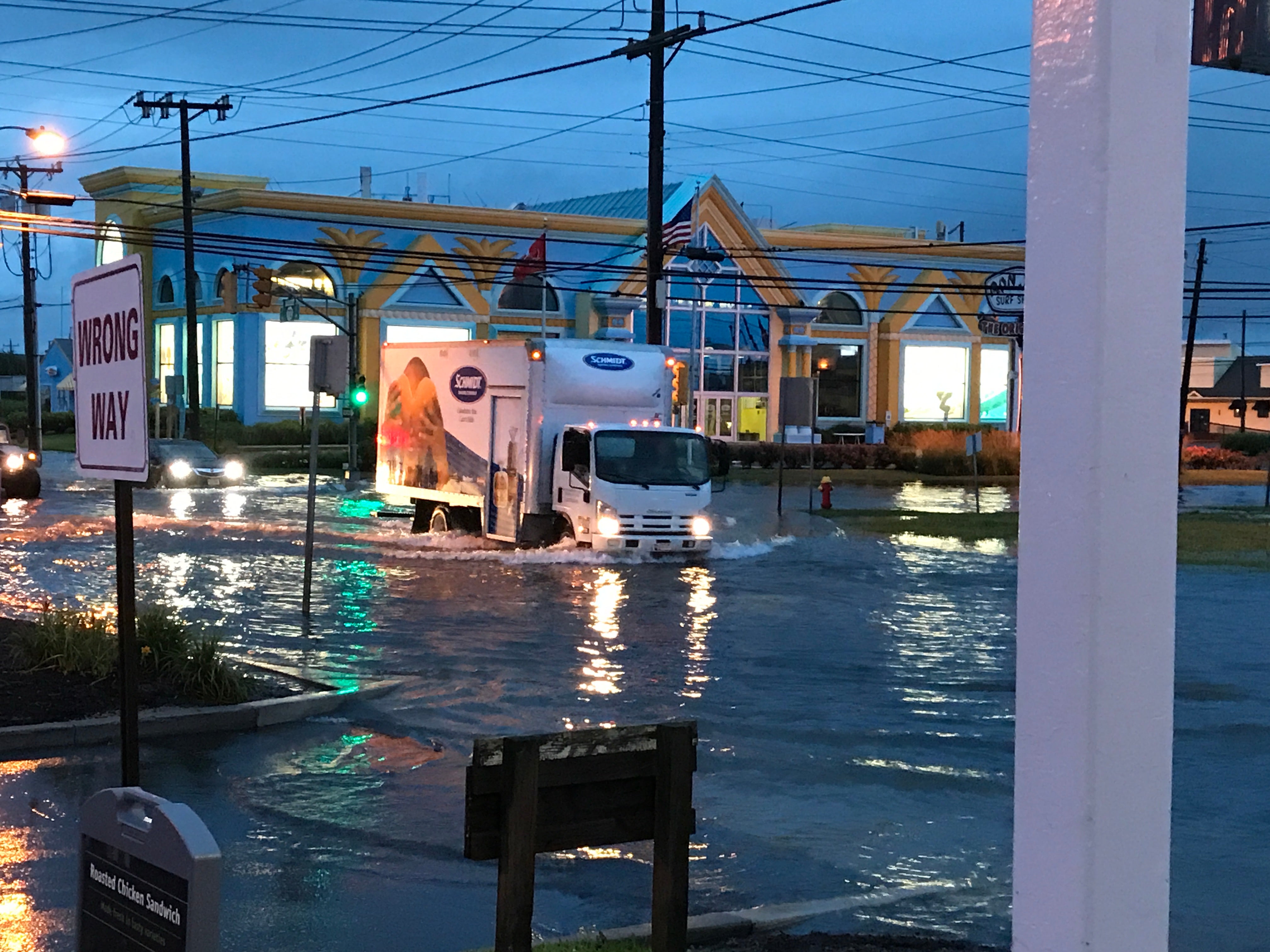
Flooding at entrance to Long Beach Island Monday. (Tom MacDonald/WHYY)
As a dune building project continues along the Jersey Shore that will create a continuous protective barrier for the coastline, a new public-private partnership is examining another danger to coastal towns: back bay flooding.
Ocean flooding along all 97 miles of the New Jersey coast is virtually under control, especially since the U.S. Army Corps began managing the beachfront, said Stewart Farrell with Stockton University’s Coastal Research Center.
However, that is not the case for the bay area, which flooded earlier this week, making it difficult to enter and exit some shore towns.
Avalon and Longport are contributing to a contract with the Stockton University Coastal Research Center that will result in the installation of water level sensors to figure out just how often the bay flooding happens and how high the saltwater rises.
“We go to the places that flood and we install a bunch of these things and basically come back once a month for six months, maybe longer and get the data off the instrument,” Farrell said.
The center will tie-in existing data collection systems (USGS and NOAA bay tide gauges and the Atlantic City Steel Pier ocean coast gauge) to determine relationships between the open coast wave and tide dynamics, as well as any relationship between water levels on the oceanfront and those appearing along the bay shore stations.
WHYY is your source for fact-based, in-depth journalism and information. As a nonprofit organization, we rely on financial support from readers like you. Please give today.


