Philadelphia seeks to heal old Eastwick wound with a ‘village in the city’
Philadelphia’s ‘road map’ for Eastwick development moves a process 60 years in the making forward.

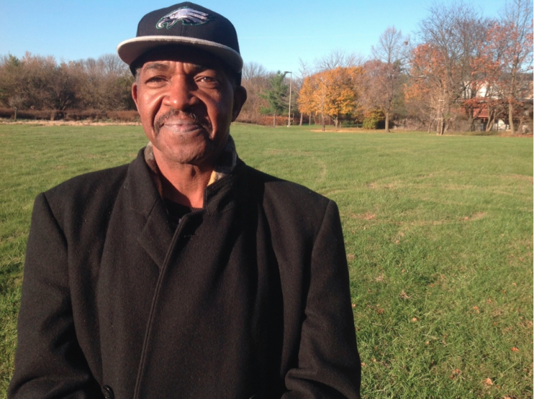
Terry Williams standing in one of Eastwick's polluted, urban renewal tracts. (Troubled Waters Project)
This article originally appeared on PlanPhilly.
—
More than 60 years after a failed urban renewal project in Eastwick displaced 8,636 people for development that never happened, city officials have released final recommendations to turn the resulting vacant land into a “village in the city.”
Yet the final release of a 94-page feasibility study that took over two years of intense and productive collaboration between the city and the community feels like just the starting point of a long-term project, residents involved in the process say.
“[The study] is a great beginning, a wonderful road map,” said Terry Williams, a longtime Eastwick resident and chair of the Lower Eastwick Public Land Study steering committee. “But it’s not comprehensive, it’s not complete.”
The study began in 2016 when the Philadelphia Redevelopment Authority commissioned a team of consultants led by Interface Studio to work with Williams and other residents to determine a shared vision for the nearly 200 acres that had sat empty since the city’s last attempt to develop it in 1961.
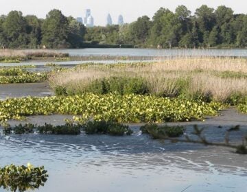
Many factors complicated the process. The consultants and the redevelopment authority had to earn back the trust of residents who had lived through decades of broken promises from public officials and developers. The Southwest Philly site — a marshy area nestled between Darby Creek and Cobbs Creek, near the airport — floods frequently, with some residents reporting flooding as many as 10 times over the past 20 years. Others live in houses that are sinking.
The study released on Monday envisions Eastwick as a “village in the city” that balances development and economic growth around a Main Street, while preserving open space for flood mitigation. The plan came out of a public process that involved three community meetings and several conversations and workshops with neighborhood stakeholders and the rest of the team — Bishop Land Design, University of Orange, Real Estate Strategies, and WSP engineers.
The study’s total cost was $254,985.
“While this strategy is a major step forward, we still have a long way to go toward implementing its recommendations,” said Gregory Heller, the redevelopment authority’s executive director, in a release issued on Monday. “Our promise to the community is that every step will continue to engage and empower the residents of Eastwick through an inclusive process. And every step will be made with a primary focus on neighborhood resilience.”
‘More work to do’
Williams said the next hurdle is a number of land composition and hydrology studies to address the community’s biggest concern: flood mitigation.
After the presentation of a draft report released last July, many residents and experts expressed concerns about building on land prone to taking on water. The biggest concerns lie in the possible light industrial developments south of 86th Street, on the biggest parcel of available land bounded by the John Heinz National Wildlife Refuge, 86th Street, Lindbergh Boulevard, and Mario Lanza Boulevard. Residents fear development in that area would be detrimental.
“We have to be very mindful of the vulnerabilities to flooding as a result to climate change,” said Williams.
The Philadelphia Redevelopment Authority received 25 emails, three formal letters, and 22 handwritten comment forms during a 90-day public comment period, according to the agency. Seventy percent of the feedback came from people living in the neighborhood, PRA officials said.
The study acknowledges that much of the input stemmed from fears that development would exacerbate flooding conditions in the residential area. In response, the PRA promised to “develop responsible land use solutions that do not increase the impact of flooding in Eastwick,” according to the study.
Interface Studio’s principal Scott Page said that the feasibility study recommends further inquiries including site surveys done by engineers, geotechnical borings, wetland studies and other modelings.
“There are a number of things that are feasible in these sites with the current information we have,” Page said. But “there’s more work to do.”
WHYY is your source for fact-based, in-depth journalism and information. As a nonprofit organization, we rely on financial support from readers like you. Please give today.


