Philly’s sweltering heat to get real-world measurement this summer
Federal agencies mapping the nation’s heat island effects will help Philadelphia measure just how hot it really is this summer.

(duangdaw/BigStock)
Dozens of Philadelphians will be fanning out across the city on one of the worst dog days of summer this year to measure the true impact of heat on residents. The federal government has teamed up with the Academy of Natural Sciences to gather both temperature and air pollution data as part of a nationwide program to map the urban heat island effect in some of the country’s hottest neighborhoods.
The National Integrated Heat Health Information System is a project created by the Centers for Disease Control and Prevention and the National Oceanic and Atmospheric Administration. Since 2017, it has helped several dozen cities nationwide prepare residents for rising temperatures caused by climate change. This year, Philadelphia will be one of 16 participating cities, which include 14 in the U.S., as well as Freetown, Sierra Leone, and Rio de Janeiro.
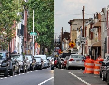
The heat island effect refers to the impact of hard concrete and asphalt surfaces that can worsen hot spells by radiating the heat back into the atmosphere. Trees, on the other hand, help mitigate the impact of a warming climate.
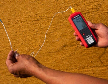
Current policies are often guided by surface temperatures recorded from satellites. That means some of the hottest areas in a city could end up being a parking lot at a big box store, or at the airport, for example. But using car-mounted measuring devices, residents will be trained to gather heat data that includes humidity in some of Philadelphia’s neighborhoods where atmospheric temperatures can soar 10 to 15 degrees higher than in other parts of the city.
“So that really is the heat that hits you when you walk out your door on a hot summer day,” said Richard Johnson, director of community science at the Academy of Natural Sciences.
Johnson says “community science” is a relatively new field that taps residents at the neighborhood level to guide scientific research into issues impacting their lives. He hopes to recruit and train about 50 people to gather the data, which will help the City decide where new trees or green spaces are most needed.
“In this case we are focused on engagement,” said Johnson, “and supporting the work around heat.”
He says the instruments will also measure air pollutants including particulate matter and soot. Some of the same neighborhoods suffering from the heat island effect also experience high levels of air pollution.
“Perhaps we could be missing some areas of the city, particularly environmental justice communities that may be experiencing air quality issues,” he said. “So this will give us a snapshot to see if some of those issues that communities [say they have experienced] are in reality playing out,” he said.
More extreme heat is expected to result in more climate-related illnesses and death from greater respiratory ailments, heat stroke, and heat exhaustion. Increased use of air conditioning will also add to the amount of greenhouse gas emissions, while trees and green space will help cool areas and mitigate the impact of climate change.
WHYY is your source for fact-based, in-depth journalism and information. As a nonprofit organization, we rely on financial support from readers like you. Please give today.


