Penn planning students study the removal of expressways in six North American cities
A group of 19 city planning graduate students at the University of Pennsylvania spent the semester studying six North American cities with expressways passing through them, and concluded each locale would be better off removing at least some portion of those highways.
But the students also determined that large-scale change across the United States and Canada was unlikely without changes in federal policy and citizen mindset.
Currently, transportation funding isn’t very transparent, according to students at the Highway Tear-down Studio final presentation Tuesday. Highways seem to be free, because they are, for the most part, paid for with tax dollars. But they are not free, said student Joshua Karlin-Resnick. In fact, the United States will have to spend $2.5 trillion dollars to repair aging interstate infrastructure over the next 50 years. This should not be done without thinking through all the possibilities first, he said. The students concluded an information campaign is needed to educate the public about the true cost of highways – both monetary costs, and social and environmental impact, such as increased air pollution.
The gas tax doesn’t raise enough money to take care of transportation needs, and the class suggested that it be raised, and that tolling be legalized on all roads – something that would not only raise money, but make motorists more aware of the cost of highways. It was suggested that cities charge motorists for driving into congested areas and also charge them more to park. Other ideas included incentives for employers who locate near mass-transit and homeowners who buy within an urban area.
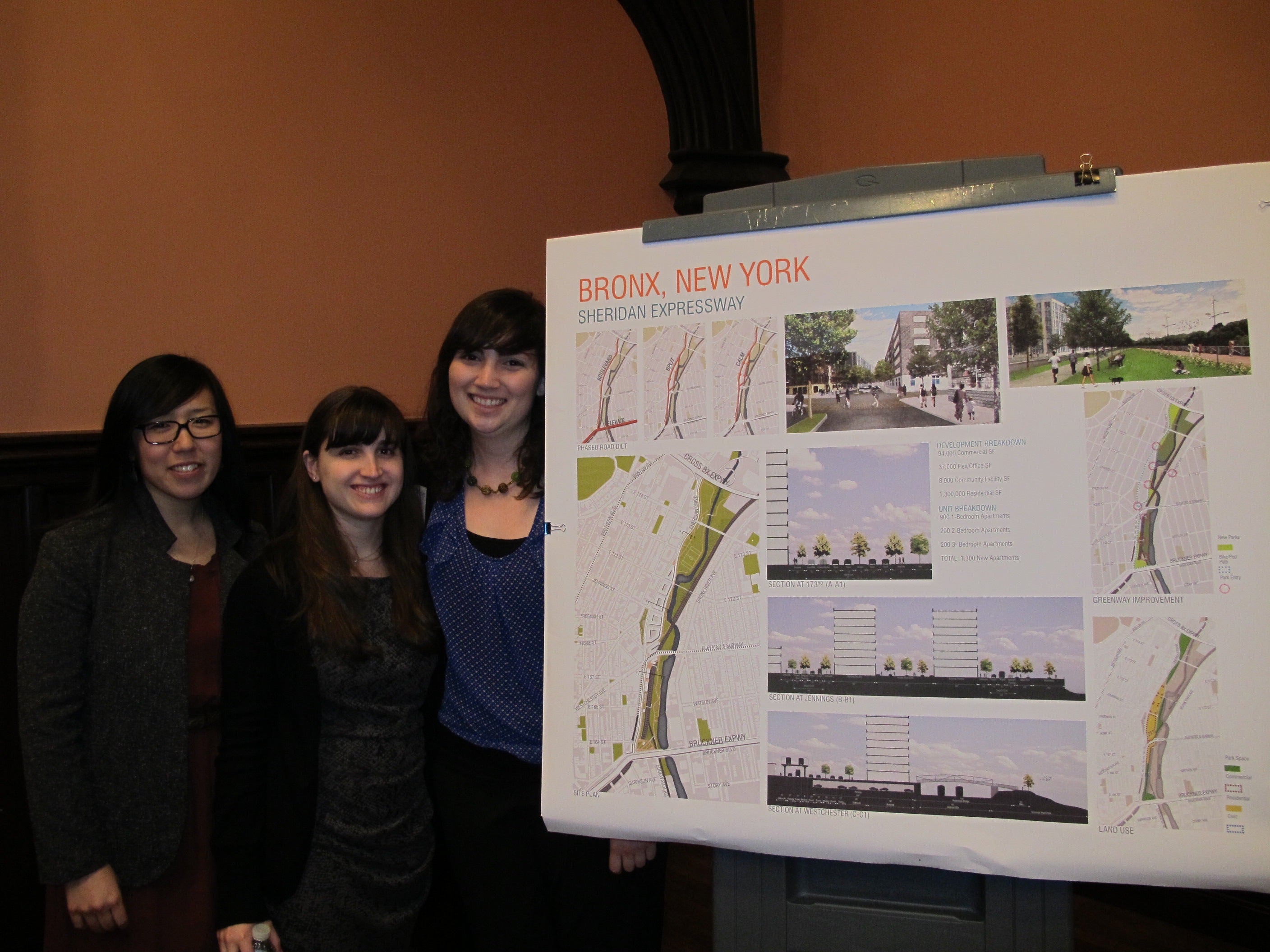
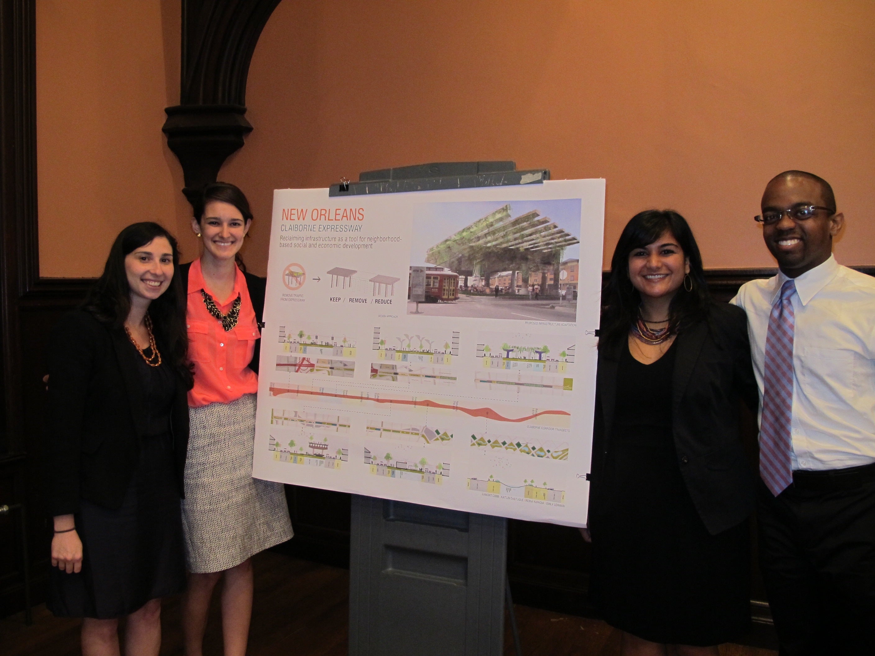
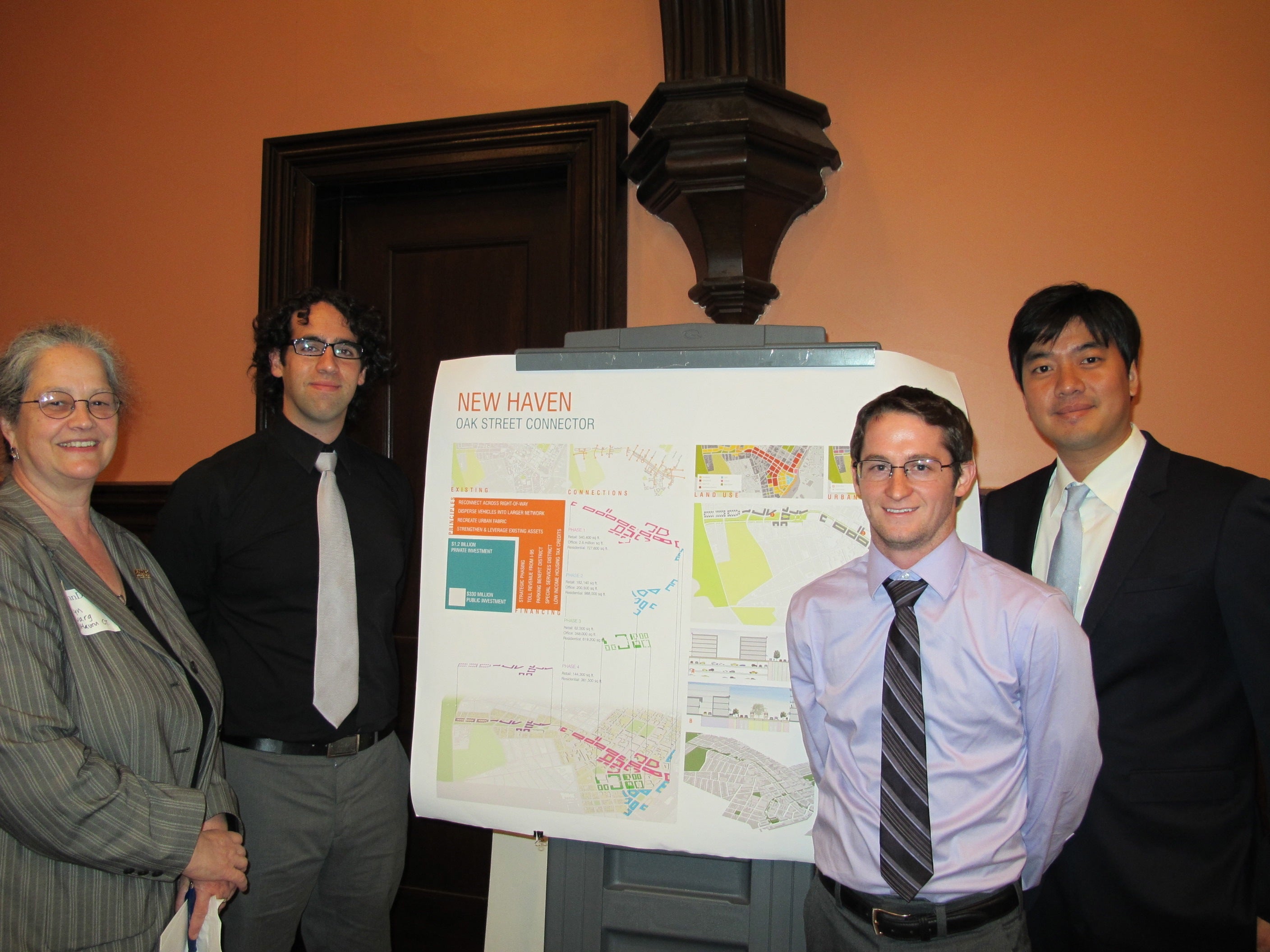
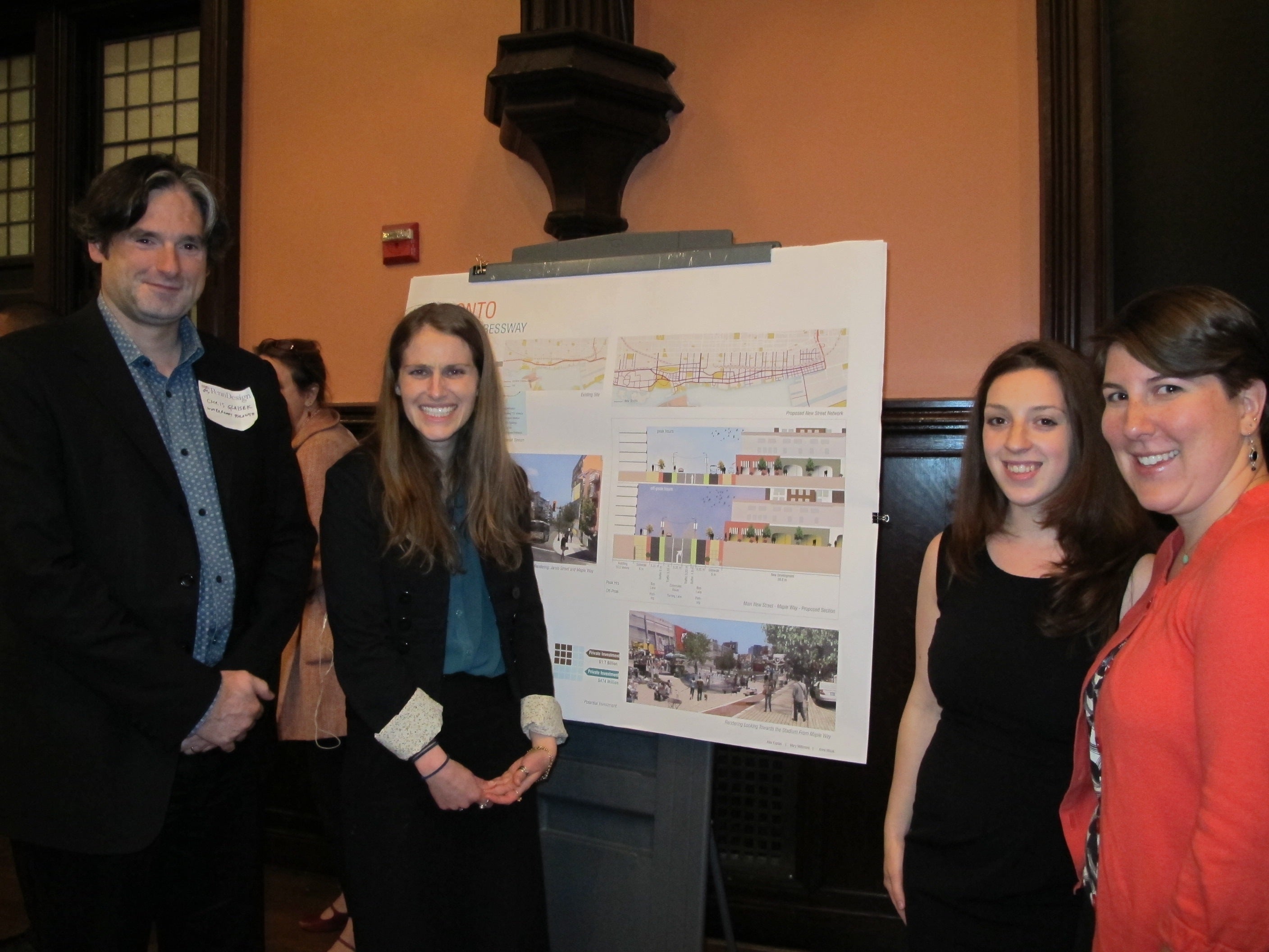
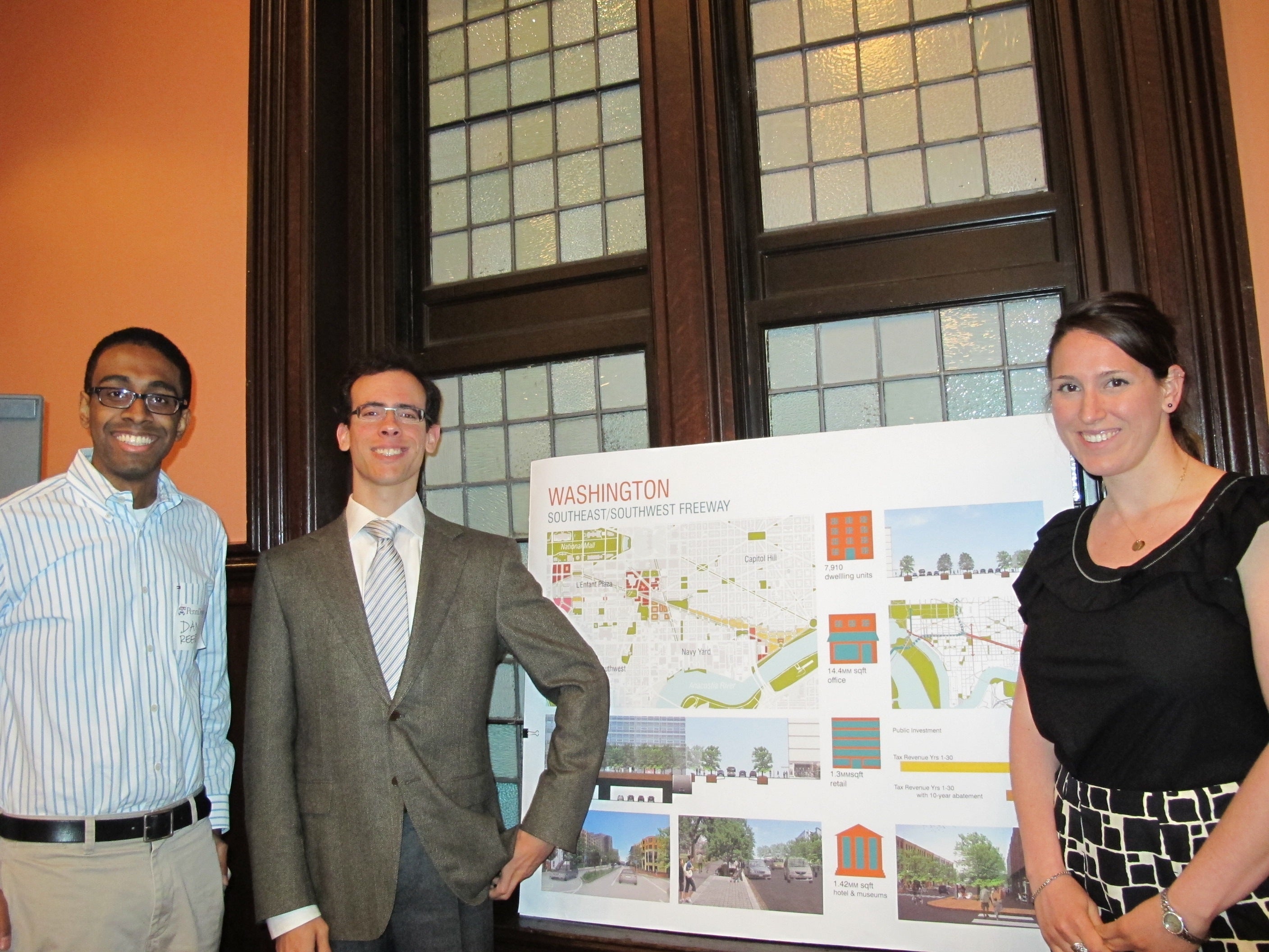
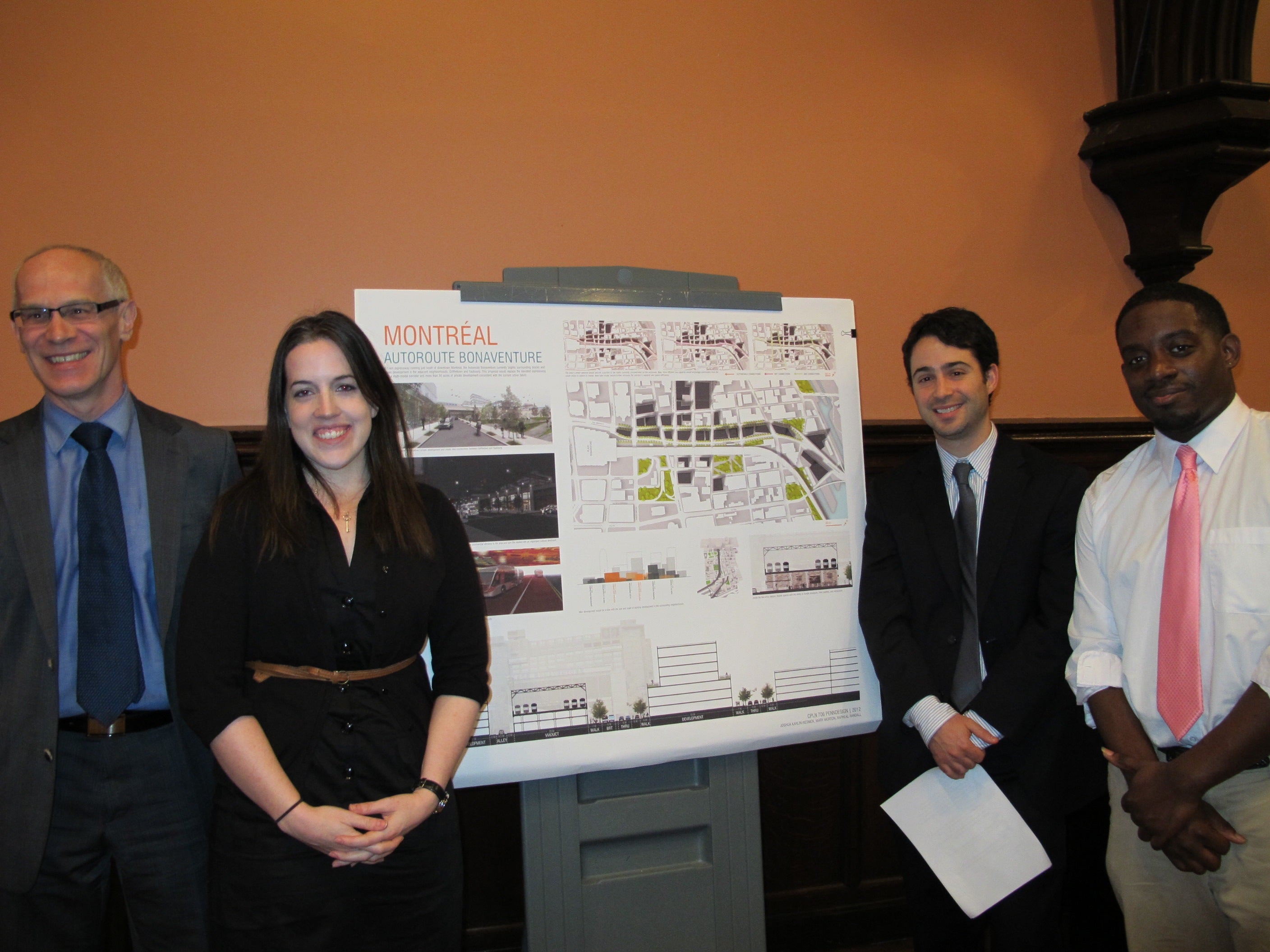
The students considered circumstances in Washington, D.C.; Toronto, New Orleans; Bronx, NY; New Haven, CT; and Montreal. Click on each city’s name to see and hear the students’ ideas for that city. During the semester, the students worked with professionals involved in the highway discussion in their city, and representatives from all locations except New Orleans saw the unveiling of the students’ plans.
Each city has its own set of highway issues and prospective solutions, but the students’ presentations described similarities.
An introduction and overview of the urban highway question.
The highways were built largely to move goods as well as people, and in several cases, local industries consider the highways a valuable shipping asset and don’t want to lose them.
The highways are physical and psychological barriers that keep people from moving between neighborhoods, or between their city and a body of water or other amenity. In some cases, the students said development was strong on one side of the highway, but weak on the other side.
The highways are taking up real estate that could be used for another purpose or purposes, including building sites for new homes or commercial buildings, parks and green space or mass-transit.
Stacy Wood of the National Capital Planning Commission was among the contingent from Washington. He was intrigued by the part of the D.C. presentation that showed the land left exposed by removing portions of I-395 and I-695. There is a building-height cap in place in Washington, so that buildings don’t compete with the Capitol dome and other structures, he said. “What this does is open up additional real-estate for development,” he said. Wood said D.C. has been looking at this issue for many years, but money has not been available to tackle the project.
For anyone who has been following the quest to re-tie Philadelphia’s riverward neighborhoods to the Delaware River, the urban highway issues the students identified may sound familiar. Harris Steinberg, one of the class instructors, said Philadelphia was not selected for the studio project because circumstances here don’t meet the criteria. Each of the cities that were selected “are in some phase of actively considering removing a highway,” he said.
Steinberg is Executive Director of PennPraxis, the practical arm of Penn’s School of Design, which ran the years-long public input process for the city’s plan to revitalize the Central Delaware Waterfront. I-95 was viewed by both planners and city residents as a huge barrier whose construction had cut off the city from the Delaware River, and many said they’d like to see it taken down. Others, including Philadelphia Inquirer architecture critic Inga Saffron and Next American City’s Diana Lind, have called for removing at least part of the elevated highway. But the city is not discussing this in any formalized way, Steinberg said.
Steinberg said Philadelphia’s situation was often discussed in class, and he sees the studio as one way to keep the conversation about highway removal going, and perhaps take it to the next level. He noted that representatives from both PennDOT and the city’s Department of Transportation and Utilities were at the presentation. He also told his students that they and other residents can force a serious look at the future of I-95 from the ground up, through social media. “If social media can take down a dictator in the Middle East, it can certainly take down a highway in Philadelphia,” he said.
Portions of I-95 are now being repaired and enlarged through the extensive Revive 95 project. “It’s too late for portions of the highway,” Steinberg said, but the part he believes is most detrimental, between Race Street and Washington Avenue, isn’t set to be rebuilt until 2040, and that makes this an excellent time to start looking at alternatives.
The city’s long-range blueprint for riverfront improvement, the Central Delaware Master Plan, was recently adopted by the City of Philadelphia Planning Commission. It identifies key connector streets that now reach the river, and is focused on making those connections more obvious, attractive and safer for pedestrians and bicyclists with landscaping, art and lighting projects. In some cases, PennDOT is paying for or will pay for a large chunk of these connector projects as highway overpasses are redone. For example, PennDOT will rebuild the Columbia Avenue overpass in Fishtown using designs from the Delaware River Waterfront Corporation, the quasi-city agency overseeing waterfront redevelopment.
The Master Plan also calls for capping a section of I-95 and covering it with a massive green park that will connect the waterfront to Society Hill/Old City.
The students suggest policy and funding changes, and take questions from the audience.
During the post-presentation discussion, Doug Robbins, a city planner with URS Corporation, asked the students for their thoughts on Philadelphia’s highways, the Schuylkill and I-95.
Student Jordan Block said that highway solutions are very place-sensitive, and without giving the Philadelphia situation a semester’s worth of attention, he didn’t feel comfortable making a recommendation. “A one-size-fits-all approach doesn’t work at all,” he said. “Even though it seems like a wonderful idea, it might not actually pencil out when you look a little closer.” There are some situations in which a highway is needed, he said.
One of the PennDOT representatives, District 6 Engineer in Charge of Design, Chuck Davies, said everyone should remember that removing a highway isn’t just about the cost of tearing down the structure. That highway is serving transportation needs, and if it goes away, something else must meet those needs. Davies was also one of many attendees – including representatives from most of the cities whose situations were examined – who commended the students for realizing that federal policy changes would be needed to significantly change the highway system.
Steve Buckley, Philadelphia’s assistant managing director for transportation and utilities, noted after the meeting that none of the other cities are considering removing a swath of interstate as long as I-95’s passage through Philadelphia. Some of them are essentially long off-ramps, so the potential impact isn’t as great, he said.
Buckley added that if a financial analysis showed removing all or part of a highway and making any necessary improvements to take care of the transportation needs that highway filled were less than the cost of rebuilding the same roadway, an argument could be made for tear-down. “It’s got to be analyzed on a case-by-case basis,” he said.
Student Kaitlin Dastugue examined the highway issue for New Orleans. It was hard for her to be stick-to-the-facts dispassionate because New Orleans is her hometown. “This project was the most fulfilling project I’ve done in planning school,” she said.
New Orleans has a federal grant to study highway removal there, and Dastugue is hopeful that some of the work she and her team did will be considered by the city and its consultants. Her team suggested taking all the traffic off of the highway, but leaving portions of it standing to create elevated parks and performance spaces. “I hope to be a part, one day, of taking it down,” she said.
In New Haven, the Route 34 highway stub is definitely coming down, with design work now being completed for Phase I of the project, which will remove half of the stub, and send traffic onto surface roads. Student Block was on the team that considered New Haven. He described their plan as working with the city’s plan, but going further. The overall theme of the students’ vision centered on connections – eliminating the roadway, and then using corridors of green space and commercial and residential development to better-link the city, east and west, north and south.
New Haven City Planning Director Karyn Gilvargn praised the students’ work. She has long known that green space is about more than pleasant spaces in that it creates value in surrounding land, but the presentation “reinforced that,” she said.
Reach the reporter at kgates@planphilly.com.
WHYY is your source for fact-based, in-depth journalism and information. As a nonprofit organization, we rely on financial support from readers like you. Please give today.

