Map: The most dangerous places for pedestrians in each City Council district
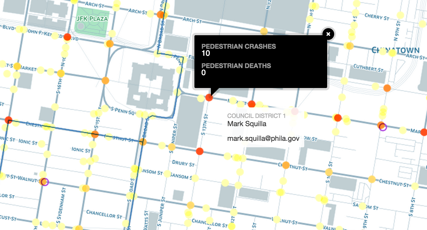
On Friday, we showed you ten of the most dangerous intersections for pedestrians across Philadelphia, along with an interactive map courtesy of Daniel McGlone at Azavea. Today, we’ll show you the top pedestrian crash locations in each of the ten City Council districts.
City Council members made this their problem back in 2012 when they grabbed control of streets right-of-way issues from the Mayor’s office. Every street change that involves repurposing a travel lane or a parking lane now requires a Council ordinance, so for better or for worse, the allocation of street space is now largely subject to the Councilmanic Prerogative tradition. Mayoral candidates can promise to support a Vision Zero approach to pedestrian safety, but their power to actually make the necessary traffic calming changes will be muted if district City Council members won’t cooperate.
Click here to see a spreadsheet of the top ten most dangerous intersections in each Council District, and read on for a description of the most dangerous intersection in each district.
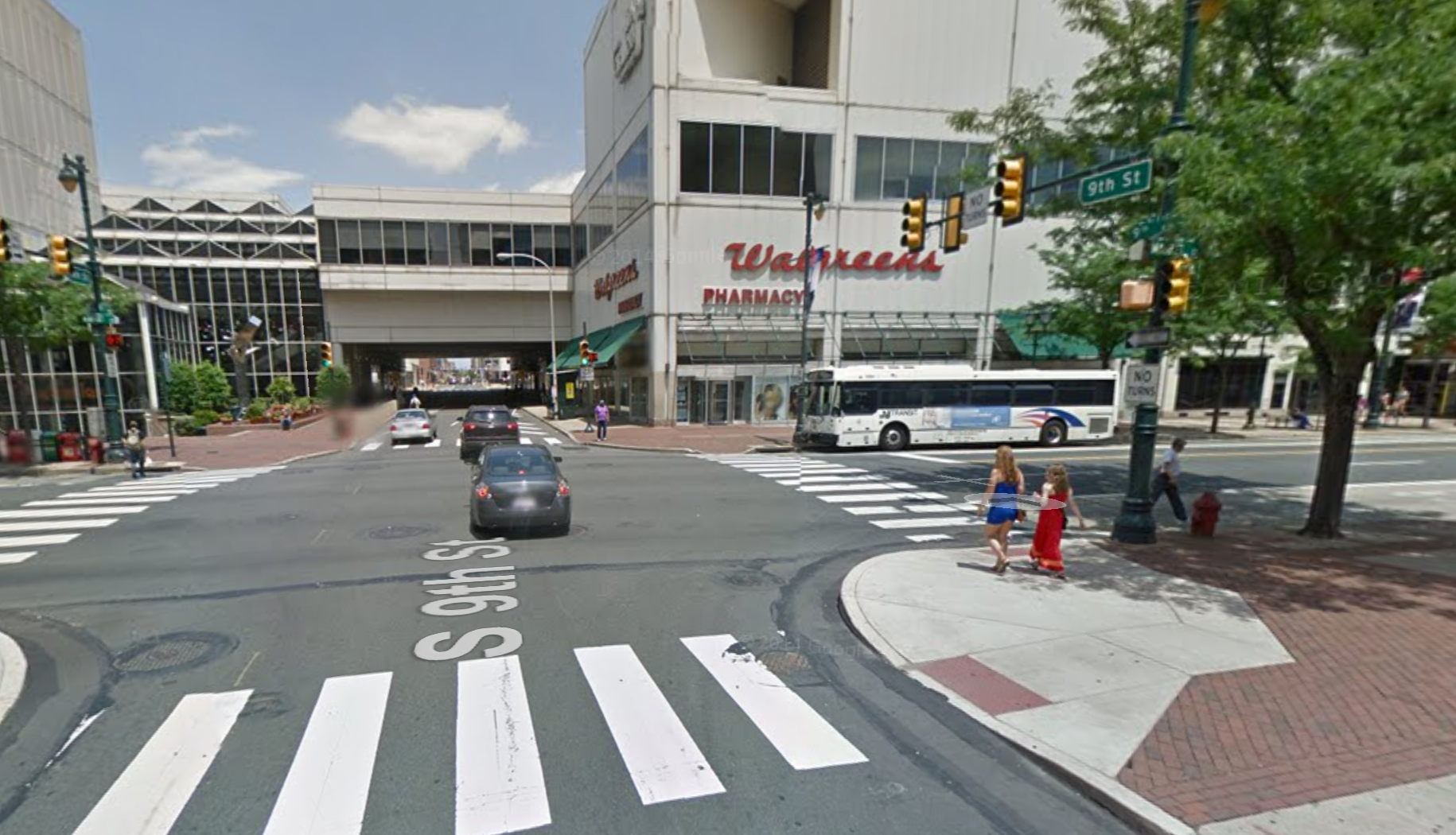
District 1 | The Gallery
The area around The Gallery mall in Councilman Mark Squilla’s 1st District saw 16 crashes between 2008 and 2013, which mostly took place around the intersection of 9th and Filbert. There were 3 mid-block crashes under the overpass at The Gallery. The impending renovation of The Gallery presents an interesting opportunity to calm traffic in this area, if the developers and the Councilman are inclined.
Broad Street is the other key problem area in the 1st District. Three of the top ten crash locations in this district were on Broad Street, at the intersections of Snyder, Vine, Race.

District 2 | Broad and Snyder
As I observed when this intersection made the top ten list last year, the median parking on South Broad obscures lines of sight, resulting in dangerous conditions for pedestrians. Three blocks south, at Broad and Ritner, it’s the same situation. Councilman Johnson and Councilman Squilla both border Broad Street, and both share responsibility for the conditions at this intersection, which are some of the most dangerous in the city.
Other key areas with high numbers of crashes in Councilman Kenyatta Johnson’s 2nd District include Chestnut Street at 17th and 22nd, and the Woodland Ave. corridor, particularly at 58th St.
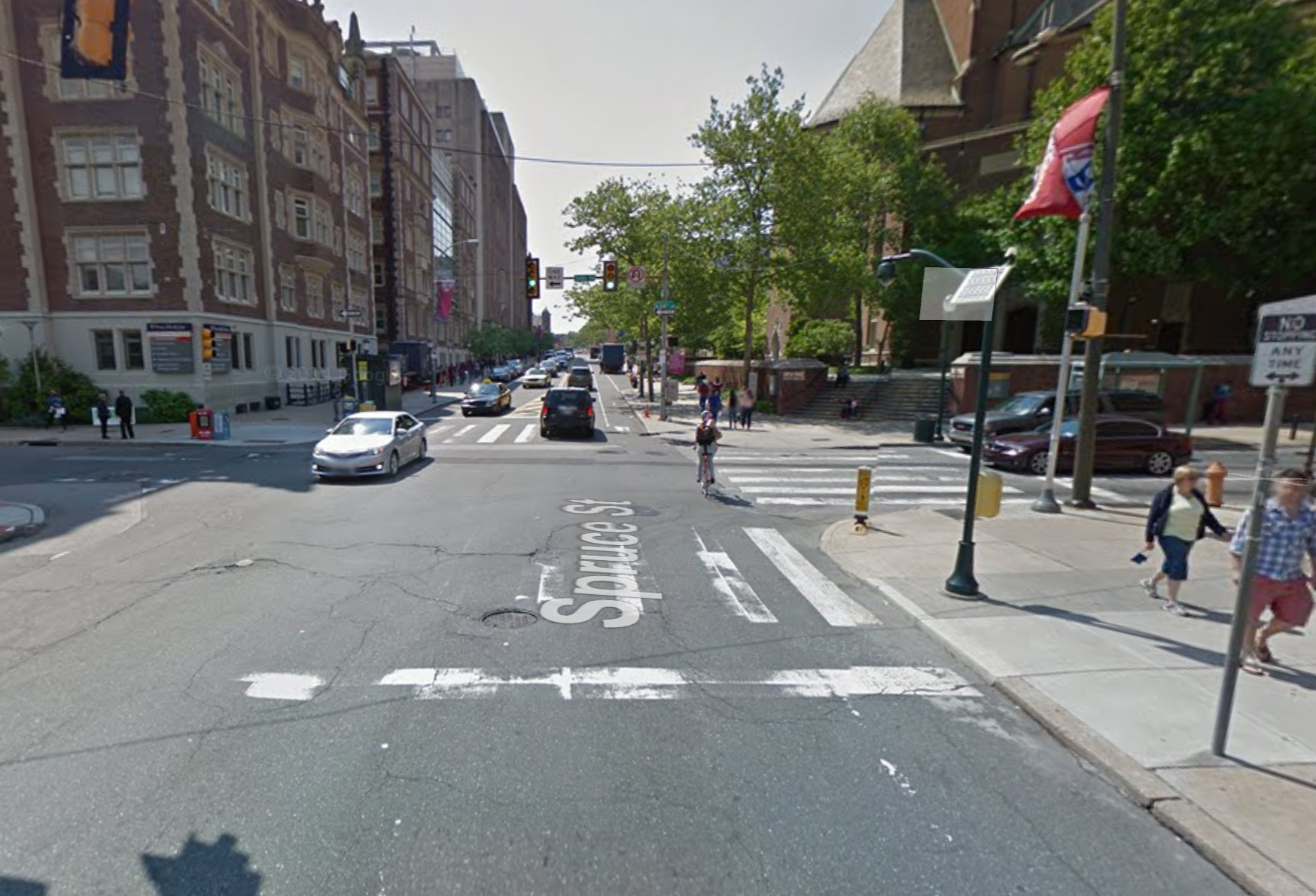
District 3 | 34th and Spruce
The intersection at 34th and Spruce in Jannie Blackwell’s 3rd District is where highway traffic coming in from the South Street bridge really starts interacting with University City pedestrian traffic. As we saw in our analysis of aggressive driving hotspots last year, it appears to take a little while for people to shift from highway driving mode to city driving mode, and many of our street designs could stand to do a better job of acclimating drivers to city driving conditions.
Other sections of Spruce and multiple intersections along 40th Street and Chestnut Street also made the top ten list.

District 4 | 56th and Market
The top crash location in Councilman Curtis Jones’s 4th District is the block between Market and Arch on 56th Street. This is near an El stop, and as you’ll see below in some of the other districts along the El, the areas around the elevated train tracks tend to be fairly crash-heavy.
Other notable 4th District crash locations include Henry Ave., at Midvale and at School House Lane.
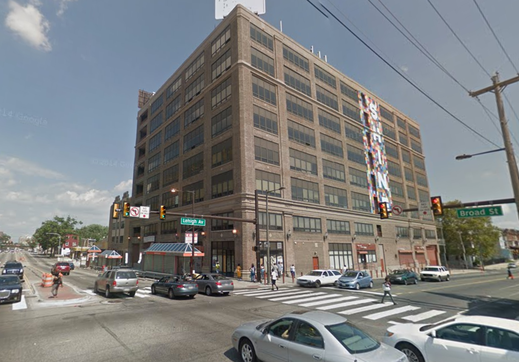
District 5 | Broad and Girard
Broad Street was by far the most dangerous location for pedestrians in Darrell Clarke’s 5th District between 2008 and 2013. Five of the ten worst intersections involved Broad, with the intersection at Girard topping the list with 15 crashes.
The second worst location was Broad and Lehigh (pictured), with 13th crashes, followed by Broad and Erie with 12. Broad, Erie, and Germantown is a particularly busy intersection bustling with commercial activity. Plans exist to create a transit plaza at this intersection by closing off a portion of Germantown Ave. to car traffic, which could bring some order to travel patterns, but it has yet to be implemented.
Two intersections on JFK and one on West Market also show up on the top ten list, which is signficant because the Central District plan calls for protected bike lanes for these streets, and the concept has already been piloted successfully. So Council President Clarke has a few opportunities to take existing plans off the shelf and calm traffic at particularly dangerous intersections in his district.

District 6 | Frankford and Cottman
We already covered the problems at Frankford and Cottman in Mayfair, which topped the list in Bobby Henon’s 6th District with 12 pedestrian crashes. The second most dangerous location was also in Mayfair, at Frankford and Rhawn, with 10 crashes.
The same streets come up over and over again on the top ten list in the 6th District. Cottman Ave is involved in five of the 10 top crash locations, and Frankford, Rhawn, and Torresdale each showed up twice on the list.
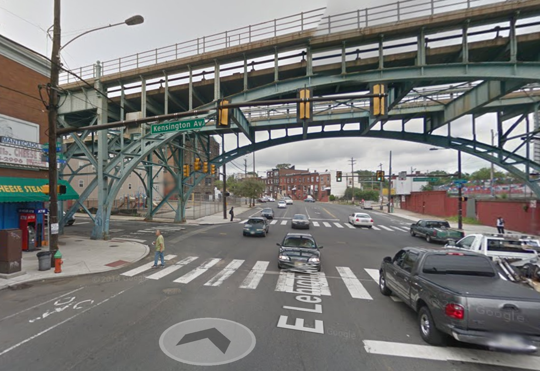
District 7 | Kensington and Lehigh
Tied for the most dangerous locations in the 7th District, represented by Maria Quiñones-Sanchez, were Kensington and Lehigh (pictured) and Kensington and Allegheny, with 11 collisions each. The intersection at Lehigh is on the border of the 1st and 7th Council Districts.
The crashes are concentrated at the intersections, and both of these intersections are under the El. The intersection at Front and Dauphin also showed up on the list of top crash locations in the 7th District, and the areas under the El are problematic throughout Fishtown and Kensington. Some of that is surely due to high foot traffic near rail stations, but it can’t help that the area under the El is poorly lit and some of the intersecting streets, like Lehigh and Allegheny, feature very wide travel lanes that encourage fast driving speeds.
District 8 | Wayne and Chelten
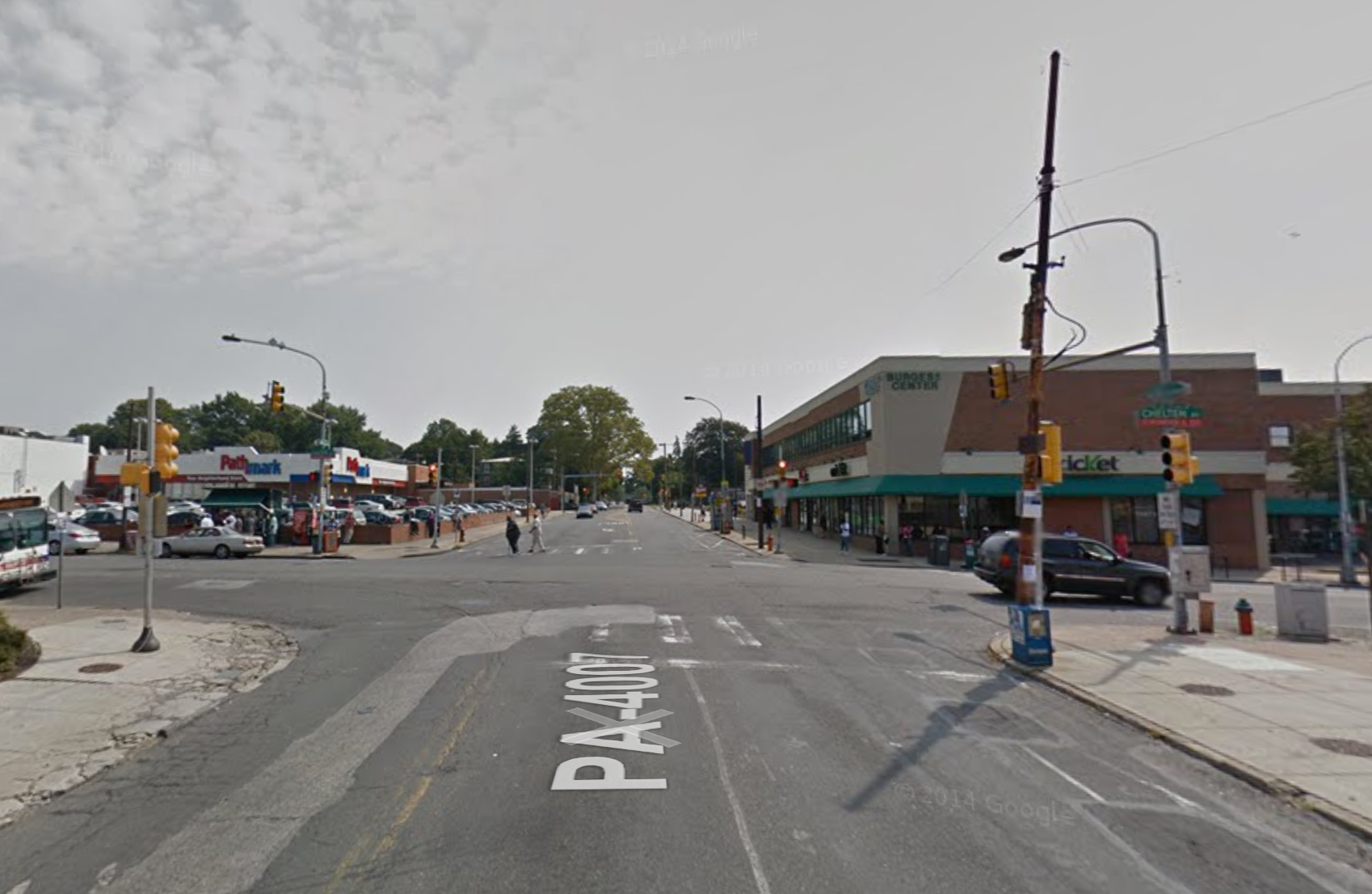
Five of the ten worst locations for pedestrians in the 8th District, represented by Councilwoman Cindy Bass, involved Chelten Ave. and with 12 crashes, the intersection of Wayne and Chelten in Germantown was the worst of all. The other problematic intersections included Germantown, Chew, Greene and Baynton.
Broad Street also showed up twice on the top 10 list for the 8th District, at the intersections of Rockland and Wyoming.

District 9 | Broad and Olney
With 22 crashes between 2008 and 2013, the intersection of Broad and Olney is one of the most dangerous citywide, and also topped the list for the 9th District, represented by outgoing Councilwoman Marian Tasco. The third most dangerous intersection in the 9th District is a block away at Broad and Chew, and the second was at 5th and Olney, which also made the citywide top 10. Click here to read about some of the issues with these places.
Since we already wrote about those intersections, we decided to highlight the 9th District’s fourth most dangerous area for this round-up, at 5th and Godfrey between East Oak Lane and Olney. The 11 pedestrian crashes in this area mostly occurred at the intersection rather than mid-block. This intersection might benefit from leading pedestrian intervals that give pedestrians a head start to cross the street when the lights turn.
District 10 | Bustleton and Verree
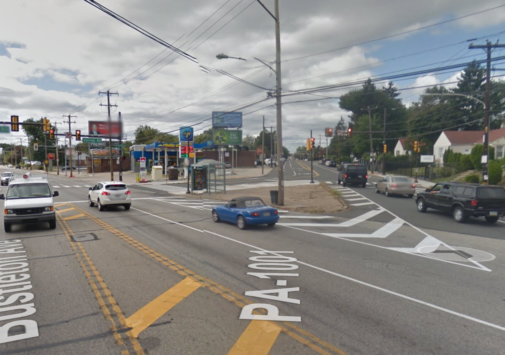
The 10100 block of Bustleton Ave in Councilman Brian O’Neill’s 10th District witnessed 9 crashes, 6 of which took place mid-block on Bustleton, and 3 of which took place at the intersection with Verree.
Four of the ten most dangerous areas for pedestrians in the 10th District involved Bustleton Ave, near Cottman, Philmont, and Parlin.
WHYY is your source for fact-based, in-depth journalism and information. As a nonprofit organization, we rely on financial support from readers like you. Please give today.

