What changes have you noticed along Pennsylvania’s waterfronts?

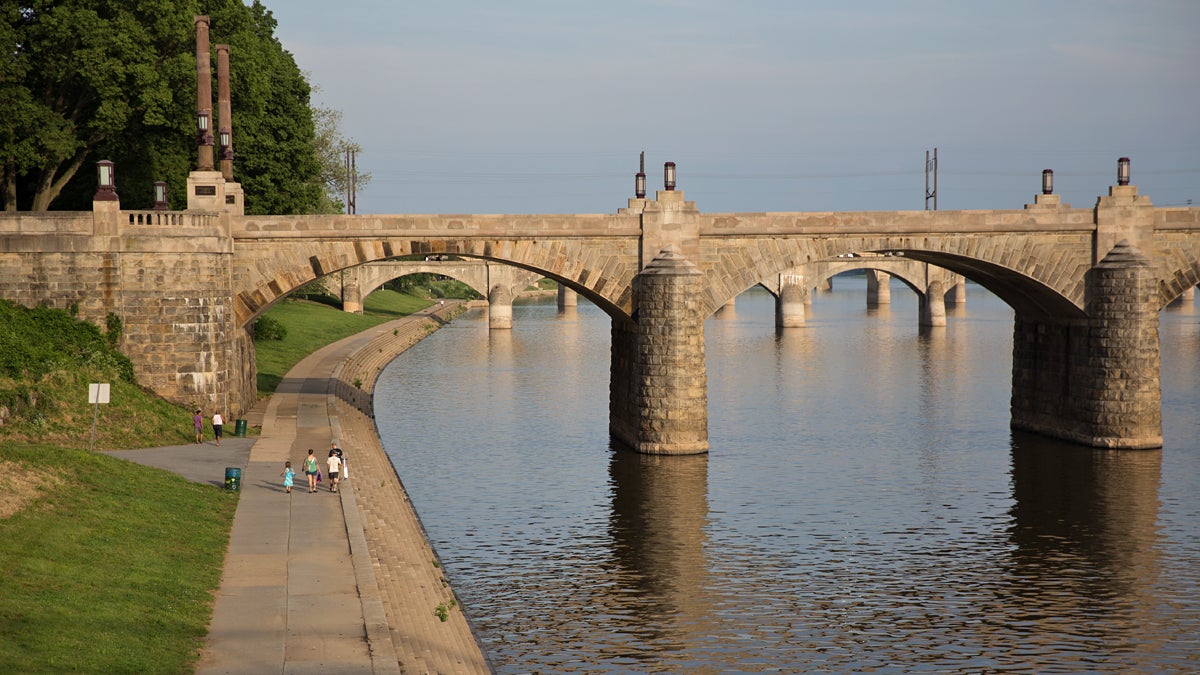
People walk along the Susquehanna River in Harrisburg, Pennsylvania. (Lindsay Lazarski/WHYY)
We’re gathering information, images, and short video clips for an interactive map documenting the state’s waterfronts and we need your help.
From the Ohio to the Delaware, Pennsylvania cities and towns were built along the states’ waterways.
In the last couple of decades, cities across the state have started revitalizing once industrial waterfronts and reconnecting residents to the rivers through recreation, parks, and even luxury housing. In an upcoming series Keystone Crossroads will explore Pennsylvania’s waterfronts, how they have changed, how industry is balanced with recreation, and some of the challenges cities face when attempting to reinvent their waterfronts.
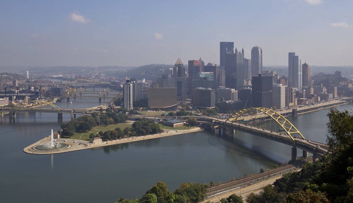
We’ll look at the history of the Point State Park in Pittsburgh.


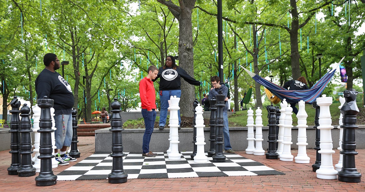
And how some cities, like Philadelphia, are transforming their waterfronts using low-cost, temporary projects to spur long-term change to public spaces.

A group from City Year play a life-sized game of chess at Spruce Street Harbor Park along the Delaware River in Philadelphia. (Lindsay Lazarski/WHYY)
We’re gathering information, images, and short video clips for an interactive map documenting the state’s changing waterfronts and we need your help.
We want to know what you see along the waterfront in your city or town. What changes have you noticed over the years? And what changes do you expect to come?
Share your observations, photographs or short videos by emailing llazarski@whyy.org or through Twitter @Pacrossroads. Don’t forget to tell us your location and we may include your contributions in our upcoming series.
WHYY is your source for fact-based, in-depth journalism and information. As a nonprofit organization, we rely on financial support from readers like you. Please give today.


