
Philadelphia sees one of its warmest summers on record
The city’s average temperature tied for the third warmest on record from June through August.

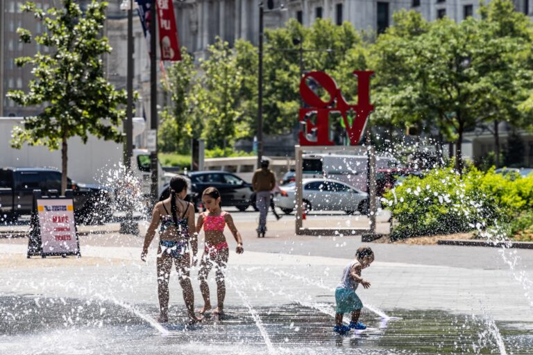
Kids played in the spray ground at Love Park in Philadelphia during an extreme heat warning in the region on July 15, 2026. (Kimberly Paynter/WHYY)
This story is part of the WHYY News Climate Desk, bringing you news and solutions for our changing region.
From the Poconos to the Jersey Shore to the mouth of the Delaware Bay, what do you want to know about climate change? What would you like us to cover? Get in touch.
Philadelphia experienced one of its hottest summers this year.
The city’s temperature has topped 90 degrees Fahrenheit 40 times so far this year. On average, Philadelphia sees 90-plus-degree days 30 times per year, said Sarah Johnson, a warning coordination meteorologist at the National Weather Service.
“We were well above normal,” Johnson said.
Temperatures topped 100 degrees for three consecutive days in early July.
The city’s temperature averaged 78.8 degrees from June through August, which tied for the third-warmest summer on record. Philadelphia’s hottest summer was in 2010, when the average temperature hit 79.6 degrees Fahrenheit.
This summer is expected to clock in as the warmest and most humid on record for the contiguous United States. A strong El Niño is expected to push global temperatures to new record highs in 2027.
El Niño has less of an impact on temperatures in the mid-Atlantic, but does tend to depress tropical storm activity in the Atlantic basin, Johnson said.
Related Content

What Philly’s Fourth of July heat wave reveals about climate change
Scientists say rising temperatures and intense storms will become more likely because of human-caused climate change.
3 months ago
Human-caused climate change has been driving temperatures up overall, raising the risk of dangerous heat waves. Gabriel Vecchi, a professor of geosciences at Princeton University who specializes in climate science, said global warming and smaller, unpredictable weather patterns likely contributed to Philadelphia’s historically warm summer.
“It’s a combination of global warming increasing the odds for extreme temperatures … as well as just bad luck is in the setup of the storms,” he said.
Warmer, wetter air means hotter nights
Long-term warming means more water evaporating from the oceans and remaining trapped in the air, said Kyle Imhoff, Pennsylvania’s state climatologist. Combined with increasing development of heat-trapping surfaces in the Philadelphia area, this can result in hotter nights.
“Our nighttime temperatures aren’t dropping as much because of the fact that we have more water vapor in the air,” Imhoff said.
Warm nights were a “big factor” in the impact of the heat waves that hit the Philadelphia region this July, Johnson said.
“We were not getting below 70 degrees — in some cases … we weren’t getting below 80 degrees at night,” she said. “Our bodies are really relying on a chance to recover during the overnight hours before facing additional heat during the next day.”
Johnson said even though meteorological summer ended Aug. 31, residents of the Philadelphia region should be prepared to take precautions if temperatures rise again.
“Even though the peak of the summer has passed, we could still have impacts with extreme heat,” she said.

Get daily updates from WHYY News!
WHYY is your source for fact-based, in-depth journalism and information. As a nonprofit organization, we rely on financial support from readers like you. Please give today.
Part of the series
Philly-area heat wave could push electricity demand to record levels
The dangerous heat is accelerating air conditioner use. Data centers could be directed to use their own backup power.
3 months ago
‘Fingerprint of climate change’: April heat wave could break a record in Philadelphia
Climate change makes balmy April temperatures twice as likely, according to a research nonprofit.
6 months ago
Listen 0:48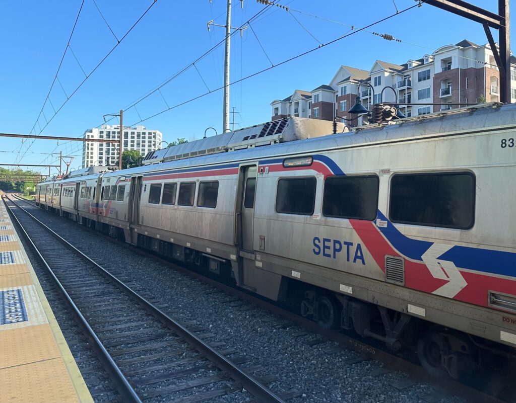
SEPTA says heat wave precautions could mean schedule delays
Extreme heat could impact rail infrastructure. SEPTA says it slows down trains to prevent failures.
1 year ago