

Gusty winds, dangerous waves, flooding expected along New Jersey, Delaware coast
A powerful nor’easter is expected to push strong winds and high surf along the coast.
Listen 1:00
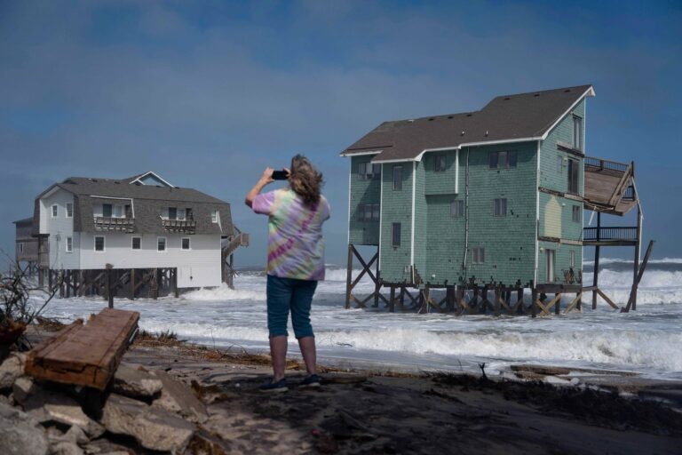
FILE - A person stands and takes photos of houses at risk of collapse in the midst of a storm, Sunday, Oct. 12, 2025, in Buxton, N.C. (AP Photo/Allison Joyce)
This story is part of the WHYY News Climate Desk, bringing you news and solutions for our changing region.
From the Poconos to the Jersey Shore to the mouth of the Delaware Bay, what do you want to know about climate change? What would you like us to cover? Get in touch.
The region is bracing for a nor’easter this week, which is expected to bring gusty winds and violent waves along the coast in New Jersey and Delaware.
Nor’easters are strong low-pressure storm systems marked by powerful winds that blow in from the northeast.
Coastal cities in New Jersey and Delaware are expected to face the most severe conditions Wednesday through Saturday, said Patrick O’Hara, a meteorologist at the National Weather Service in Mt. Holly, New Jersey.
“A low-pressure area is going to develop offshore, move northward toward New England, and spread some wind and some high surf and sea conditions for Delaware and New Jersey starting tomorrow and going into the weekend,” he said.
The National Weather Service has issued high surf, rip current and wind advisories along the Jersey Shore and Delaware beaches, as well as coastal flood advisories.
Coastal areas could experience wind gusts as high as 45 mph over the next two days, with the potential to cause power outages and downed trees.
Related Content

Philadelphia sees one of its warmest summers on record
The city’s average temperature tied for the third warmest on record from June through August.
1 month ago
Waves are expected to reach up to 12 feet in surf zones, increasing the risk of dangerous rip currents. Bayside communities could also experience widespread roadway flooding, and beaches could face severe erosion.
Conditions in Philadelphia will be less severe, but gusty wind conditions of up to 30 mph are expected between Thursday and Friday. The Delaware River may also rise, which could bring minor to moderate flooding.
People who live in beach towns in New Jersey and Delaware are urged to avoid driving through floodwaters, avoid swimming in the ocean and protect their properties from flooding. Residents should also secure items that could be whisked away during high winds.
“People along the coastal areas would be the ones that are most impacted and things that blow around in the windstorms, they should bring those inside,” O’Hara said.
People should also be mindful when parking their cars, he said.
“People don’t realize that they can leave their car at a parking lot which gets tidal flooding, and they come back six hours later and the water is surrounding their car,” O’Hara said.
Weather conditions are expected to gradually subside on Sunday.

Get daily updates from WHYY News!
WHYY is your source for fact-based, in-depth journalism and information. As a nonprofit organization, we rely on financial support from readers like you. Please give today.
Part of the series
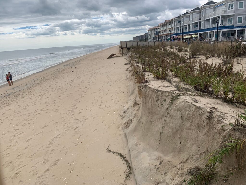
Some beaches saw significant dune loss following the recent nor’easter. However, regular nourishment projects are almost fully federally funded.
2 weeks ago
Listen 1:06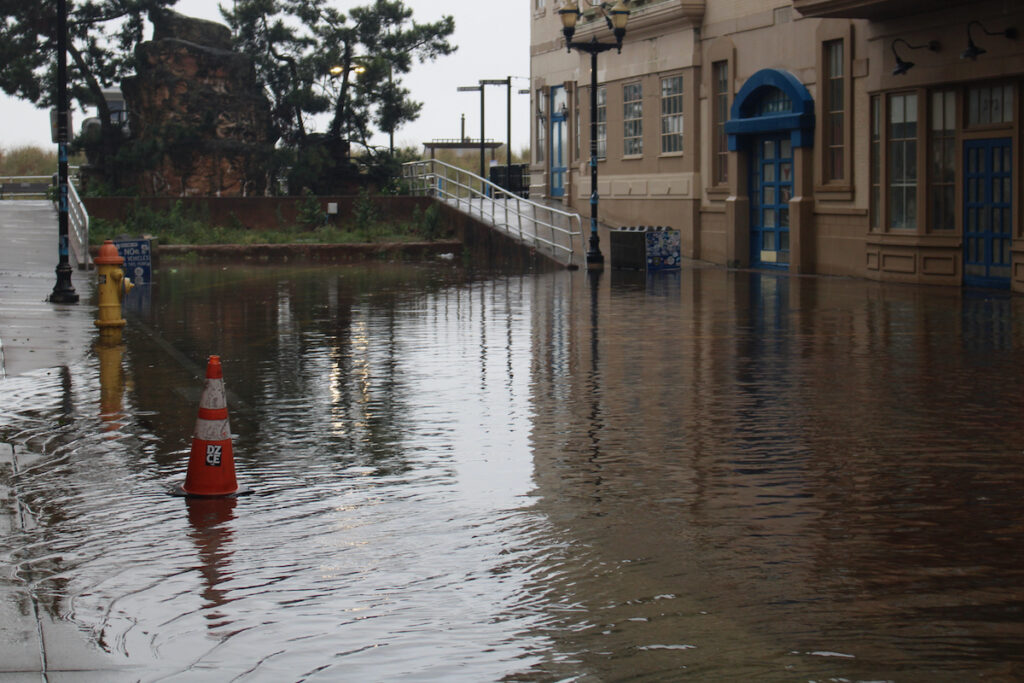
Shore towns saw the worst of the storm this weekend. Officials say more flooding may come.
3 weeks ago
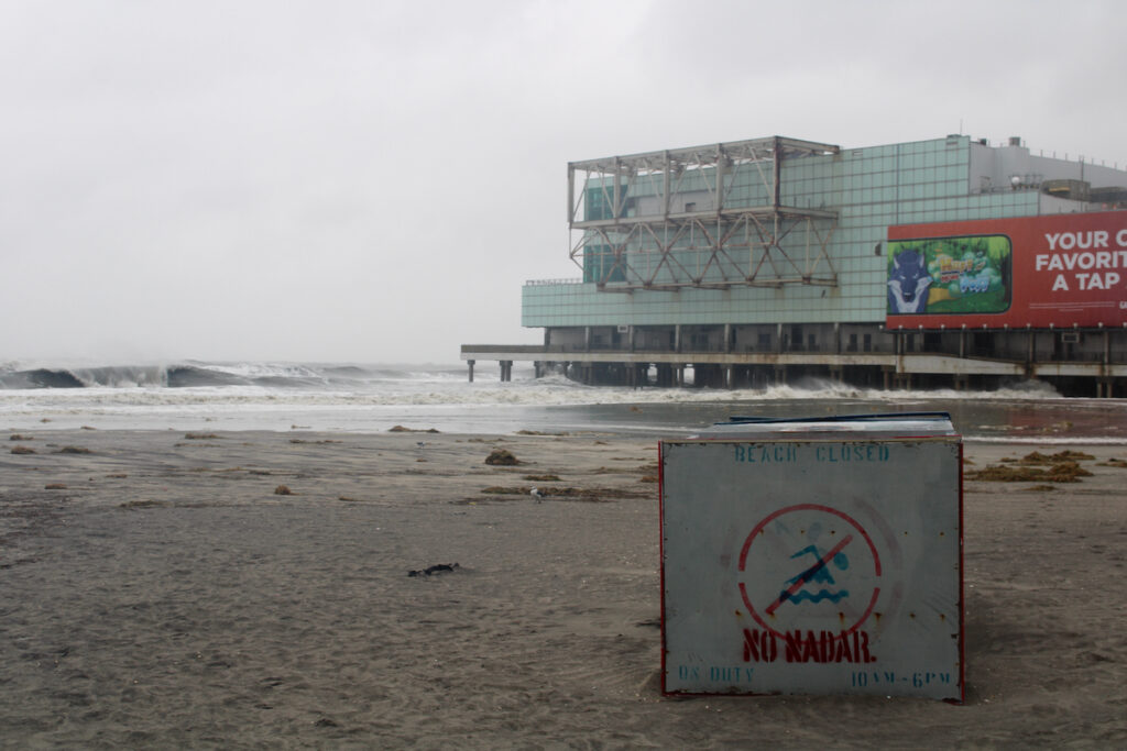
Nor’easter hits Philadelphia region, bringing high waves, coastal flooding to N.J. and Delaware
New Jersey Gov. Mikie Sherrill has issued a state of emergency for eight counties, with some shore towns issuing voluntary evacuation orders.
3 weeks ago