Interactive public access map features nearly 3,000 Jersey Shore points

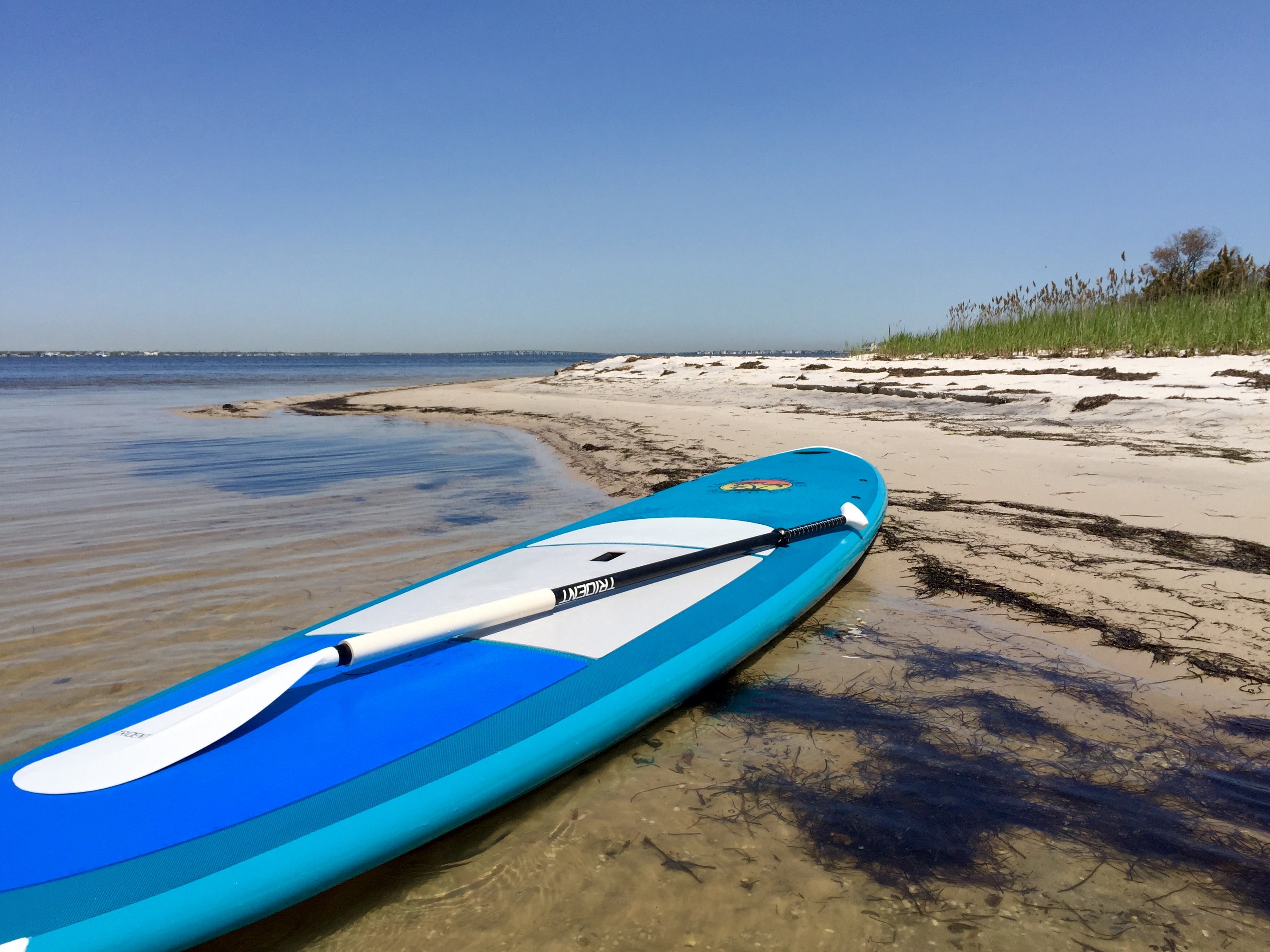
A paddleboat along the Barnegat Bay shoreline in Island Beach State Park in late May 2016. (Photo: Justin Auciello/for NewsWorks)
There are nearly 3,000 public beach, bay, and river access points at the Jersey Shore, and a newly unveiled interactive map shows each one.
The map employs Geographic Information System technology to locate the 2,900 access points in Monmouth, Ocean, Atlantic, and Cape May counties, providing users with an aerial and street view, according to a state release.
Users can view amenities and recreational options available at each location, including parking, handicap accessibility, restrooms, boardwalks, and more.
“This versatile tool will help longtime New Jersey residents and newer tourists locate the wide range of access points to our tidal waters for all forms of recreation,” Department of Environmental Protection Commissioner Bob Martin said in a release.
The state expects to expand the map to other locations throughout the state later this year.
The map is available here.
WHYY is your source for fact-based, in-depth journalism and information. As a nonprofit organization, we rely on financial support from readers like you. Please give today.

