Icing later Tuesday; significant snowfall possible Wednesday night into Thursday

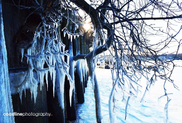
Belmar Marina in February 2015 by Coastline Photography.
Another system will impact the area today, beginning as snow this afternoon and eventually changing over to sleet and freezing rain during the evening hours, forecasters say.
While the forecast calls for minimal accumulation amounts, the National Weather Service warns of travel difficulties this evening, especially during the commute.
“Even with minimal icing farther south toward the I-95 corridor, travel will be adversely impacted as untreated roads and sidewalks become slippery, especially considering the snow/sleet starting around rush hour that could transition to a brief period of freezing rain toward the end of the evening commute,” a Forecast Discussion issued by the National Weather Service office in Mount Holly, NJ advises.
Gary Szatkowski. meteorologist-in-charge at the Mount Holly office, says that “there is no safe amount of icing.”
As temperatures warm this evening, wintry precipitation will change over to plain rain, lasting through tomorrow, according to the National Weather Service.
By tomorrow night, as colder air once again arrives, rain will change over to snow, with the chance for significant accumulations through Thursday evening.
The current National Weather Service forecast calls for generally four to six inches, with a pocket of six to eight inches in coastal Monmouth County. But there is potential for double digit amounts in northern Shore areas.
WHYY is your source for fact-based, in-depth journalism and information. As a nonprofit organization, we rely on financial support from readers like you. Please give today.

