Here’s how snow will stick despite today’s warm temperatures

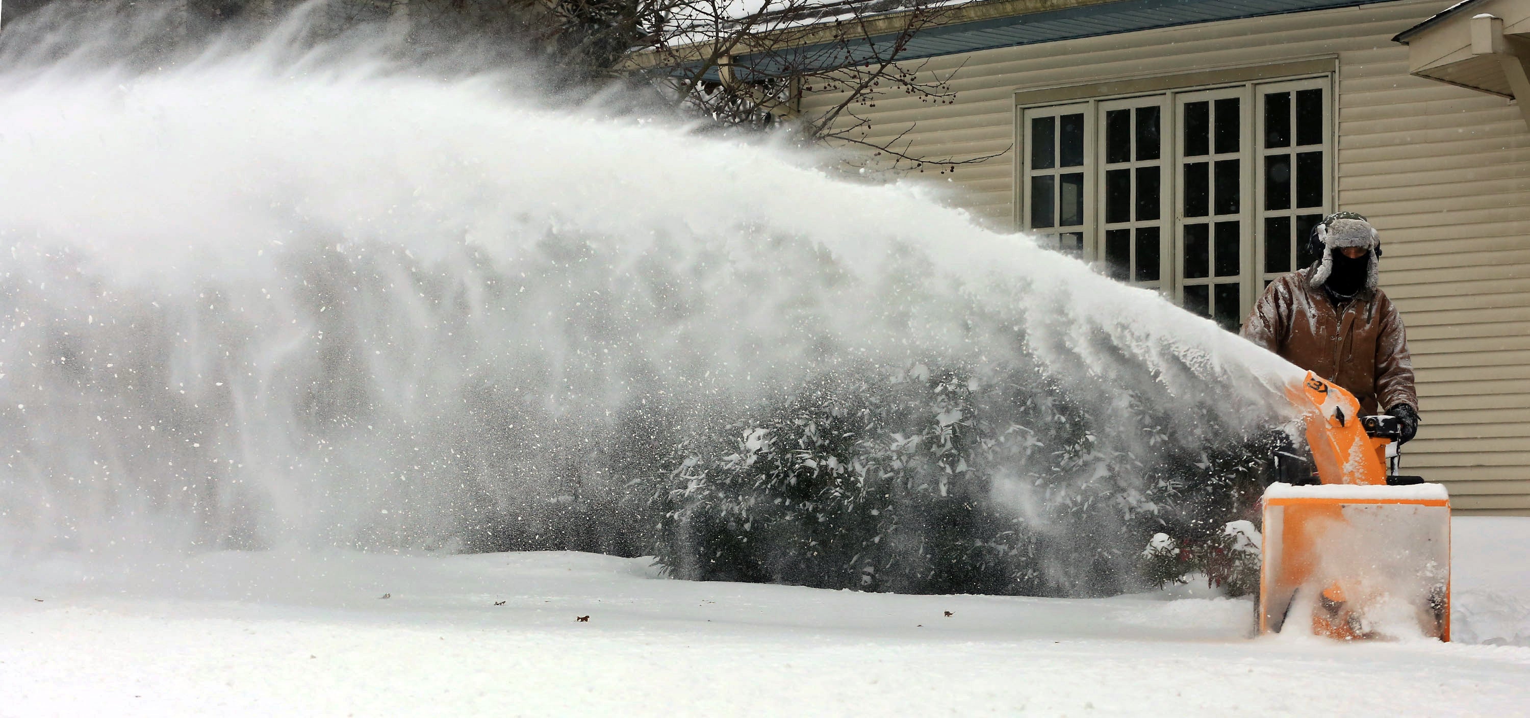
Gary Buss uses a snow blower to clear walkways and sidewalks in front of his properties on Main Street during a winter storm, Friday Jan. 22, 2016, in Blacksburg, Va. A blizzard menacing the Eastern United States started dumping snow in Virginia, Tennessee and other parts of the South on Friday as millions of people in the storm's path prepared for icy roads, possible power outages and other treacherous conditions. (Matt Gentry/The Roanoke Times via AP)
How is it possible for snow to stick tomorrow morning after some locations saw record high temperatures today?
That’s a question on many minds right now as new records were set today at the Atlantic City International Airport (70 degrees) and Philadelphia (64 degrees).
Lance Franck, a meteorologist at the National Weather Service office in Mount Holly, explains that a cold front will be moving through tonight, dropping temperatures overnight and cooling the ground as rain begins to fall.
Temperatures will continue decreasing as rain continues, allowing the precipitation to change over to snow around daybreak, he said.
At that point, according to Franck, temperatures will be close to freezing, and snow will begin to fall.
As it becomes heavier — snowfall rates of one to two inches per hour are likely during the morning rush hour — the ground will continue to cool.
Franck says because the snow will begin early in the day — lower sun angle — and the rate at which it will be falling will allow the snow to overcome the warming from today’s warm temperatures.
That results in roadway accumulation.
New York Metro Weather’s John Homenuk adds that the dynamics in the atmosphere are intense and will rapidly cool the surface.
“So despite warm temperatures, initially the environment cools,” he said. “And then as the low pressure develops it becomes even more significant because the flow around the low brings cold air in from the north/northeast.”
As of early this afternoon, the National Weather Service is forecasting a general five to seven inches for most of the Jersey Shore and South Jersey. Lesser amounts are in the forecast for the southern Shore and Delaware Bayshore,.
But the forecast cautions that an over-performing storm could generate up to around eight to 10 inches in the northern Shore and lower amounts to the south, tapering off from west to east during the afternoon hours. You can follow along as the forecast adjusts later today here.
Franck warns that the snow will be wet and heavy in texture and winds will be gusting up to 35 miles per hour, which could result in some branches falling and power outages.
If you must travel, plan for a messy and slow morning commute.
WHYY is your source for fact-based, in-depth journalism and information. As a nonprofit organization, we rely on financial support from readers like you. Please give today.

