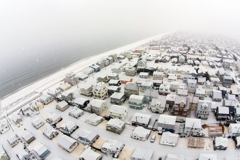
Here we go again: More snow on the way for the Jersey Shore

The first snowfall of 2015 in Ocean Beach 2 on January 6. (Photo: JSHN contributor Shane Skwarek)
Just a day after a significant snowfall in portions of the Jersey Shore, more is on the way for tonight into tomorrow.
A low pressure system will track along the coast beginning tonight, tossing moisture into our bitterly cold atmosphere, according to the National Weather Service.
“The fast moving nature of the system ought to hold the snowfall amounts from getting too crazy,” wrote Patrick O’Hara, a forecaster at the National Weather Service office in Mount Holly, NJ, in the agency’s morning Forecast Discussion.
The forecast generally calls for four to six inches along the entire Jersey Shore, with three to four inches in northwestern Monmouth County and six to eight inches in southern Cape May County, beginning tonight and ending by late tomorrow morning.
With lesser amounts in areas to the northwest, the Shore will take the greatest snowfall hit from this storm.
But unlike the weekend storm, forecasters say that this storm will not deliver bitter winds and blowing snow.
Some forecast uncertainty remains with snowfall totals, as the snow liquid ratio may be higher. Stay tuned for updates later today.
The bottom line is that this wintry system will have an adverse impact on the Tuesday morning commute.
WHYY is your source for fact-based, in-depth journalism and information. As a nonprofit organization, we rely on financial support from readers like you. Please give today.

