Plagued by chronic flooding, Southbridge neighborhood hangs hopes on old-school fix
ListenGenerations of residents in Wilmington’s low-lying Southbridge neighborhood are all too familiar with chronic flooding.
As sea level rise and increasingly intense storms promise to send portions of the neighborhood under water, if protective measures aren’t taken, the city is looking to a new urban wetland for help.
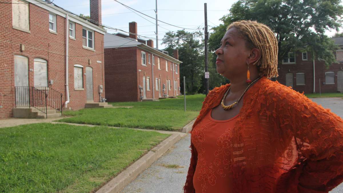
The historic neighborhood of Southbridge is built on former marshland and is surrounded on three sides by the Christina River.
Even teenagers who live there can point out streets that become impassable when it rains at high tide, fields that turn to swimming pools, and sidewalks that disappear under standing water.
Predictive maps show that most of the neighborhood would be permanently covered by water if sea levels rise by a meter and a half, the upper limit state officials are preparing for by century’s end.
Eleven percent of Delaware’s landmass could be inundated by 2100, according to state projections.
Already living with chronic flooding
Southbridge residents have long had ways to cope with soggy basements and occasionally flooded roadways.
Martin Reed Jr., who owns a 19th-century row-home in Southbridge, keeps his basement floor covered with gravel.
“It kind of gives me something hard to walk on,” Reed said. “The water will sift back through that when it goes, and I don’t have to walk in mud.”
Reed elevates everything in his basement, from toilet paper to tools, on double cinder blocks to keep them dry.
Reed and his sister, Marie Reed, grew up with their seven siblings in Southbridge and remember clearing their toys from their basement playroom during rainstorms.
“When it would rain, [when] we were little, we would always have to go down to the basement and move things,” Marie Reed said.
One time, sewage backed up into the basement.
“We had two freezers that were ruined, the carpet,” Marie Reed said. “Everything in the basement was ruined.”
Some see flooding getting worse
Southbridge is a predominately black, low-income neighborhood of about 1,700 residents tucked into a bend in the Christina River, near where it flows into the Delaware.
Residents say it floods any time it rains at high tide, and occasionally water comes straight from the rivers when they swell.
“When a full moon comes and the tides are high, then there’s no place for the water to recede to go back out into the Christina or the Delaware, so it just floods,” said Clarence White, owner of White’s Body Shop and Auto Sales, located just a few blocks from the river.
White, who has been in business since 1960, said there has always been flooding in the street in front of his garage at high tide, but in recent years the water seems to be creeping higher.
“Recently we’ve been having the weather change and we’ve been having floods that would come inside the building and do some damage,” White said.
During the worst storm in memory, a few years ago, White said water flowed over the step leading up to his office and flooded it with about two feet of water.
“My building next door is a little lower, and it was in where the cars are, up to the tires,” White said.
The city doesn’t track how often it floods in Southbridge, but the tide gauge at nearby Reedy Point shows the Delaware River is rising: by a mean of about an inch and a half a decade since 1956.
Not just a problem for ‘giant houses along the ocean’
Delaware officials are preparing for about a foot and a half to five feet of sea level rise by century’s end. At the upper limit, that would permanently cover most of Southbridge, and make flooding substantially worse in other areas.
“One of the things that we’re really trying to make sure that people understand is that sea level rise is not just an issue for people with giant houses along the ocean,” said Susan Love, a coastal programs planner for the Delaware Department of Natural Resources and Environmental Control.
She said urban areas are a key concern for policymakers, especially poorer neighborhoods with fewer resources to engineer solutions.
Based on federal data presented in New York Times interactive maps, at five feet of sea level rise, nine percent of Boston, seven percent of New York City, and a whopping 88 percent of New Orleans would be permanently flooded without engineered protection.
“Manhattan is vulnerable to sea level rise; Philadelphia is vulnerable; Baltimore is vulnerable; up and down the East coast,” Love said. “And not just from flooding, but infrastructure issues, like drinking water intakes, if they’re contaminated by salt water, could be a huge problem.”
Access to ports up and down the East coast could also become a challenge, Love said.
Could a new urban wetland help?
Before water permanently covers portions of the Northeast, federal projections predict more powerful coastal storms and rainfall coming in heavier downpours, which is expected to make periodic urban flooding worse.
To deal with current flooding, Wilmington officials have recently de-clogged pipes and cleared a large drainage ditch in Southbridge.
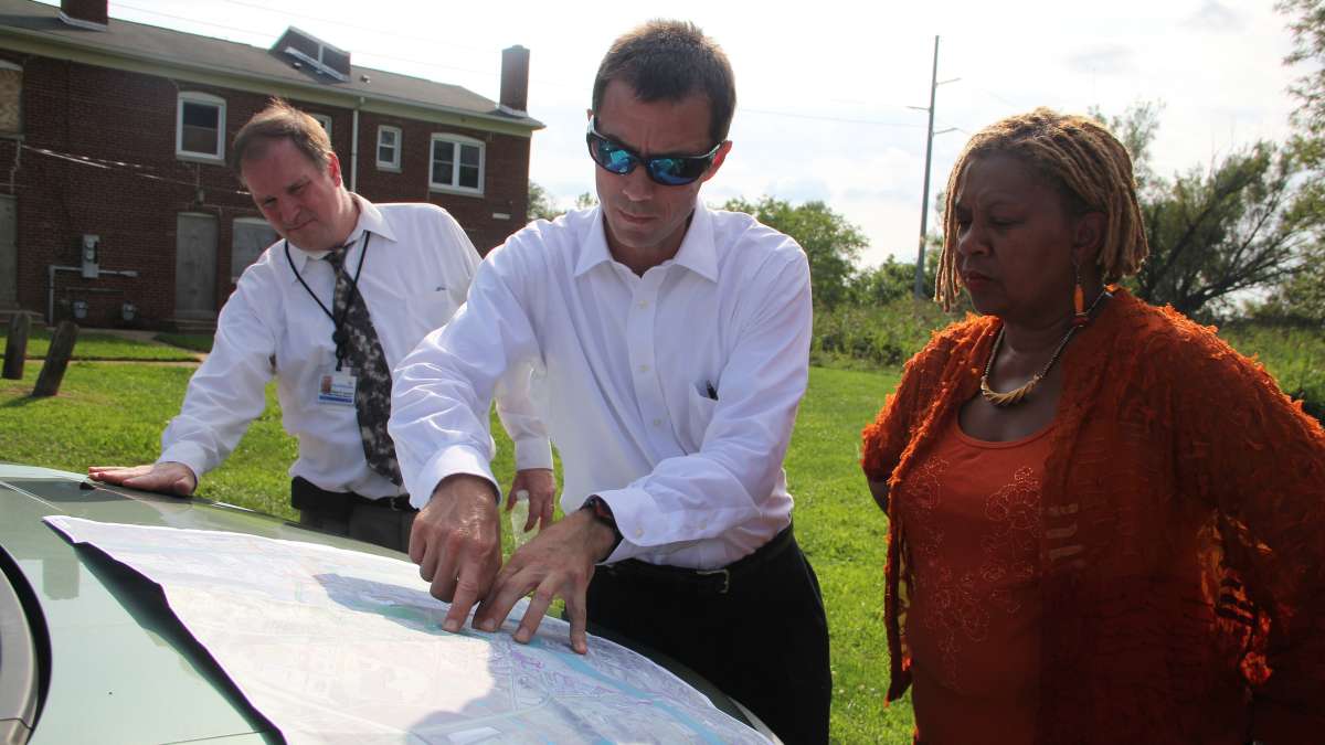
Now, as part of a coordinated 2008 flooding reduction plan for South Wilmington, state and city officials have their eyes on a vacant 30-acre parcel of land between the edge of Southbridge and US-13 North.
The plan is to clear 22 acres there, re-grade the land to lower its elevation, and cut open-water channels through to transform it back into a wetland, like it was before being filled in the industrial era. Officials hope to start building the wetland in 2015.
“It will look like a combination of open water, wetland grasses and vegetation, and then some forested areas,” said Jeff Flynn, Wilmington’s deputy director of economic development.
Boardwalks will let residents use the space for recreation, but the real key to the project will be under ground in the residential section of Southbridge, where a new network of sewage pipes will capture rainwater quickly and re-direct it to the wetland.
“[There], it will be stored and cleaned through natural processes, so when the tide in the river goes down, then the water from the wetland can drain out,” Flynn said.
Like tree trenches, green roofs, porous pavement and other elements of green infrastructure being championed in Philadelphia, the estimated $5 to $8 million wetland project allows rainwater to act more like it did before concrete and asphalt changed the water cycle.
The wetland, separated sewer system and other flooding reduction measures, which the city has appropriated over $14 million to complete, is aimed at preventing sewage back-ups and flooding during rain events, but it will not prevent overland flooding from the rivers.
“This project alone won’t address the pretty dramatic increase in sea level rise that’s being projected,” Flynn said. “But this combined with other future efforts will make a difference.”
Other solutions needed in the long-term
City and state planners are asking whether dikes or other engineered solutions could protect parts of Southbridge from swollen rivers in the future.
Elsewhere along the East Coast, preparations are in various stages of development: A 335-million dollar dike called “The Big U” is being planned to surround and protect lower Manhattan, and researchers in Boston are suggesting cutting canals into the city to absorb rising seas.
Southbridge’s City Council representative Hanifa Shabaaz said another option is being discussed as a possibility for future generations: permanent evacuation.
“Well of course I would be sad because I’m a four-generation South Wilmington resident,” Shabaaz said. “So of course I would love it to go on forever, but that’s Earth, evolution and time, so what can we do other than to understand it, respect it, be prepared for it?”
After all, she said, Southbridge isn’t the bricks and mortar that make up its buildings, but the people who live there.
WHYY is your source for fact-based, in-depth journalism and information. As a nonprofit organization, we rely on financial support from readers like you. Please give today.


