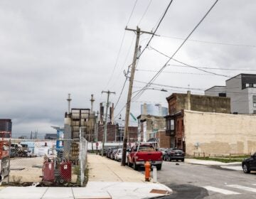
Snowstorm sets the scene for another blast of arctic air
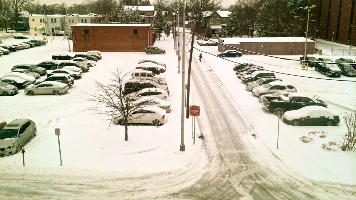
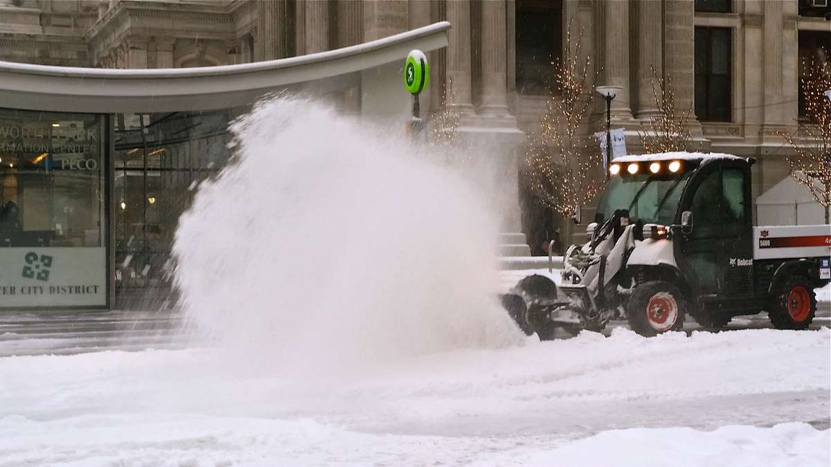
Tuesday morning’s snowstorm did what snowstorms will do: Closed schools, snarled some travel and challenged TV news personalities to come up with innovative ways to demonstrate just how much of the “white stuff” had fallen.
Totals were respectable but far from paralyzing, from as little as 2 inches west of Philadelphia to up to 7 inches in some parts of South Jersey.
Hundreds of schools closed in the region, including public and Catholic schools in Philadelphia. Scores of flights were canceled at Philadelphia International airport.
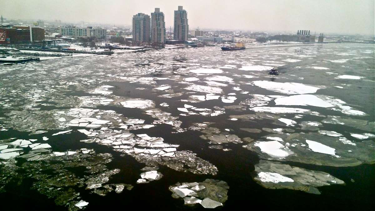
The next jolt will come with a blast of cold air, which is expected to bring single-digit lows on Wednesday and Thursday. Friday’s low may actually dip below zero.
New Jersey state climatologist Dave Robinson said a dip in the jet stream could continue bringing more frigid air into the region through the end of February.
But colder-than-usual Januarys and Februarys this year and last do not constitute a trend.
“The only trend we’ve seen actually over the last 20 years is that the coldest cold of the winter has been getting quite warm, and then along comes two years like this and you don’t know what to make of it,” Robinson said. “These things are very variable sometimes.”
The Associated Press contributed to this report.
WHYY is your source for fact-based, in-depth journalism and information. As a nonprofit organization, we rely on financial support from readers like you. Please give today.
