“High” rip current risk today due to arriving swells from Hurricane Cristobal

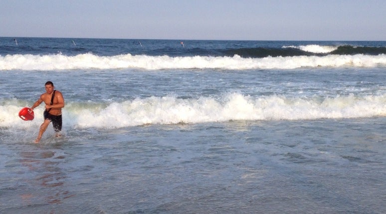
A lifeguard exiting the ocean after competing in the Seaside Park lifeguard tournament in July 2014. (Photo: Justin Auciello/JSHN)
Swells from Hurricane Cristobal are arriving at the New Jersey coastline Wednesday morning, prompting the National Weather Service to issue a high rip current risk.
While the storm will pass well to the southeast of the coast tonight and not impact weather on the Eastern seaboard, “long period swells will continue to spread outward from the storm” and impact the coastline, a Rip Current Statement issued by the service says.
The wave height in the surf zone will be in the three to five foot range Wednesday, according to the statement. Wave heights will peak Thursday then dissipate through the weekend, according to surfline.com.
“These rip currents will be life threatening to anyone who enters the surf,” the statement says.
Rip currents are powerful channels of water flowing quickly away from the shore, often occurring in low spots or breaks in the sandbar and in the vicinity of structures such as groins, jetties, and piers.
Since last weekend, numerous beaches have either placed limitations on swimming or prohibited it all together due to rough conditions and ocean rescues.
“Heed the advice of lifeguards and the beach patrol. Pay attention to flags and posted signs,” forecasters warn.
WHYY is your source for fact-based, in-depth journalism and information. As a nonprofit organization, we rely on financial support from readers like you. Please give today.

