NWS: Snow, rain both possible during late weekend coastal storm

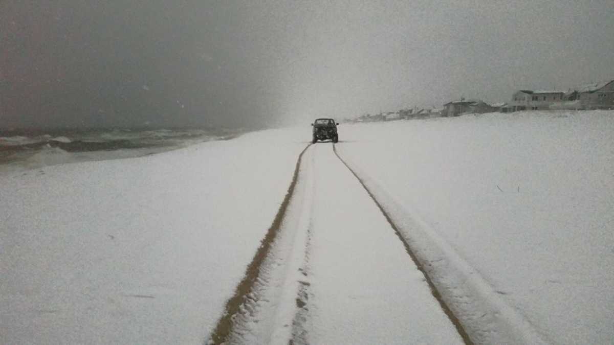
On the beach in Lavallette on March 20
The National Weather Service is monitoring the potential for a coastal low pressure system that could bring rain or snow to the area on the first day of spring.
According to the Wednesday afternoon forecast discussion by the NWS office in Mount Holly, NJ, the latest global models indicate an increasing potential for precipitation and cooler air for late Sunday into early Monday as compared to earlier model runs.
Coastal flooding might also be a concern, the forecast discussion notes.
But all precipitation types remain on the table four days out from the event
“It could mean a cold, windswept rain; it could mean an accumulating wet snow; it could mean a non-sticking rain/snow mix. Time will tell…” tweeted Press of Atlantic City meteorologist Dan Skeldon.
With days to go from the potential storm, Gary Szatkowski, who is also the meteorologist-in-charge at the Mount Holly office, says to “monitor the forecast.”
Some spots at the Jersey Shore saw seven inches of snow on the first day of spring last year, courtesy of an intense band that set up over portions of Monmouth and Ocean counties.
The snow began to quickly melt the next day.
WHYY is your source for fact-based, in-depth journalism and information. As a nonprofit organization, we rely on financial support from readers like you. Please give today.

